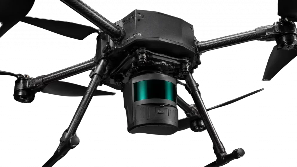
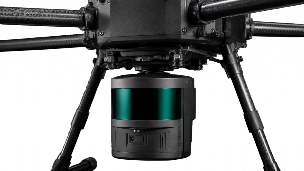
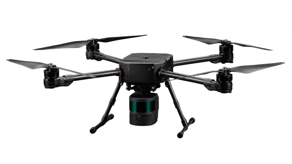
Industrial LiDAR Mapping Drone
Professional multirotor platform equipped with an integrated LiDAR payload for aerial mapping, point-cloud capture, and terrain data collection.
3 cm
LiDAR Accuracy
200 m
LiDAR Range
5
Number of Returns
240000 pts/s
Point Rate
38 min
Flight Time
6.2 mi
Operating Range
2 kg
Payload Capacity
gnss / rtk / ppk
Positioning
From
$18,900
Final pricing depends on payload configuration, batteries,
accessories, positioning options, software, and support requirements
Request a Quote
Tell us about your requirements and we’ll provide pricing and configuration details.
Ready-to-Deploy
Verified Specifications
U.S.
Support
NDAA Compliant
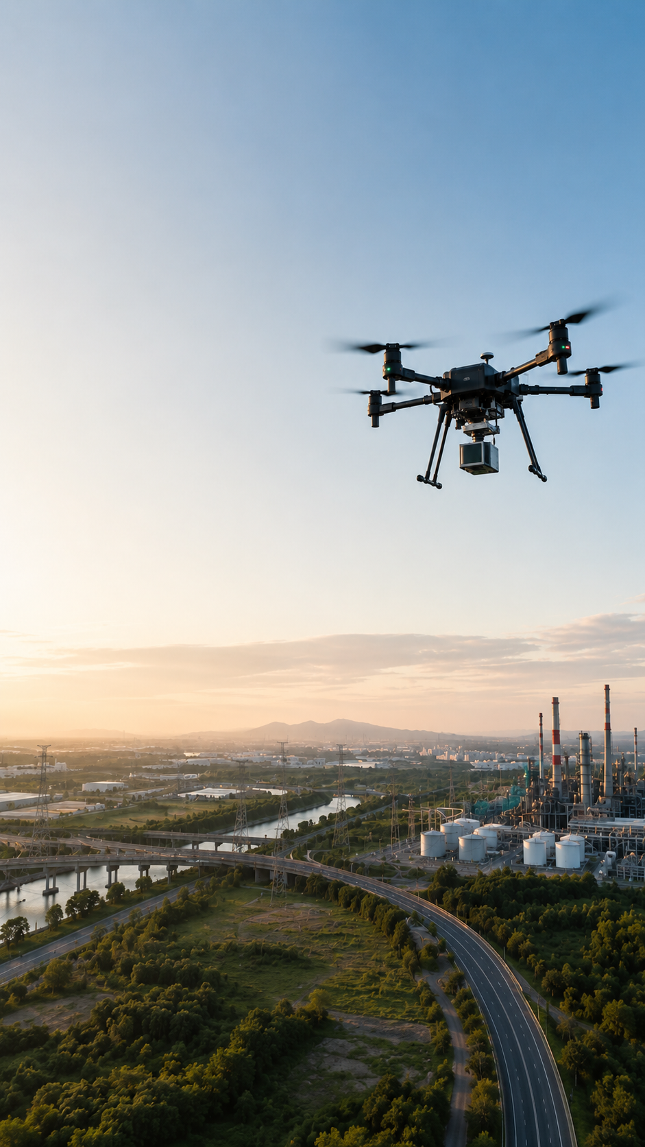
INDUSTRIAL DRONES FOR THE JOB
Find a ready-to-deploy industrial drone system built around your job, operational requirements, and the data you need to collect.
Ready-to-Deploy
Verified Specifications
U.S. Support
NDAA Compliant
Select the Right Drone System
Answer a few task questions and requirement prompts to reach a matching scenario and result.
Loading selector...
HEAVY PAYLOAD CAPACITY
SECURED CARGO TRANSPORT
Route
Shield Check
On this page:
Drone Solutions
Applications
Technology
Overview
FAQ
Drone Solutions
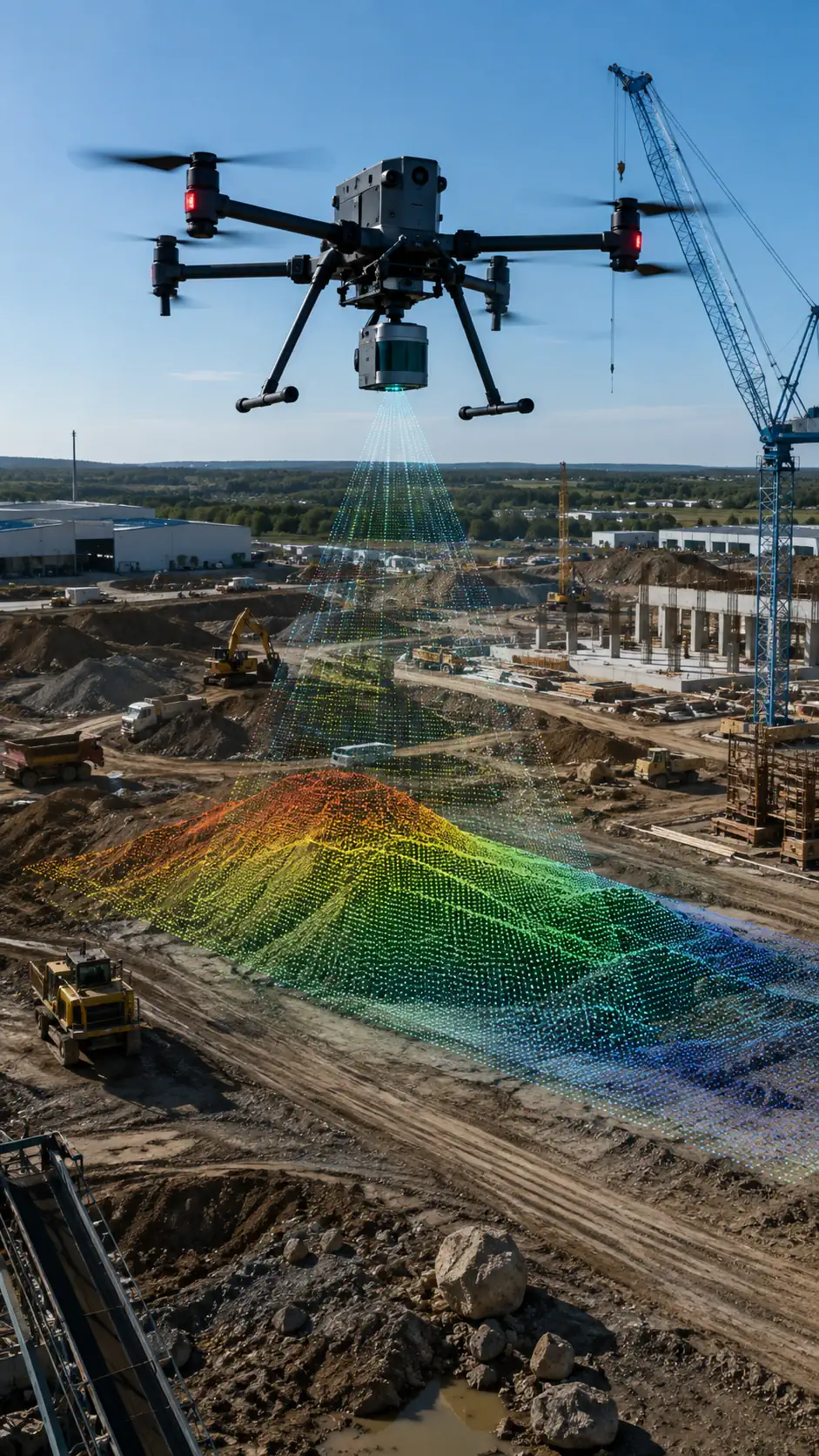
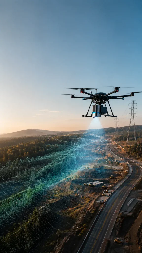
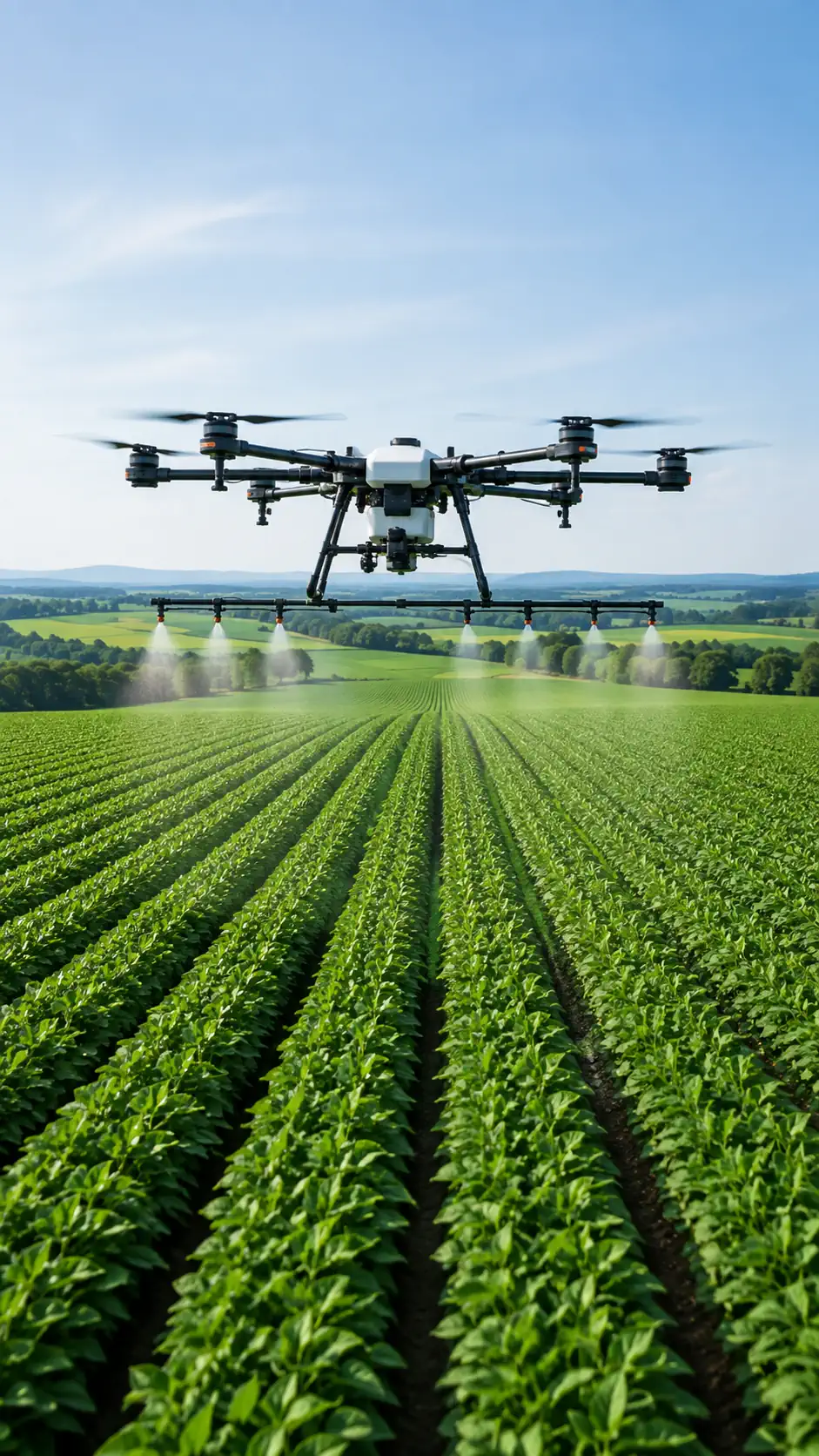
Industrial Drone Applications
Industrial UAV systems can support different applications by combining the right sensor, flight method, software, and field procedure. These categories describe the work being performed, not the industry where it takes place.
Inspection
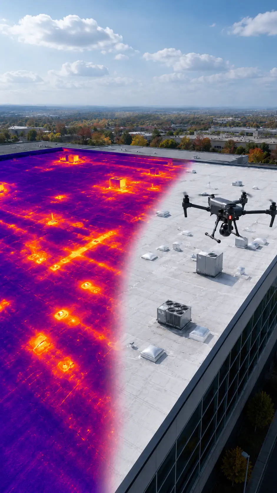
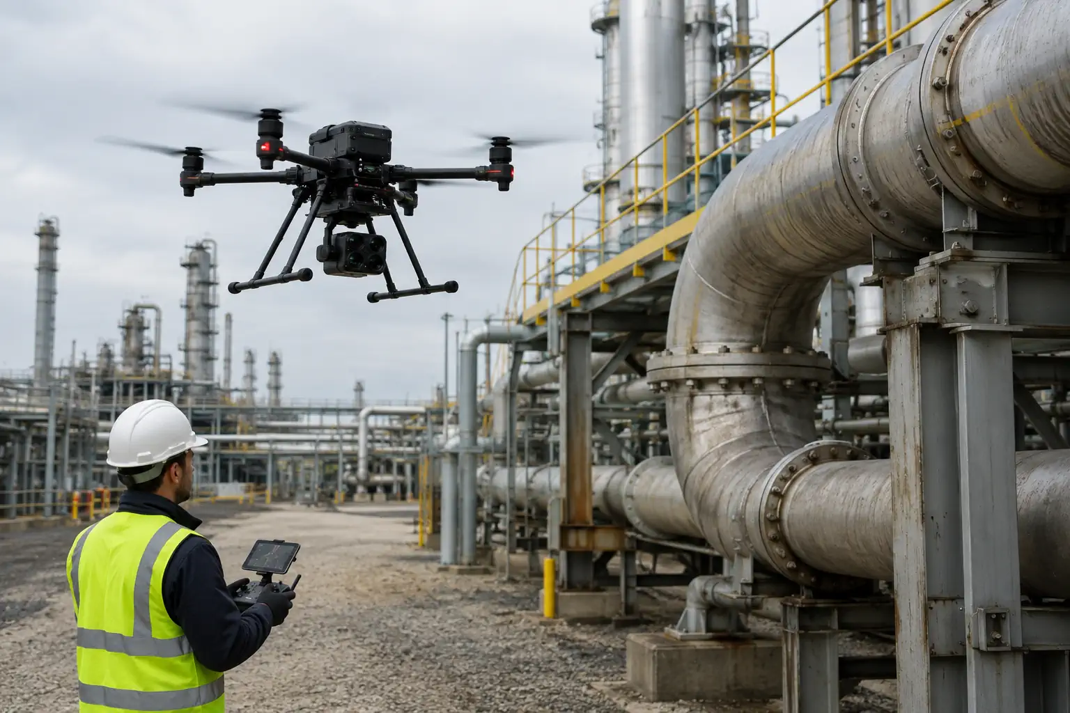
Capture detailed visual, thermal, or spatial records of structures and equipment from controlled viewpoints. The result supports condition review, comparison, and documentation without treating the flight itself as the final deliverable.
Mapping
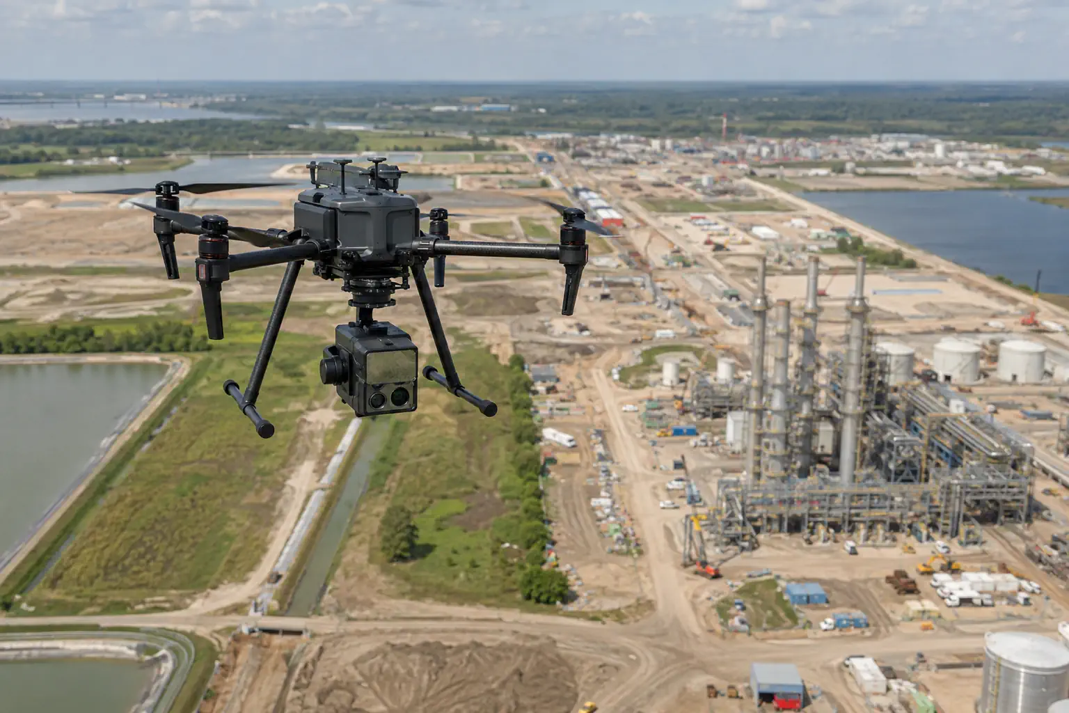
Acquire aerial data for orthomosaics, elevation products, site maps, and three-dimensional representations. Platform, payload, ground references, processing, and quality checks must work together to produce a useful map.
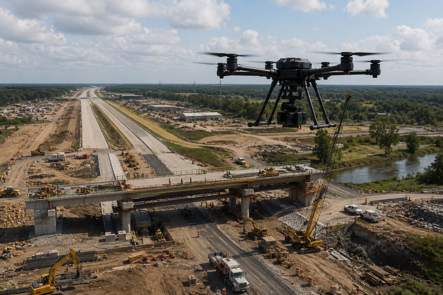
Monitoring
Repeat a planned mission over infrastructure, construction, land, or facilities to observe change through time. Comparable routes and capture settings help teams distinguish real change from inconsistent collection.
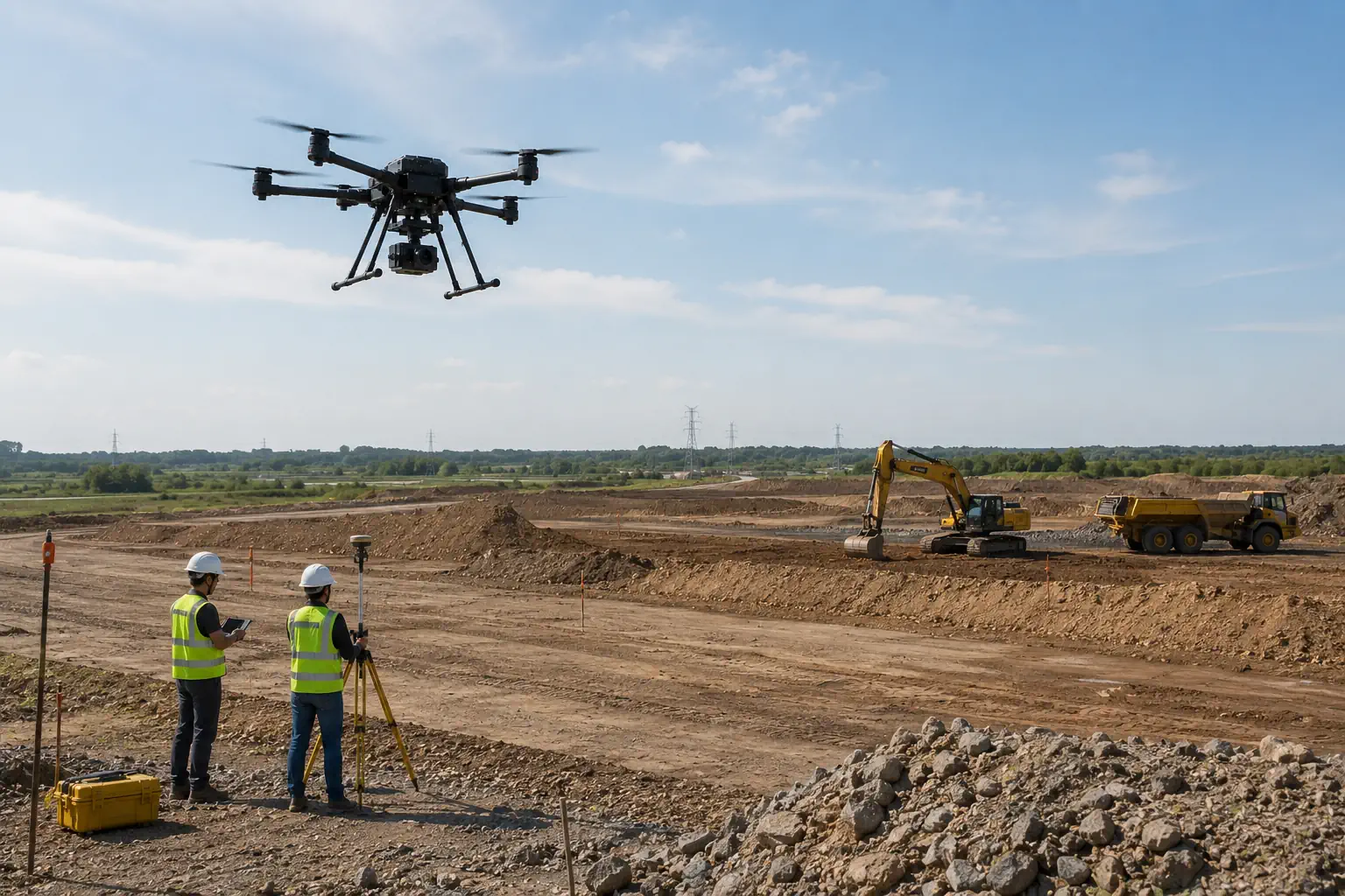
Surveying
Collect overlapping imagery or other suitable measurements across a defined site using planned coverage and field control. The resulting dataset can support professional survey workflows when the complete method meets the project’s accuracy and documentation requirements.
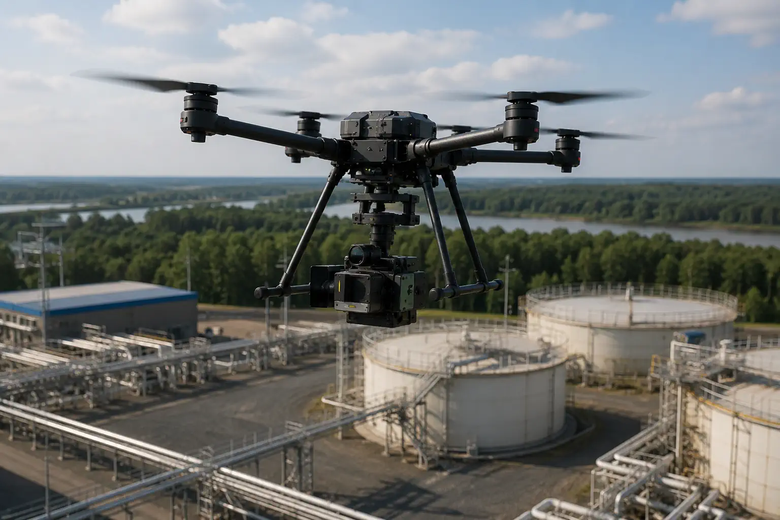
Specialized Data Collection
Carry thermal, LiDAR, multispectral, environmental, or custom payloads to collect information that standard imaging cannot provide. The mission is designed around the required dataset and how specialists will interpret it.
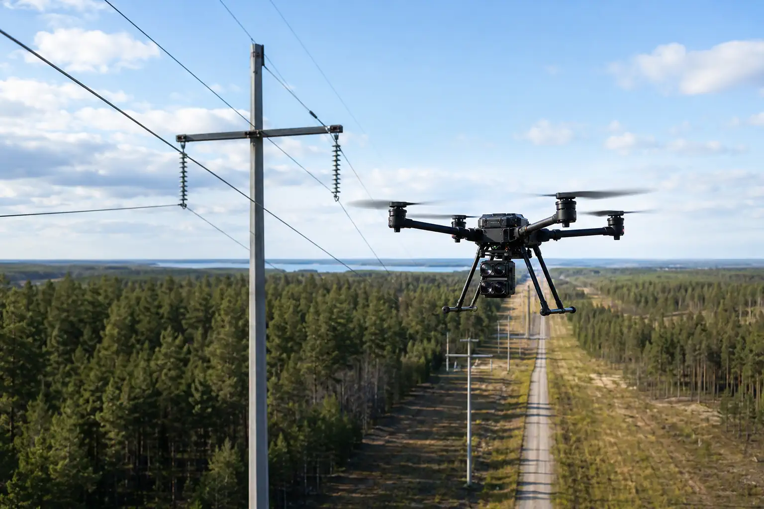
Asset Documentation
Create organized records for distributed assets, including imagery, location context, condition observations, and repeat-visit history. Data can feed an asset workflow when naming, storage, permissions, and integration are defined.
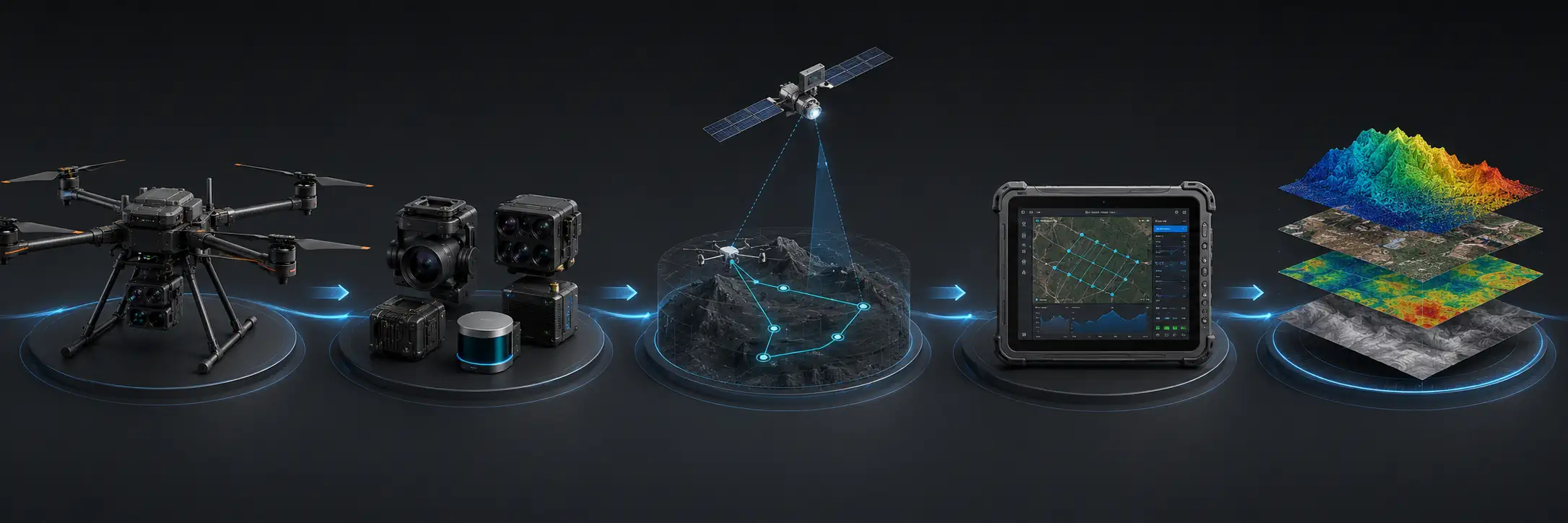
Technology Behind Industrial Drone Operations
PLATFORM
PAYLOAD
NAVIGATION
SOFTWARE
DATA
Technology Behind Industrial Drone Operations
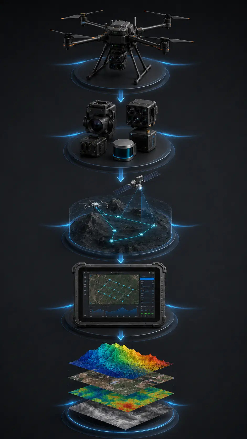
PLATFORM
PAYLOAD
NAVIGATION
SOFTWARE
DATA
Software and Data Workflow
The mission continues after landing. A professional workflow turns a field operation into information that can be reviewed, delivered, and integrated.
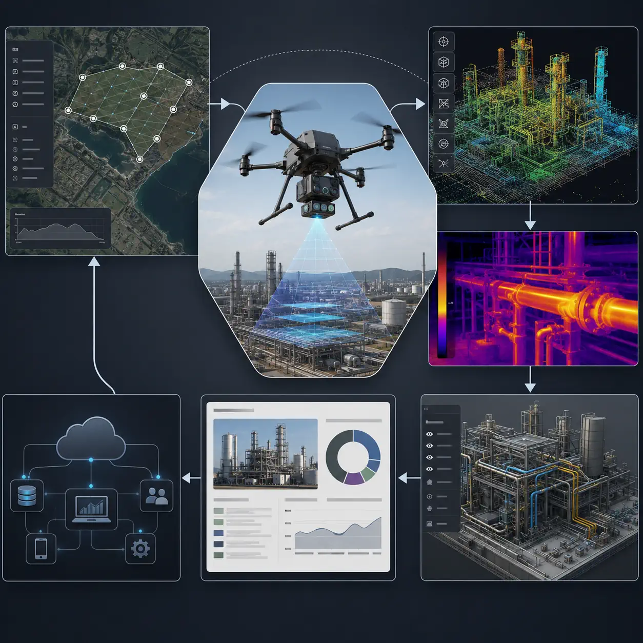
Plan
Define the operating area, required coverage, route logic, payload settings, ground controls, crew roles, site restrictions, and contingency actions. Planning should begin with the deliverable and work backward to the capture method.
Fly
Execute the approved mission while monitoring the aircraft, payload, environment, communications, and operating area. Automation may support route consistency, but trained personnel remain responsible for supervision and decisions.
Capture
Record imagery, thermal data, LiDAR measurements, telemetry, or other sensor output with the metadata needed for processing and traceability. Field checks help identify incomplete coverage before the team leaves the site.
Process
Convert raw captures into maps, point clouds, models, thermal datasets, organized imagery, or other required products. Processing settings, calibration information, coordinate systems, and version control should match the project method.
Analyze
Review the processed output against acceptance criteria and the business question. Qualified specialists identify conditions, measurements, changes, exceptions, or areas requiring further investigation without overstating what the data proves.
Integrate
Deliver reports, models, datasets, findings, and supporting records into the systems used by the organization. Confirm ownership, permissions, export formats, naming, retention, backups, and links to asset or project records.
Payloads and Sensors for Industrial Drones
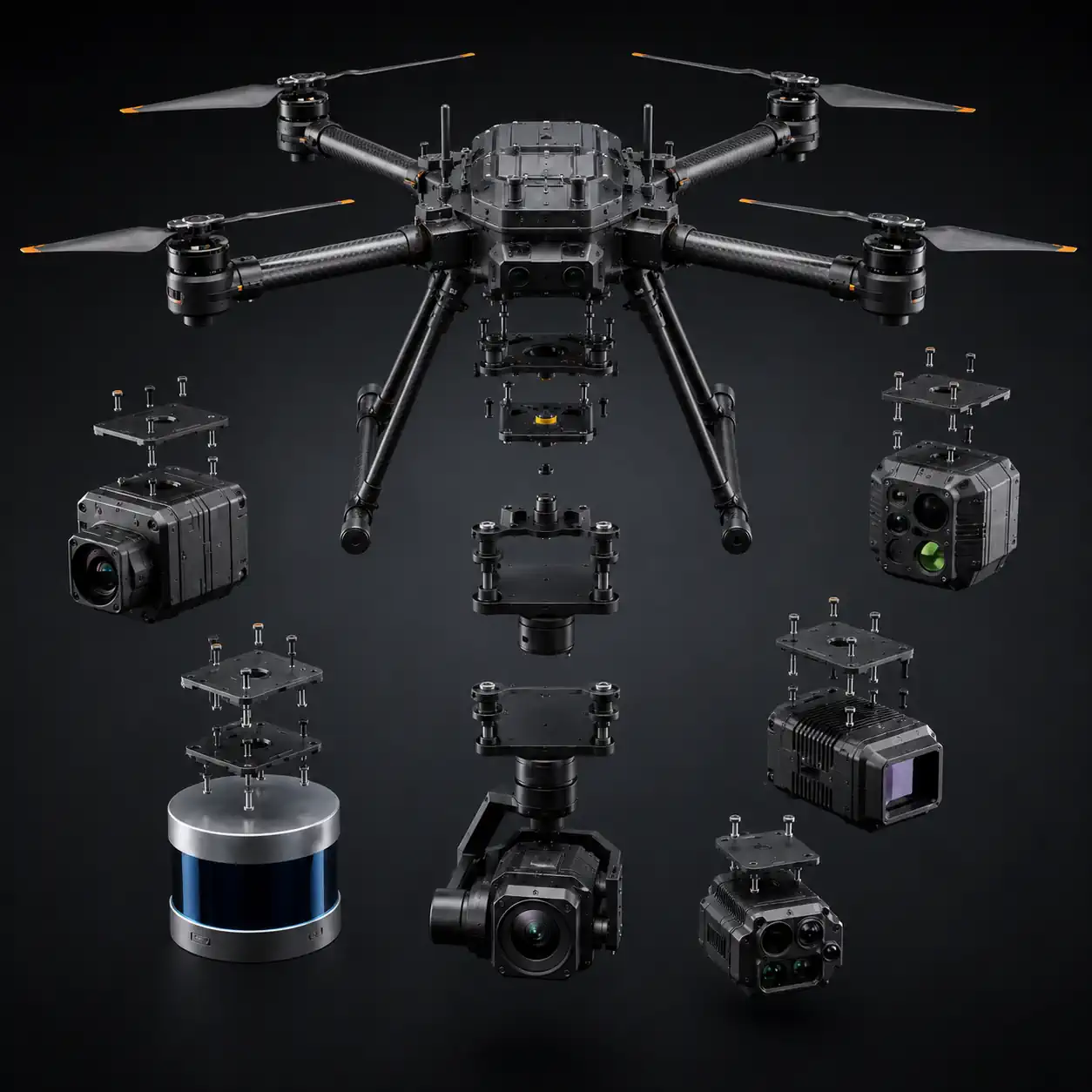
Payload selection begins with the information the team needs, not with a list of available cameras. Each sensor produces a different type of evidence and introduces its own integration, calibration, processing, and operating requirements. The options below are possible system configurations rather than standard features of every industrial UAV. Buyers should confirm compatibility with the proposed aircraft, mount, power supply, control interface, software, field procedure, and required deliverable.
RGB Imaging
High-resolution visual imaging can document surfaces, components, site context, and change over time. It supports inspection records, mapping, models, and communication when coverage, focus, overlap, metadata, and review procedures are defined.
LiDAR
LiDAR records spatial measurements that can be processed into point clouds and geometric products. It may support terrain, structures, corridors, volumes, and digital models when positioning, calibration, flight planning, processing, and quality control meet the project requirement.
Multispectral Imaging
Multispectral payloads capture selected wavelength bands for analysis beyond ordinary color imagery. They can support vegetation, environmental, and material-related workflows when lighting, calibration references, processing methods, and domain interpretation are planned.
Thermal Imaging
Thermal sensors record temperature patterns that can support inspection and monitoring. Useful interpretation depends on the target, environment, capture conditions, calibration, and qualified review; thermal imagery does not automatically identify the cause of an observed pattern.
Environmental Sensors
Gas or environmental modules may collect localized measurements of specific conditions. Their use requires a clear sampling objective, suitable sensor response, airflow and placement review, calibration, exposure planning, and an interpretation method appropriate to the environment.
Custom Payloads
Custom instruments, communication packages, samplers, or tools may be integrated when standard modules do not fit the task. Such work should be treated as an engineering project covering structure, power, data, balance, control, failure behavior, tests, documentation, and support.
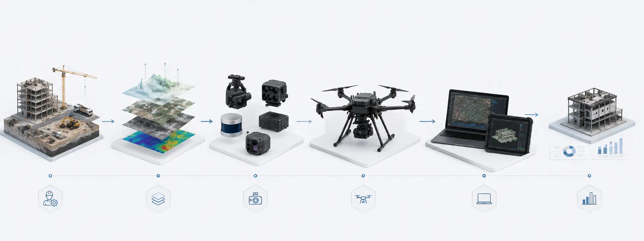
How to Choose an Industrial Drone Solution
Do not begin with a model ranking. Begin with the result the operation must produce, then build the system backward from that requirement.
DEFINE THE TASK
DEFINE THE REQUIRED DATA
SELECT THE PAYLOAD
SELECT THE PLATFORM
BUILD THE WORKFLOW
VALIDATE THE SOLUTION
How to Choose an Industrial Drone Solution
Do not begin with a model ranking. Begin with the result the operation must produce, then build the system backward from that requirement.
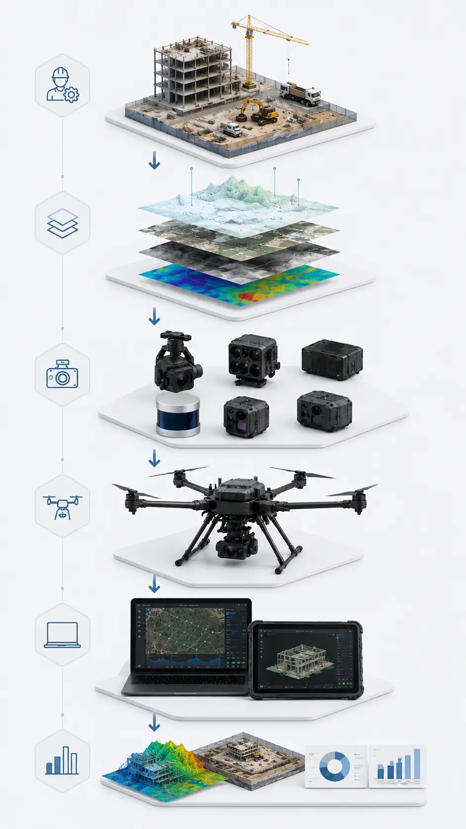
DEFINE THE TASK
DEFINE THE REQUIRED DATA
SELECT THE PAYLOAD
SELECT THE PLATFORM
BUILD THE WORKFLOW
VALIDATE THE SOLUTION
What Is an Industrial Drone?
An industrial drone is a professional unmanned aircraft system configured to produce a defined operational result. The aircraft is only one part of that system. A working configuration also includes a payload, navigation and communication components, mission software, data processing, field procedures, trained personnel, and technical support. The useful output may be an inspection record, a survey dataset, a digital map, a thermal assessment, a three-dimensional model, or another deliverable required by an industrial workflow.
This task-centered design separates an industrial UAV from a typical consumer camera drone. Consumer products are generally optimized for accessible imaging and straightforward operation. Industrial platforms must be evaluated against site conditions, payload interfaces, repeatability, data quality, integration needs, deployment logistics, and the consequences of incomplete or unusable results. A larger or more expensive aircraft is not automatically an industrial solution; the complete workflow must be appropriate for the job.
A System Built Around the Mission
The payload determines what the system can observe or measure. RGB cameras support detailed visual records and mapping. Thermal sensors reveal temperature patterns. LiDAR can capture spatial geometry. Environmental instruments may detect conditions that ordinary imaging cannot. Each payload introduces requirements for mounting, power, balance, vibration control, calibration, storage, and processing. Compatibility therefore has to be assessed at system level instead of inferred from the aircraft alone.
Navigation and communication support controlled, repeatable operation. Depending on the configuration and mission, this may include route planning, positioning support, obstacle awareness, telemetry, payload commands, and procedures for interrupted communications. Software then connects the field mission with the required deliverable by organizing plans, flight records, captured data, processing steps, quality checks, reports, and exports.
From Flight to Business Result
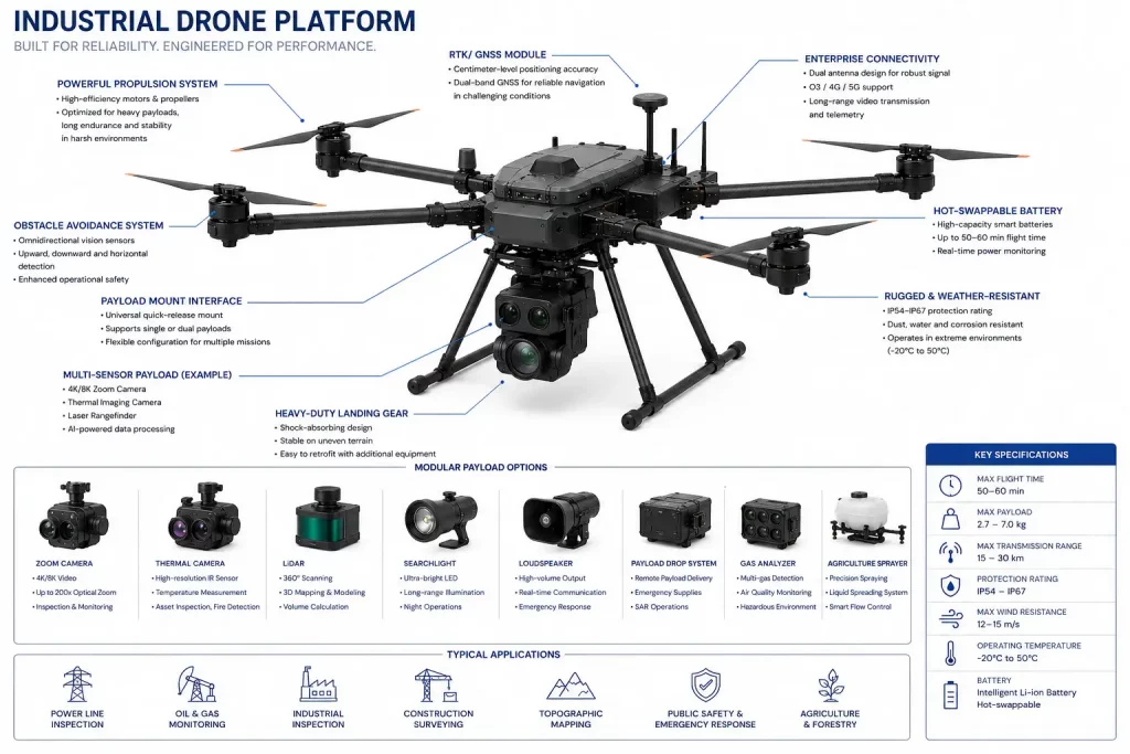
Professional UAV drones create value when they help a team collect suitable data or reach an asset within a controlled process. The result must be usable by engineers, inspectors, surveyors, asset managers, or other responsible personnel. Repeatable procedures, documented configurations, and clear acceptance criteria matter because an attractive image or successful flight does not by itself prove that the required information was captured.
For buyers, the practical question is not simply which industrial drone to purchase. It is which combination of platform, payload, software, crew, and support can produce the required result under representative conditions. Starting with that question creates a sound basis for comparing professional UAV systems without relying on unsupported specifications or generic product rankings.
Industrial, Commercial, and Consumer Drones
The terms consumer, commercial, and industrial describe different product and workflow expectations, but they are not treated here as universal legal categories. Commercial drone is the broadest business-oriented term: it can include photography, inspection, mapping, agriculture, public-safety support, and many other professional uses. Industrial drones occupy a more specialized part of that market, where payload integration, repeatable operations, technical data, and connection to an enterprise workflow become central.
| Criteria | Consumer | Commercial | Industrial |
|---|---|---|---|
| Primary purpose | Personal imaging and accessible flight | Professional or business use | Defined technical or operational outcome |
| Payload | Usually integrated and fixed | Integrated or task-oriented options | Specialized, modular, or engineered integration |
| Environment | General recreational settings | Managed professional sites | Complex industrial and infrastructure sites |
| Precision | Suitable for general imaging | Selected for the business task | Validated against data and workflow requirements |
| Automation | Convenience-oriented features | Mission support where available | Repeatable routes and controlled procedures where configured |
| Integration | Limited external integration | Varies by platform and use | Payload, software, data, and operational integration |
| Typical use | Personal photography and video | Professional imaging and field services | Inspection, measurement, monitoring, and specialized data collection |
| Mission complexity | Low to moderate | Moderate and task-dependent | Higher coordination, documentation, and acceptance requirements |
A commercial UAV may be entirely appropriate for a professional task without requiring a complex industrial configuration. The distinction becomes useful when the mission demands specialized sensors, engineered interfaces, repeatable data, multi-person procedures, enterprise reporting, or support across multiple sites. Buyers should define the required outcome first and then decide how much system integration the work requires.
Related page: Explore Commercial Drones
Frequently Asked Questions
What is an industrial drone?
An industrial drone is a professional unmanned aircraft system configured around a defined task and deliverable. It combines an aircraft, payload, navigation, communications, software, procedures, personnel, and support. The term describes a system approach rather than a single size or airframe. A configuration becomes useful when it can collect suitable data or perform the intended work under representative conditions and produce output that responsible specialists can review.
What is the difference between an industrial drone and a commercial drone?
Commercial drone is a broad term for UAVs used in business or professional activities. Industrial drones are a specialized part of that market, typically selected for more integrated, repeatable, sensor-driven, or technically demanding workflows. These terms are not presented here as universal legal categories. The practical difference is the level of payload integration, data control, field procedure, documentation, support, and connection to an operational result.
What are industrial drones used for?
Common applications include inspection, surveying, mapping, monitoring, specialized data collection, and asset documentation. The same application may be used in energy, construction, mining, infrastructure, renewable energy, industrial facilities, and other sectors. Suitability depends on the asset, environment, required output, payload, software, crew, and operating method. A broad application name should therefore lead to a more specific mission definition before equipment is selected.
What sensors can an industrial UAV carry?
Possible payloads include RGB cameras, thermal sensors, LiDAR, multispectral cameras, environmental instruments, communication equipment, and custom devices. Not every platform supports every payload. Compatibility depends on mass, dimensions, balance, mounting, power, data interfaces, control, vibration, environment, processing, and safe failure behavior. Buyers should evaluate the complete aircraft-payload configuration and confirm the proposed workflow with representative testing.
Can industrial drones operate autonomously?
Some configurations can support automated route execution, repeat missions, payload actions, or other assisted functions. Available capability depends on the aircraft, software, payload, environment, and approved operating method. Automation does not remove the need for mission planning, site control, communications, trained supervision, maintenance, and contingency procedures. Buyers should verify exactly what is automated, what the crew must monitor, and how the system behaves when conditions change.
What data can industrial drones collect?
Depending on the payload, a drone may collect visual imagery, thermal data, spatial measurements, point clouds, multispectral observations, environmental readings, telemetry, and location context. Processing can turn those captures into maps, models, measurements, organized inspection records, or reports. The required business result should define the sensor and method. More data is not automatically better if it cannot be reviewed, trusted, exported, or integrated.
How are industrial drones used for inspection?
An inspection workflow begins with the asset, condition of interest, required viewpoints, and evidence needed by the reviewer. The drone carries a suitable visual, thermal, or spatial sensor along a controlled route while the team manages access, safety boundaries, capture quality, and records. After the flight, specialists organize and review the data. The drone supports evidence collection; it does not automatically make the engineering diagnosis.
What software is used with industrial drones?
The software stack may include mission planning, aircraft and payload control, telemetry, flight records, photogrammetry or point-cloud processing, thermal review, quality control, fleet management, reporting, and enterprise integration. Requirements vary by mission. Buyers should confirm ownership, permissions, export formats, supported coordinate systems, connectivity assumptions, retention, backups, and the process for moving data from the field into the organization’s working systems.
How should a company select an industrial drone system?
Start with the task and required result, then define the data, payload, platform, and complete workflow. Document the site, operating frequency, crew, transport, communications, processing, reporting, maintenance, and support needs. Compare proposed systems as complete configurations rather than by one headline specification. Before purchase, run a representative trial with the intended payload and acceptance criteria that cover both field operation and the final deliverable.
Are industrial drones suitable for repeatable inspections?
They can support repeatable inspections when the route, viewpoints, sensor settings, references, environment, procedures, processing, and quality checks are controlled. Repeatability is a property of the complete workflow, not only an automated flight path. Teams should define what must remain consistent, how differences will be documented, and how results will be compared. Representative trials help determine whether the proposed method is sufficiently repeatable for the intended review.