Agricultural Drones
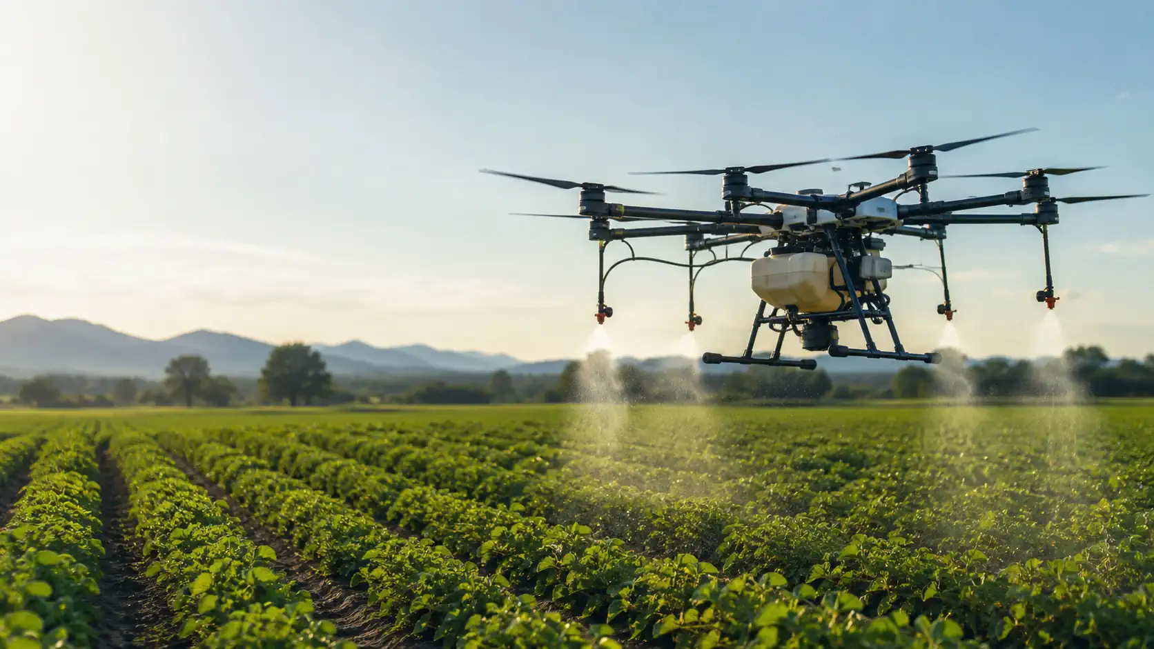
Find a ready-to-deploy agricultural drone system for precision crop spraying, granular fertilizer application, seed spreading, and aerial crop monitoring across commercial farming operations.
Ready-to-Deploy
Verified Specifications
U.S. Support
NDAA Compliant
Select the Right Drone System
Describe what you need the drone system to do, or use our guided selector.
Loading selector...
PRECISION
SPRAYING
SPREADING AND SEEDING
AUTOMATED FIELD MISSIONS
CROP MAPPING AND MONITORING
Agricultural Drones
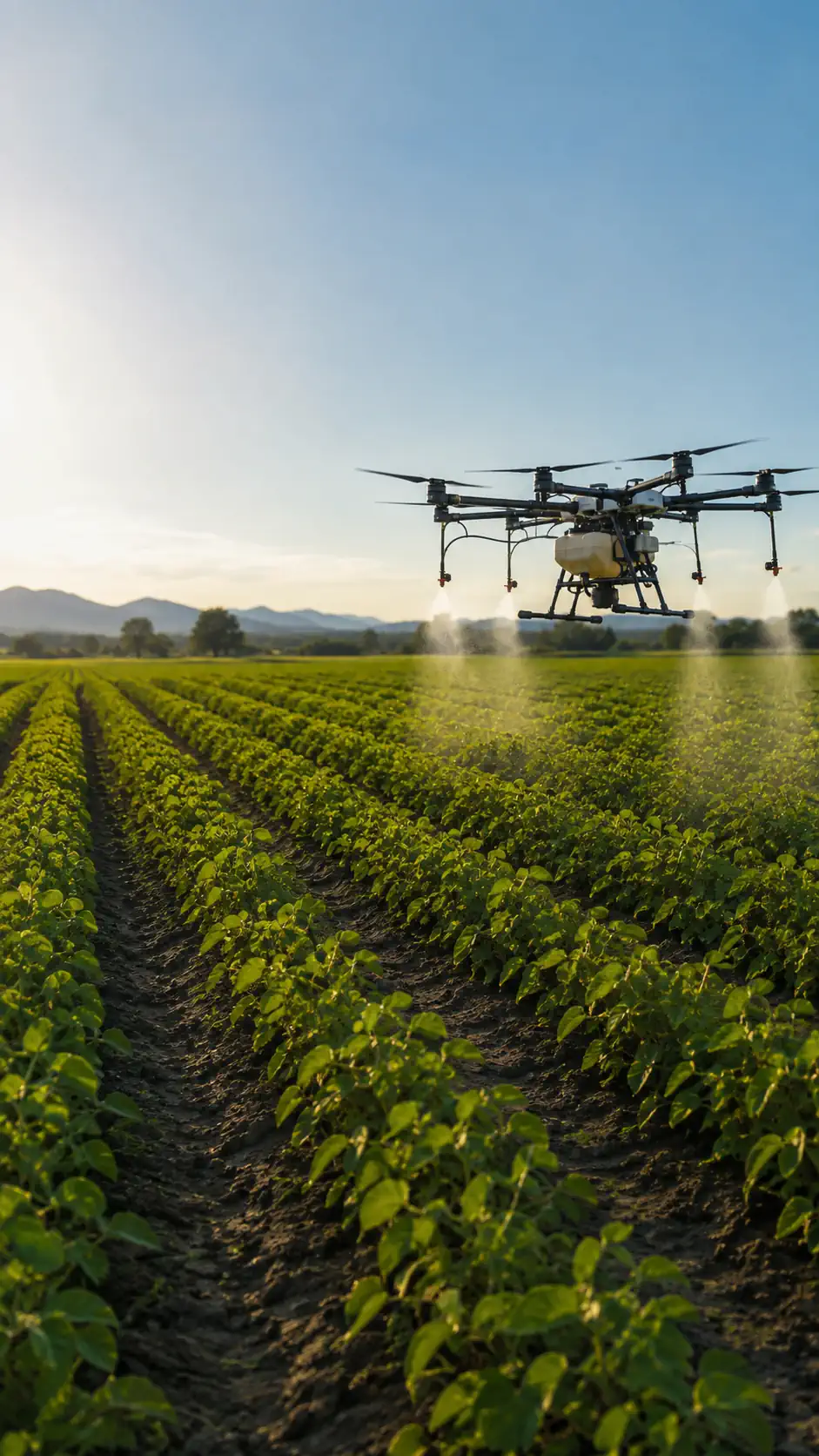
Find a ready-to-deploy agricultural drone system for precision crop spraying, granular fertilizer application, seed spreading, and aerial crop monitoring across commercial farming operations.
Ready-to-Deploy
Verified Specifications
U.S. Support
NDAA Compliant
Select the Right Drone System
Describe what you need the drone system to do, or use our guided selector.
Loading selector...
PRECISION
SPRAYING
SPREADING AND SEEDING
AUTOMATED FIELD MISSIONS
CROP MAPPING AND MONITORING
On this page:
NDAA Solutions
Commercial Solutions
Types of work
Software
FAQ
Overview
NDAA DRONE SOLUTIONS
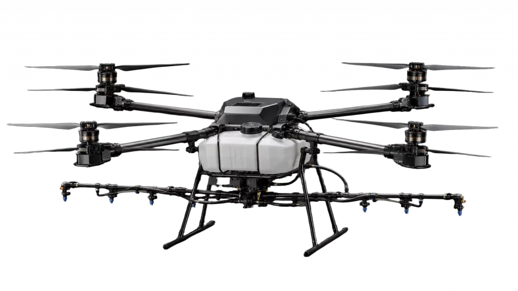
- 30 L Tank Capacity
- 8 L/min Spray Flow Rate
- 22 min Flight Time
From $18,900
View SystemCOMMERCIAL DRONE SOLUTIONS
AGRICULTURAL DRONE SOFTWARE
AGRICULTURAL DRONE SYSTEMS USE COMPATIBLE SOFTWARE TO PLAN FIELD MISSIONS, CONTROL SPRAYING AND SPREADING OPERATIONS, ANALYSE CROP DATA, AND DOCUMENT COMPLETED WORK.INSPECTION RESULTS.
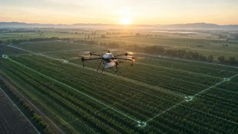
Automated Mission Planning and Autopilot
PLAN FIELD BOUNDARIES, FLIGHT ALTITUDE, ROUTE SPACING, SPEED, AND OPERATING HEIGHT BEFORE TAKEOFF. THE DRONE FOLLOWS THE ASSIGNED ROUTE AUTOMATICALLY, RECORDS MISSION PROGRESS, AND SUPPORTS RETURN-TO-HOME FUNCTIONS.
COMPATIBLE SYSTEMS CAN ALSO MAINTAIN A MORE CONSISTENT HEIGHT ABOVE UNEVEN TERRAIN OR CHANGING CROP LEVELS, HELPING OPERATORS PERFORM REPEATABLE MAPPING, SPRAYING, AND SPREADING MISSIONS.
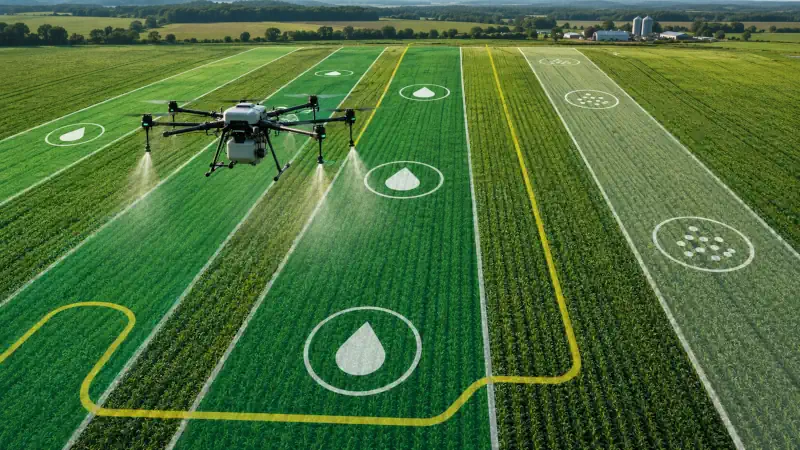
PRECISION SPRAYING, SPREADING, AND SEEDING CONTROL
AGRI-TECH DRONE SOFTWARE MANAGES APPLICATION RATE, ROUTE SPACING, DROPLET DELIVERY, AND FLOW CONTROL DURING CROP SPRAYING. ON COMPATIBLE SYSTEMS, OUTPUT CAN ADJUST AUTOMATICALLY WHEN FLIGHT SPEED CHANGES.
FOR SPREADING AND SEEDING, OPERATORS CAN CONFIGURE THE COVERAGE AREA, FLIGHT ROUTE, SPEED, DISTRIBUTION RATE, AND REQUIRED APPLICATION VOLUME FOR SEED, FERTILIZER, AND OTHER GRANULAR MATERIALS.
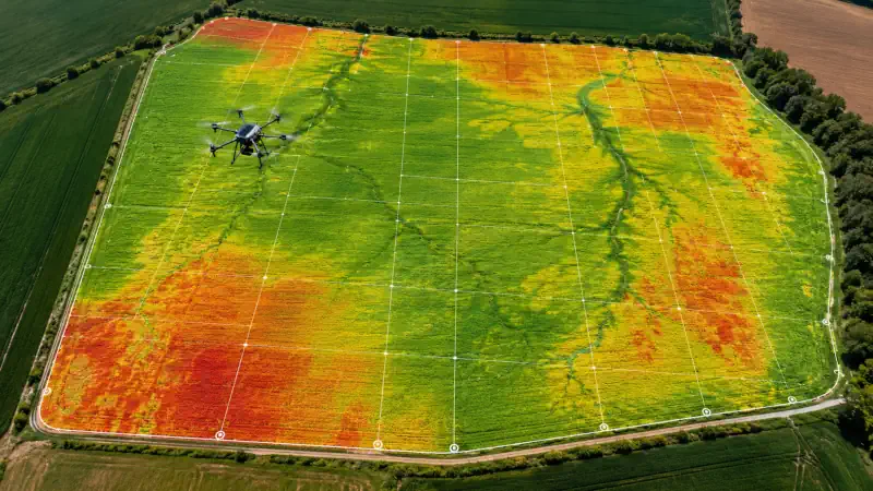
CROP HEALTH ANALYSIS AND FIELD MAPPING
IMAGE-PROCESSING SOFTWARE USES RGB OR MULTISPECTRAL DATA TO IDENTIFY DIFFERENCES IN CROP VIGOR, CANOPY DEVELOPMENT, AND FIELD CONDITIONS. VEGETATION MAPS CAN HIGHLIGHT AREAS THAT REQUIRE CLOSER INSPECTION FOR WEEDS, PESTS, DISEASE, IRRIGATION, OR DRAINAGE ISSUES.
MAPPING SOFTWARE CONVERTS AERIAL IMAGES INTO ORTHOMOSAIC MAPS, ELEVATION MODELS, FIELD MEASUREMENTS, AND GEOREFERENCED RECORDS. THESE OUTPUTS SUPPORT FIELD SCOUTING, OPERATIONAL PLANNING, AND SEASONAL DOCUMENTATION.
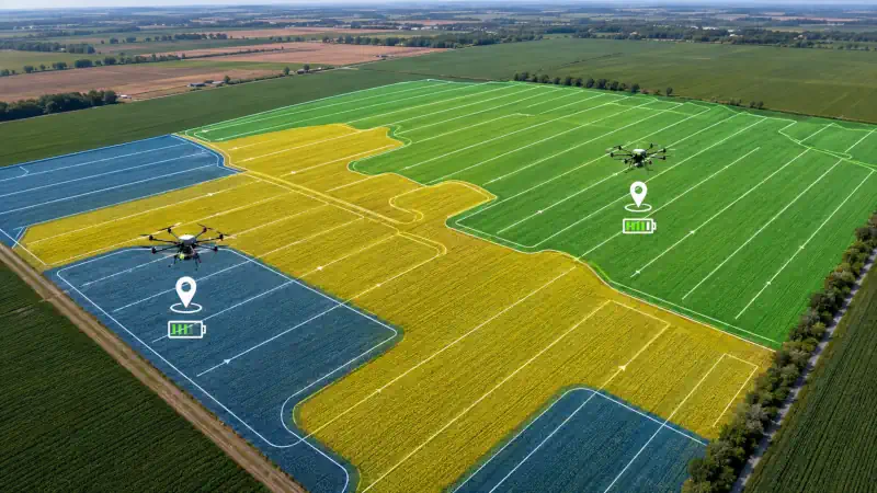
VARIABLE-RATE APPLICATION AND FLEET MANAGEMENT
COMPATIBLE SOFTWARE CAN CONVERT FIELD DATA INTO APPLICATION ZONES FOR TARGETED SPRAYING, SPREADING, OR FERTILIZER TREATMENT. FINAL APPLICATION SETTINGS DEPEND ON THE DRONE, PAYLOAD SYSTEM, DATA QUALITY, AND AGRONOMIC RECOMMENDATIONS.
FLEET-MANAGEMENT PLATFORMS STORE FLIGHT RECORDS, MONITOR EQUIPMENT STATUS, ORGANISE FIELD MISSIONS, AND COORDINATE MULTIPLE AIRCRAFT OR OPERATORS. AVAILABLE FUNCTIONS VARY BY DRONE MANUFACTURER AND SOFTWARE PROVIDER.
WHAT AGRICULTURAL DRONES CAN DO
AN AGRICULTURAL DRONE COMBINES AERIAL ACCESS WITH PRECISION APPLICATION AND FIELD DATA COLLECTION, HELPING FARMING TEAMS SPRAY CROPS, SPREAD SEED OR FERTILIZER, MAP FIELDS, AND IDENTIFY CROP CONDITIONS THAT MAY REQUIRE CLOSER INSPECTION.
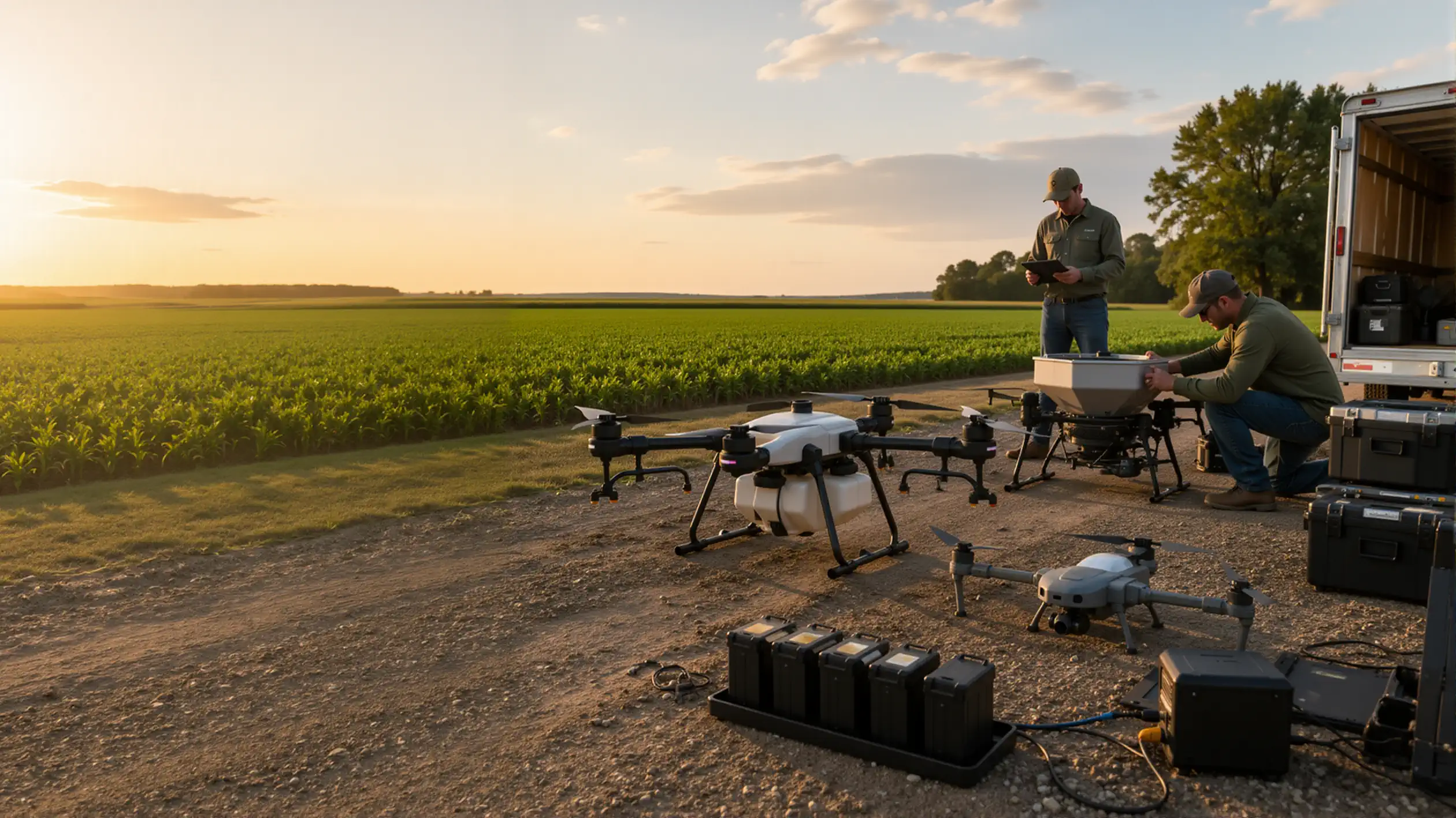
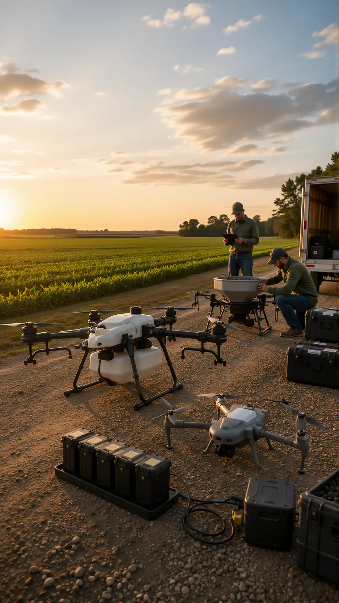
Agricultural Drones for Commercial Farming Operations
Agricultural drones help commercial farming operations cover more hectares with greater precision and far less manual effort. From large arable fields to orchards and uneven terrain, a professional agricultural drone supports repeatable field work, accurate application, and fast data collection where tractors or ground crews may be inefficient.
The real value is not the aircraft alone, but a workflow built around the farm’s task: spraying, spreading, crop monitoring, and mapping. With the right payload, trained operator, and field plan, drone technology helps farms respond faster to changing crop conditions while keeping operations organised and traceable.
Crop Spraying
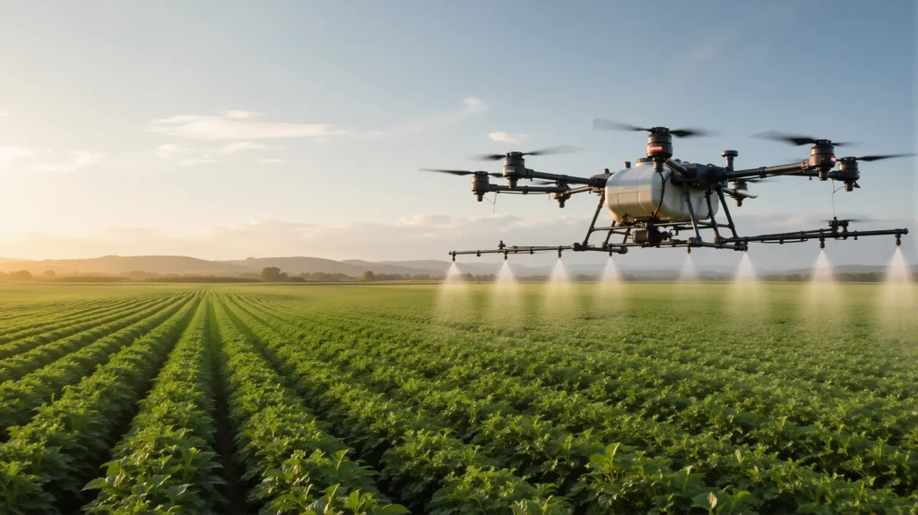
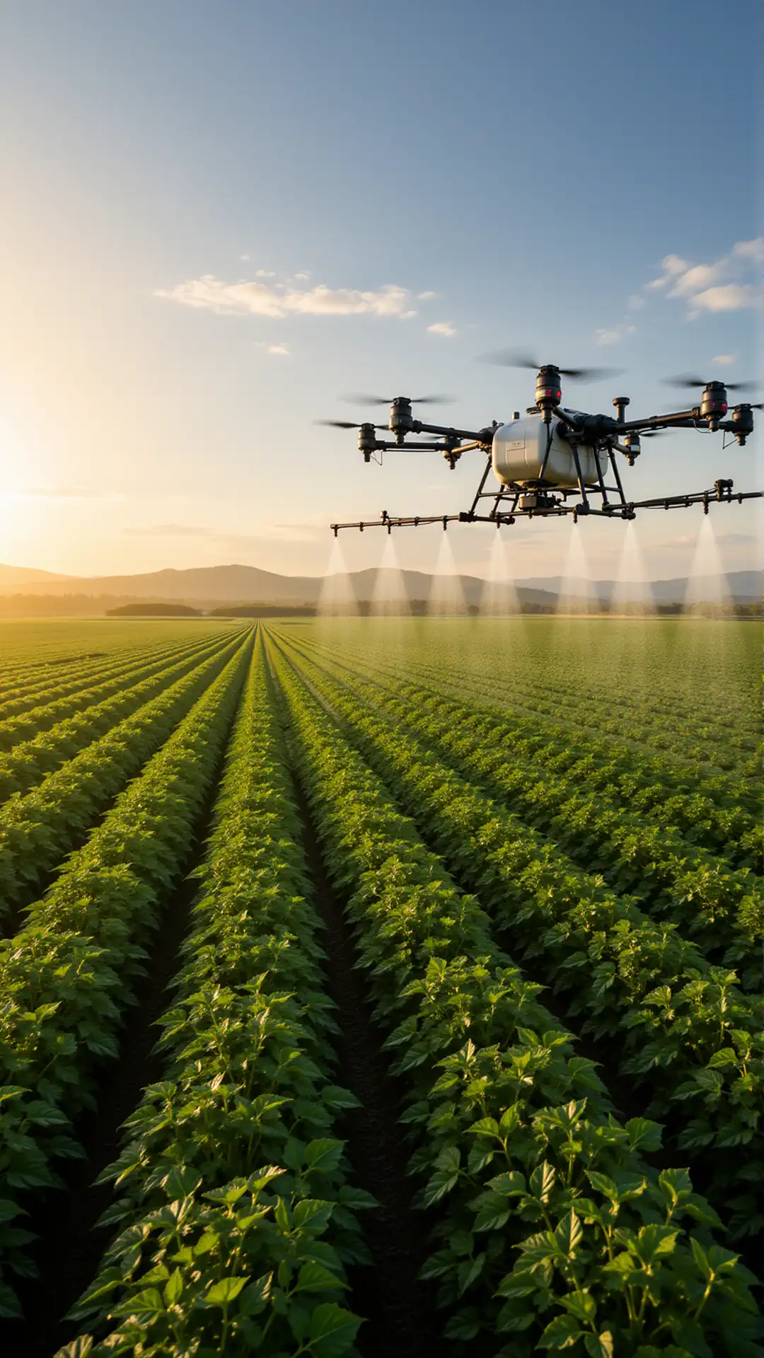
Drone crop spraying enables targeted application of crop-protection products in areas that are difficult, unsafe, or slow to reach with ground equipment. It is especially useful for wet fields, steep slopes, vineyards, orchards, and spot treatment, where avoiding soil compaction and protecting standing crops matters.
A properly planned spraying mission considers the product label, agricultural drone spraying laws, weather, wind, nozzle setup, flight height, and application rate. This makes aerial spraying a controlled agronomic operation rather than simply flying over a field, helping operators achieve consistent application and maintain records of completed work.
Crop Monitoring + Plant Health + Weed/Pest/Disease + Irrigation/Drainage
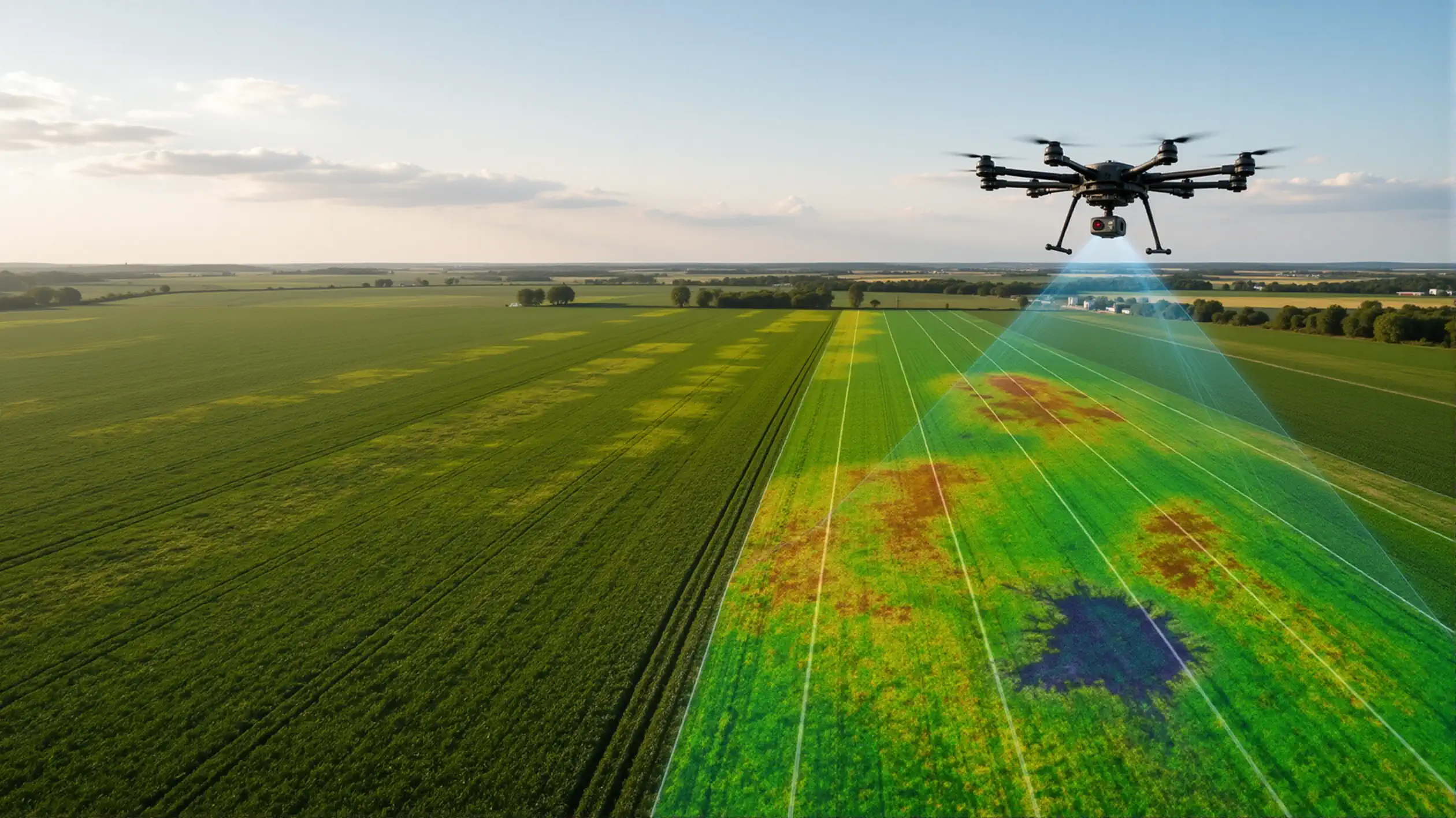
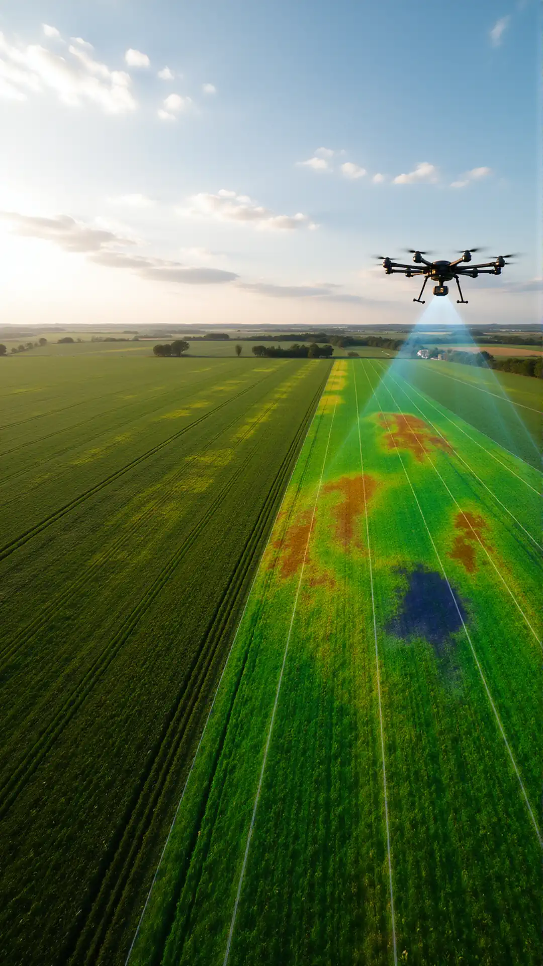
Crop-monitoring drones give growers a faster view of plant health across the whole field. High-resolution RGB and multispectral surveys can reveal uneven emergence, nutrient stress, standing water, damaged crop rows, weed pressure, and other anomalies that are difficult to identify from the field edge.
The imagery is most valuable when it leads to ground verification and action. A drone can help prioritise scouting for weeds, pests, disease symptoms, irrigation failures, or drainage problems; however, final agronomic decisions should be confirmed through field inspection and, where needed, advice from a qualified agronomist.
Crop Monitoring + Plant Health + Weed/Pest/Disease + Irrigation/Drainage
Crop-monitoring drones give growers a faster view of plant health across the whole field. High-resolution RGB and multispectral surveys can reveal uneven emergence, nutrient stress, standing water, damaged crop rows, weed pressure, and other anomalies that are difficult to identify from the field edge.
The imagery is most valuable when it leads to ground verification and action. A drone can help prioritise scouting for weeds, pests, disease symptoms, irrigation failures, or drainage problems; however, final agronomic decisions should be confirmed through field inspection and, where needed, advice from a qualified agronomist.
Automated Mission Planning + Autopilot + Field Mapping
Automated mission planning allows an agricultural drone to fly consistent routes, maintain planned altitude, and collect repeatable data across every part of a field. Operators can define field boundaries, flight lines, overlap, speed, and payload settings before take-off, making mapping and application work more predictable.
Field mapping creates a reliable visual record for scouting, measurements, and operational planning. Combined with autopilot features and accurate positioning, it helps teams compare zones over time, identify areas needing attention, and organise future spraying, spreading, irrigation, or drainage work with clearer field-level information.
Choosing the Right Agricultural Drone + Built Around the Job + Fleet Management
Choosing the right agricultural drone starts with the job: spraying volume, granular payload, required coverage per day, field size, terrain, crops, and local operating rules. A drone that is ideal for crop monitoring may not be suitable for heavy spraying or fertilizer spreading, so the platform, batteries, payload, and support process must be selected as one system.
For larger commercial farming operations, fleet management is equally important. Battery rotation, maintenance schedules, spare parts, operator training, flight logs, and mission records all affect uptime during the season. A well-managed drone fleet is built around reliable daily work—not only technical specifications.
Frequently Asked Questions About Agricultural Drones
What software is used with agricultural drones?
Agricultural drones typically use software for mission planning, autopilot control, spraying or spreading management, field mapping, crop monitoring, and data analysis. Available functions depend on the aircraft, payload, sensors, and software platform.
Can agricultural drones fly automated missions?
Yes. Compatible systems can follow preplanned routes based on field boundaries, altitude, speed, route spacing, and application settings. The operator remains responsible for monitoring the mission and complying with applicable aviation and agricultural regulations.
How does precision spraying software work?
Precision spraying software coordinates the flight route with the spray system. Depending on the equipment, it can manage flow rate, application width, operating height, route spacing, and output adjustments as flight speed changes.
Can the same software control seed and fertilizer spreading?
Compatible spreading platforms can control the distribution of seed, granular fertilizer, and other approved materials. Operators configure the coverage area, flight speed, route spacing, and application rate for the selected product.
Can agricultural drone software detect crop health problems?
Software can process RGB, multispectral, or thermal imagery to identify differences in crop vigor, canopy development, moisture patterns, and field conditions. These results help prioritize scouting but should be verified through field inspection and agronomic analysis.
What maps can agricultural drone software create?
Depending on the sensor and processing platform, agricultural drone software can create orthomosaic maps, vegetation index maps, elevation models, field measurements, and georeferenced inspection records.
Can agricultural drones perform variable-rate applications?
Some compatible systems can use prescription maps or predefined management zones for targeted spraying, spreading, or fertilizer application. Actual capability depends on the drone, payload controller, software integration, and supported file formats.
Can one platform manage multiple agricultural drones?
Some fleet management platforms can organize missions, aircraft, pilots, maintenance records, application logs, and field data from multiple drones. Supported fleet functions vary by manufacturer and software provider.
Agricultural Drones for Commercial Farming Operations
Agricultural drones help farms, agribusinesses, crop consultants, and service providers complete fieldwork faster, reduce unnecessary equipment movement, and collect more consistent data across large production areas. Depending on the configuration, these systems can support crop spraying, seed and fertilizer spreading, field mapping, crop monitoring, stand assessment, irrigation inspection, and targeted scouting.
Our agricultural drone solutions are selected around the actual job, not a generic aircraft specification. Each system is evaluated based on payload capacity, tank size, coverage requirements, crop type, terrain, FAA Part 137 requirements, sensor compatibility, software workflow, and the level of automation required. Operators evaluating agricultural drones over 55 pounds should also account for the applicable operating path. This allows commercial operators to compare practical agriculture UAV configurations for spraying, spreading, imaging, and repeatable field missions.
Drone Systems for Spraying, Spreading, and Crop Monitoring
Farming drones equipped with liquid application systems can apply approved crop protection products, fertilizers, and biological treatments over predefined field areas. Automated routes, application controls, and compatible terrain-following functions help maintain more consistent coverage while reducing crop damage and soil compaction caused by ground equipment.
Spreading systems can distribute seed, granular fertilizer, and other approved materials across fields, pastures, orchards, and difficult terrain. Smaller platforms, including a 10L agriculture drone, may suit localized treatments or lower-volume operations, while larger configurations, such as an agricultural drone 40L system, are designed for higher application capacity. Actual productivity depends on payload, field layout, refill logistics, battery management, and local operating requirements.
For monitoring work, a crop drone equipped with an RGB, multispectral, or thermal agricultural drone camera can capture detailed field imagery. Processing software can turn that data into maps that help identify uneven emergence, crop stress, drainage problems, irrigation inconsistencies, and areas requiring ground inspection. These outputs support decision-making but should be interpreted alongside field observations and qualified agronomic guidance.
Automated Agriculture UAV Workflows
Modern agricultural quadcopter systems can use mission-planning software to define field boundaries, routes, speed, altitude, application width, and operating parameters before takeoff. Compatible autopilot systems then execute repeatable missions while the operator monitors aircraft status, battery levels, application progress, and field conditions.
Agricultural drone surveying workflows can also produce orthomosaic maps, elevation data, field measurements, and georeferenced records. These outputs may be used for seasonal comparisons, crop documentation, drainage planning, acreage calculations, and coordination with farm management or GIS platforms.
Choosing the Right Agricultural Drone
There is no single agri drone configuration that fits every operation. Agriculture drone types vary by payload, tank size, flight time, sensor package, application system, automation features, and intended use. A drone designed for crop imaging is not automatically suitable for spraying, and a high-capacity spraying platform may be inefficient for small, fragmented fields.
When comparing ag drones for sale, commercial buyers should consider more than aircraft price. The complete system may include batteries, chargers, pumps, nozzles, spreading equipment, cameras, positioning hardware, software licenses, training, spare parts, and technical support. Compatibility with approved inputs, operating regulations, maintenance procedures, and local service capabilities should also be reviewed before deployment.
Agricultural Drone Systems Built Around the Job
We help B2B customers evaluate agricultural drones for sale based on real operating requirements. The selection process can include field size, required application volume, crop structure, terrain, desired coverage rate, sensor needs, software compatibility, transport requirements, and operator workflow.
The result is a ready-to-deploy UAV drone agriculture solution configured for the intended work, whether the priority is spraying, spreading, crop monitoring, mapping, or a combination of agricultural applications. This reduces the risk of purchasing an aircraft that lacks the required payload, software integration, field capacity, or support infrastructure for commercial use.