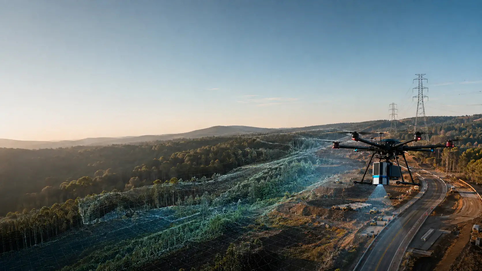
LiDAR Drones
Find a ready-to-deploy LiDAR drone system built for accurate 3D mapping, terrain modeling, surveying, and data collection in complex environments.
Ready-to-Deploy
Verified Specifications
U.S. Support
NDAA & Commercial Options
Select the Right Drone System
Describe what you need the drone system to do, or use our guided selector.
Loading selector...
3D POINT
CLOUDS
CORRIDOR MAPPING
TERRAIN MODELING
GROUND SURFACE RECOVERY
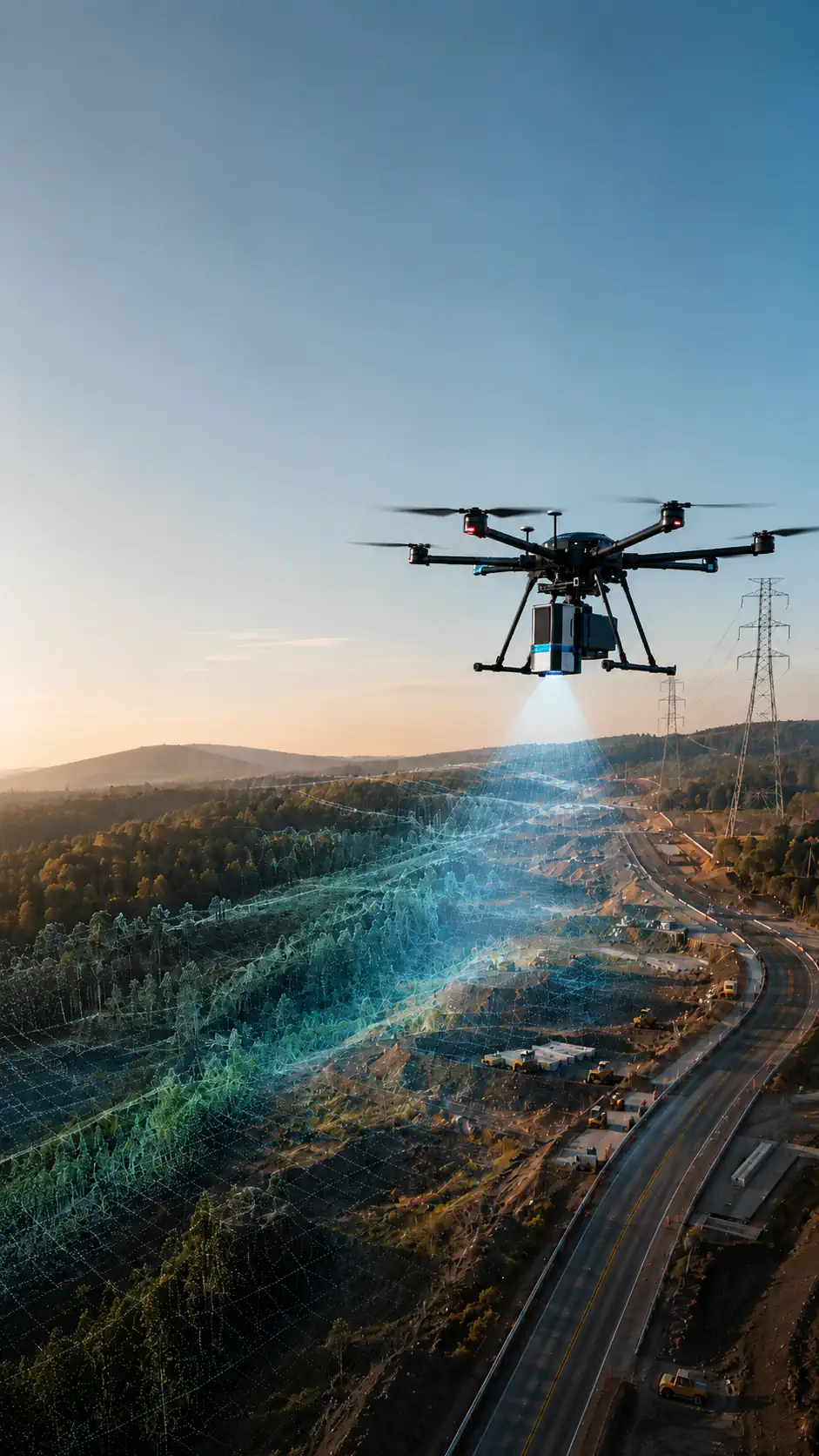
LiDAR Drones
Find a ready-to-deploy LiDAR drone system built for accurate 3D mapping, terrain modeling, surveying, and data collection in complex environments.
Ready-to-Deploy
Verified Specifications
U.S. Support
NDAA Compliant
Select the Right Drone System
Describe what you need the drone system to do, or use our guided selector.
Loading selector...
3D POINT
CLOUDS
CORRIDOR MAPPING
TERRAIN MODELING
GROUND SURFACE RECOVERY
On this page:
NDAA Solutions
Commercial Solutions
Types of work
Software
FAQ
Overview
NDAA DRONE SOLUTIONS
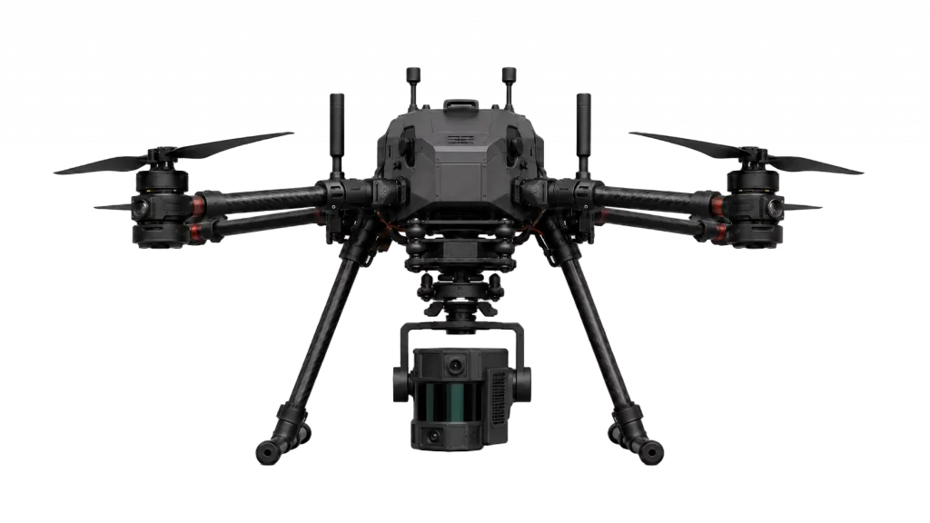 ✓ VERIFIED SOLUTION
- 42 minFlight Time
- 9.3 miOperating Range
- 48 MPRGB Resolution
- 2 cmLiDAR Accuracy
- 20×Optical Zoom
- 250 mLiDAR Range
From $59,900
View SystemCOMMERCIAL DRONE SOLUTIONS
✓ VERIFIED SOLUTION
Kinetic Analytics
PMpro-2b LiDAR Mapping System
- 42 minFlight Time
- 9.3 miOperating Range
- 48 MPRGB Resolution
- 2 cmLiDAR Accuracy
- 20×Optical Zoom
- 250 mLiDAR Range
From $29,900
View SystemDRONE LIDAR SOFTWARE FOR MAPPING, SURVEYING, AND DATA ANALYSIS
COLLECTING LIDAR DATA IS ONLY THE FIRST STEP. PROFESSIONAL DRONE LIDAR SOFTWARE TURNS RAW POINT CLOUDS INTO SURVEY-READY TERRAIN MODELS, MEASUREMENTS, MAPS, AND ENGINEERING FILES. PROCESS EACH FLIGHT EFFICIENTLY, VERIFY DATA QUALITY, AND DELIVER RESULTS YOUR TEAM CAN USE IN CAD, GIS, BIM, AND ASSET MANAGEMENT WORKFLOWS.
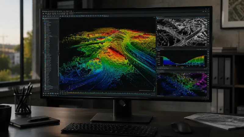
POINT CLOUD PROCESSING
CONVERT RAW UAV LIDAR DATA INTO CLEAN, ORGANIZED POINT CLOUDS READY FOR ANALYSIS. PROCESSING SOFTWARE ALIGNS FLIGHT DATA, REMOVES NOISE, CLASSIFIES GROUND AND NON-GROUND POINTS, AND SEPARATES BUILDINGS, VEGETATION, UTILITIES, AND OTHER SITE FEATURES. THE RESULT IS AN ACCURATE DATASET FOR LIDAR MAPPING, LAND SURVEYING, INFRASTRUCTURE INSPECTION, AND ENGINEERING DELIVERABLES.
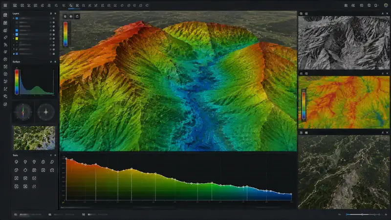
TERRAIN AND ELEVATION MODELING
TRANSFORM CLASSIFIED POINT CLOUDS INTO DIGITAL TERRAIN MODELS, DIGITAL SURFACE MODELS, CONTOUR LINES, ELEVATION MAPS, SLOPE MAPS, AND CROSS SECTIONS. THESE OUTPUTS HELP SURVEYORS AND ENGINEERS EVALUATE SITE CONDITIONS, ANALYZE DRAINAGE AND GRADING, MAP TERRAIN BENEATH VEGETATION, AND PREPARE RELIABLE DATA FOR DESIGN, CONSTRUCTION, AND ENVIRONMENTAL PLANNING.
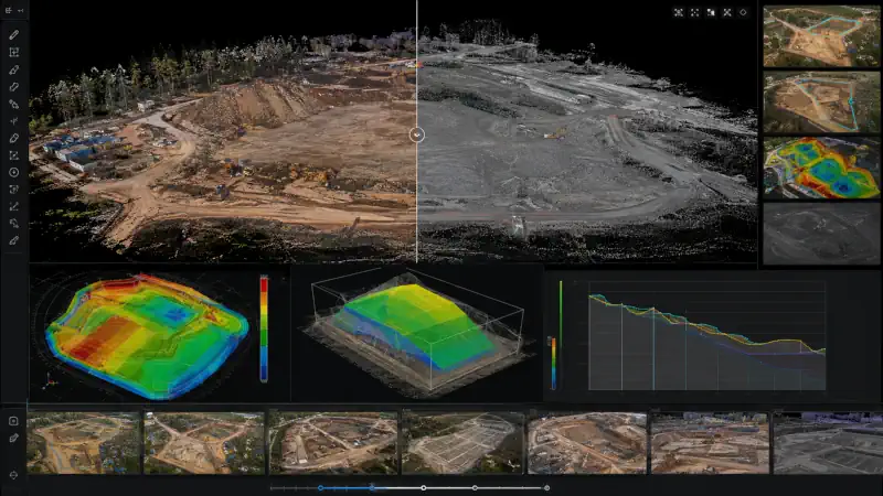
MEASUREMENT AND CHANGE ANALYSIS
MEASURE DISTANCES, ELEVATIONS, AREAS, CLEARANCES, STOCKPILE VOLUMES, AND CUT-AND-FILL QUANTITIES DIRECTLY FROM DRONE LIDAR SURVEYS. COMPARE DATASETS COLLECTED ON DIFFERENT DATES TO MONITOR CONSTRUCTION PROGRESS, TRACK EXCAVATION, IDENTIFY TERRAIN CHANGES, VERIFY COMPLETED WORK, AND DOCUMENT SITE CONDITIONS WITH MEASURABLE DATA.
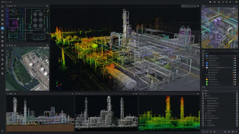
CAD, GIS, AND BIM INTEGRATION
MOVE PROCESSED LIDAR DATA INTO THE PLATFORMS YOUR TEAM ALREADY USES. EXPORT POINT CLOUDS, TERRAIN SURFACES, CONTOURS, ORTHOGRAPHIC VIEWS, AND 3D MODELS IN INDUSTRY-STANDARD FORMATS FOR CAD, GIS, AND BIM WORKFLOWS. GIVE DESIGNERS, SURVEYORS, CONTRACTORS, AND ASSET MANAGERS A CONSISTENT SOURCE OF FIELD DATA FROM INITIAL PLANNING THROUGH FINAL DOCUMENTATION.
WHAT LiDAR DRONES CAN DO
A LiDAR DRONE COMBINES AERIAL ACCESS WITH HIGH-DENSITY 3D DATA COLLECTION, HELPING SURVEYING AND MAPPING TEAMS CAPTURE TERRAIN, CORRIDORS, VEGETATION, INFRASTRUCTURE, STOCKPILES, AND OTHER COMPLEX SITES WITH ACCURATE GEOREFERENCED POINT-CLOUD DATA.
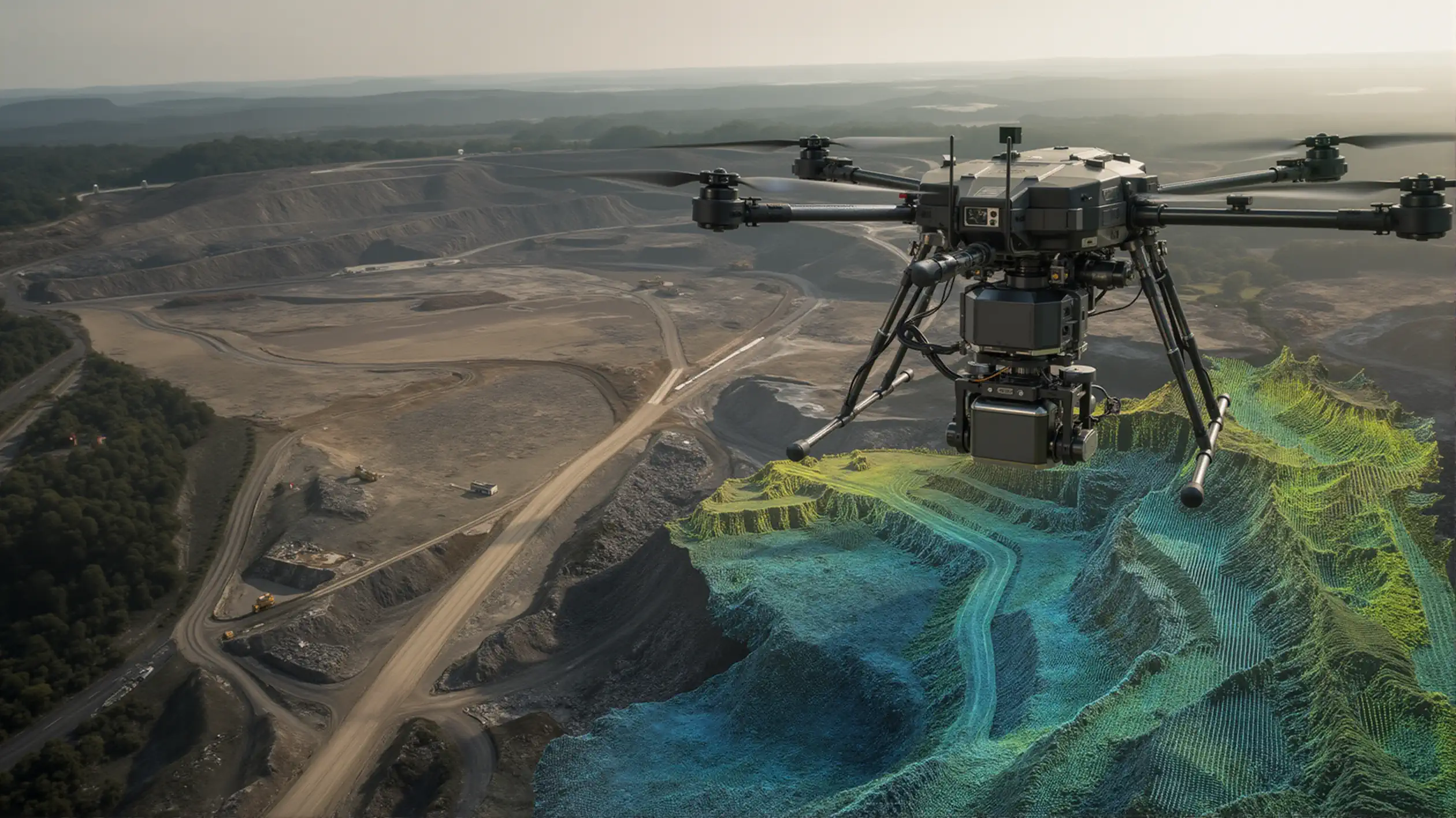
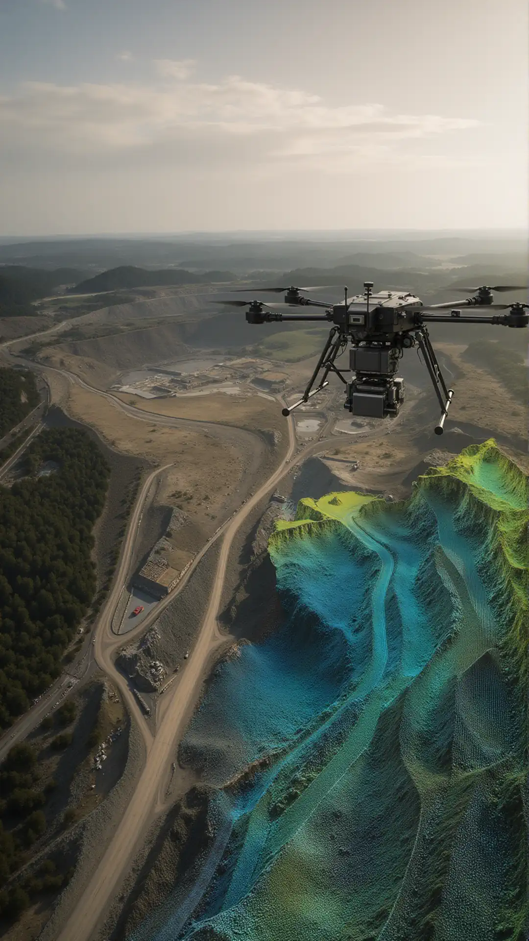
LiDAR Mapping Drones
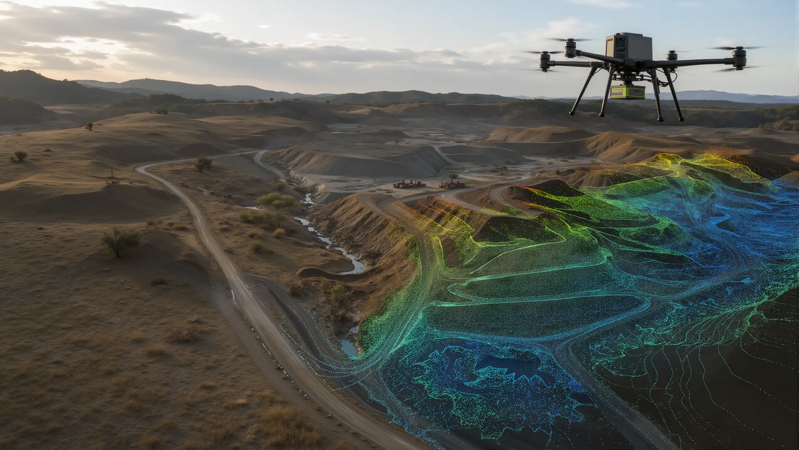
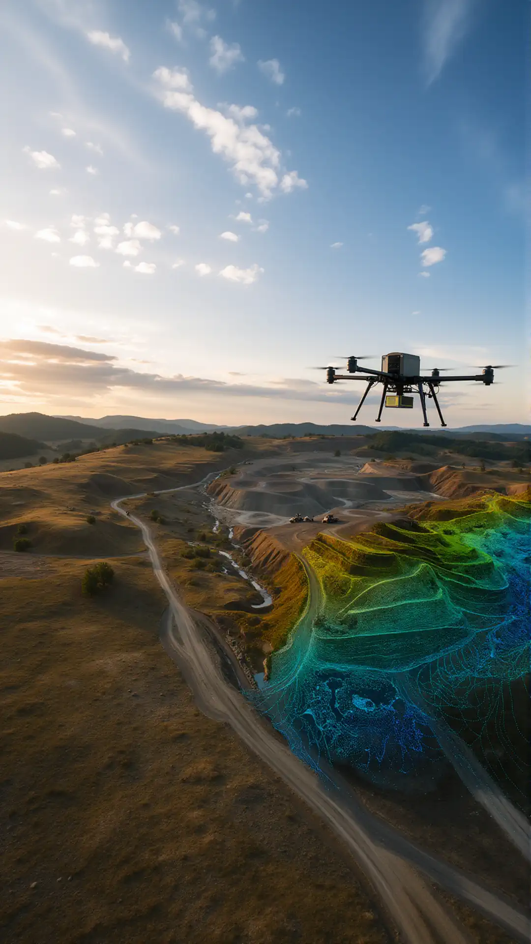
LiDAR mapping drones capture dense, georeferenced point clouds for creating 3D maps, digital surface models, digital terrain models, contours, and elevation datasets. Drone LiDAR scanning is well suited to large, complex, or vegetation-covered sites where accurate terrain data is required for engineering, planning, and GIS workflows.
LiDAR Survey Drones
LiDAR survey drones collect precise site data for topographic surveys, existing-condition documentation, boundary planning, earthwork analysis, and engineering design. A UAV LiDAR system can survey difficult terrain efficiently while producing repeatable datasets for CAD, GIS, and project-management applications.
Corridor and Infrastructure Mapping
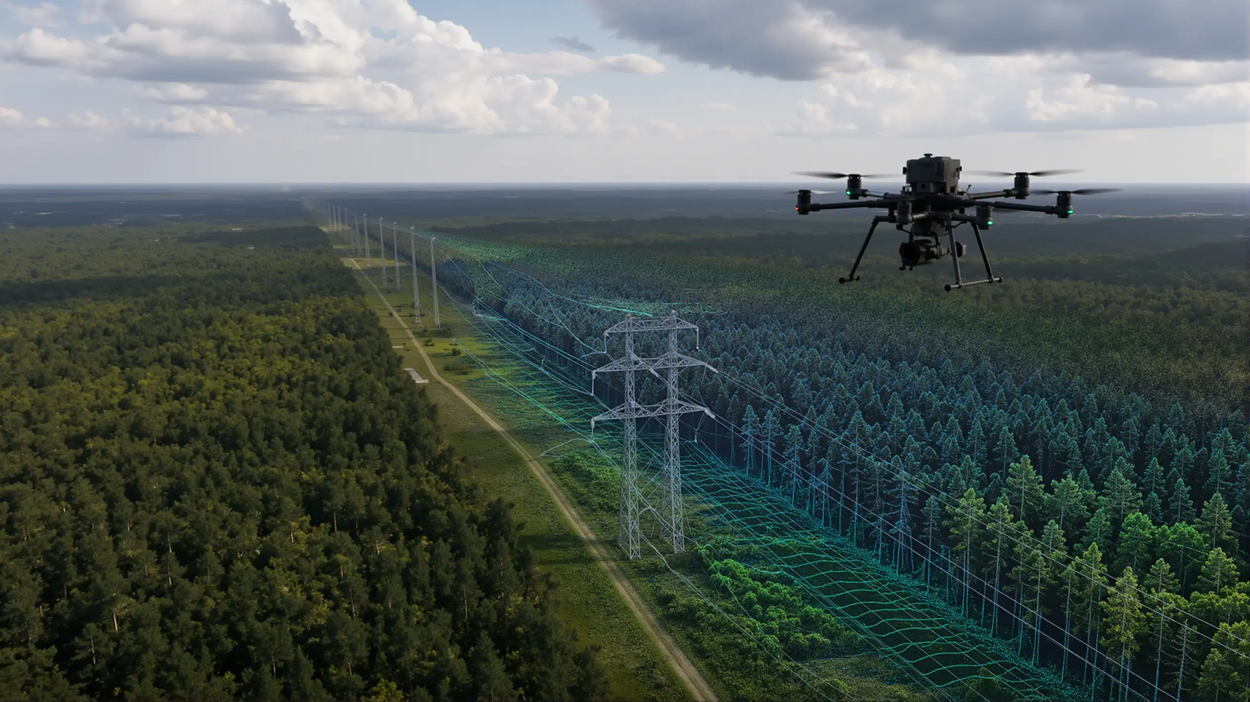
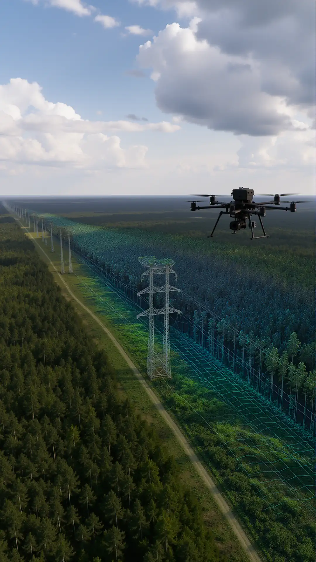
An aerial LiDAR drone can map roads, railways, pipelines, transmission lines, and utility corridors with consistent detail across long distances. A drone with a LiDAR scanner helps engineering and infrastructure teams document terrain, clearances, surrounding vegetation, and nearby assets for design, inspection, and maintenance planning.
Forestry and Vegetation Analysis
A LiDAR sensor for drone platforms can capture ground elevation beneath tree canopies while measuring vegetation height, density, structure, and coverage. UAV LiDAR data supports forest inventory, biomass estimation, vegetation management, wildfire planning, habitat assessment, and utility right-of-way monitoring.
Construction and Volumetric Measurement
LiDAR scanning drones provide measurable 3D data for construction progress tracking, cut-and-fill calculations, stockpile measurement, excavation monitoring, and as-built documentation. Repeat flights allow contractors to compare site conditions over time, verify completed work, and identify differences between field data and design models.
Digital Twins and 3D Asset Modeling
A drone LiDAR scanner can capture buildings, industrial facilities, mines, bridges, and other complex assets for detailed 3D modeling and digital twin development. These models support dimensional analysis, retrofit planning, asset management, structural documentation, and inspection of areas that are difficult or unsafe to access from the ground.
Frequently Asked Questions About LiDAR Drones
What is a LiDAR drone?
A LiDAR drone is an unmanned aircraft equipped with a laser scanning sensor, positioning equipment, and an onboard data-recording system. It measures the distance between the sensor and surrounding surfaces to generate georeferenced 3D point-cloud data.
What are LiDAR drones used for?
LiDAR drones are used for land surveying, topographic mapping, construction monitoring, corridor mapping, forestry analysis, utility inspection, mining measurements, infrastructure documentation, and 3D asset modeling. The appropriate system depends on the required accuracy, terrain, vegetation, flight conditions, and project size.
How does drone LiDAR work?
A LiDAR sensor sends rapid laser pulses toward the ground and surrounding objects. The system measures how long each pulse takes to return and combines those measurements with GNSS and inertial data to calculate the position of millions of points in three-dimensional space.
Can LiDAR drones map terrain beneath vegetation?
LiDAR can record multiple returns from a single laser pulse, allowing some measurements to pass through gaps in vegetation and reach the ground. Processing software can then classify vegetation and ground points to create a terrain model, although performance depends on canopy density, sensor specifications, flight altitude, and scanning conditions.
How accurate are LiDAR drones?
Accuracy varies by LiDAR sensor, GNSS and IMU quality, flight altitude, calibration, control method, processing workflow, and site conditions. Survey-grade results generally require proper mission planning, accurate positioning, system calibration, and independent quality-control measurements.
What data can a LiDAR drone produce?
A LiDAR drone can produce classified point clouds, digital terrain models, digital surface models, elevation contours, cross-sections, volume calculations, canopy measurements, corridor models, and georeferenced 3D representations of land and infrastructure.
What is the difference between LiDAR and photogrammetry drones?
LiDAR measures surfaces directly using laser pulses, while photogrammetry reconstructs three-dimensional geometry from overlapping photographs. LiDAR is often preferred for vegetation penetration, complex terrain, and low-texture surfaces, while photogrammetry can provide detailed color imagery and textured 3D models. Some projects use both technologies together.
Do LiDAR drones require ground control points?
Ground control requirements depend on the positioning system, accuracy target, survey standard, and processing workflow. RTK- or PPK-enabled systems may reduce the number of control points required, but independent checkpoints are still commonly used to verify the accuracy of the final dataset.
What software is used to process drone LiDAR data?
LiDAR processing software is used for trajectory correction, point-cloud generation, strip alignment, noise removal, point classification, coordinate conversion, terrain modeling, measurements, and export into CAD, GIS, BIM, or engineering platforms. Software compatibility should be confirmed before selecting the drone and sensor package.
How do I choose the right LiDAR drone system?
Start with the required accuracy, point density, coverage area, terrain, vegetation, deliverables, operating altitude, payload weight, and preferred processing workflow. The aircraft, LiDAR sensor, GNSS and IMU system, batteries, software, and technical support should be evaluated as one complete solution.
LiDAR Drones for Surveying, Mapping, and 3D Data Collection
LiDAR drones combine an unmanned aircraft, a laser scanner, precision positioning equipment, and specialized processing software into one aerial data collection system. They are used to capture detailed three-dimensional information across construction sites, forests, utility corridors, mines, industrial facilities, roads, and complex terrain where traditional ground surveying may be slow, costly, or difficult to perform.
A properly configured UAV LiDAR system can collect millions of accurately positioned measurements during a single flight. These measurements are processed into point clouds, terrain models, surface models, contours, cross-sections, volume calculations, and other engineering deliverables. The value of drones and LiDAR is not only faster data collection. The system also allows teams to document large or inaccessible areas while reducing time spent working near traffic, unstable ground, steep slopes, heavy equipment, or active infrastructure.
How LiDAR on a Drone Works
A LiDAR scanner drone sends rapid laser pulses toward the ground, vegetation, buildings, and other surfaces. The sensor measures how long each pulse takes to return and combines that information with GNSS and inertial measurement data. The result is a georeferenced three-dimensional point cloud representing the scanned area.
Unlike standard aerial imagery, LiDAR on a drone does not depend entirely on visible surface texture. Multiple laser returns can capture the tops of vegetation, branches, understory, and portions of the ground beneath canopy gaps. This makes drone LiDAR scanning particularly useful for terrain mapping in wooded areas, corridor surveys, forestry analysis, drainage studies, and projects where ground elevation must be separated from vegetation or structures.
The term “drone with LiDAR camera” is commonly used, but LiDAR is technically a laser-based sensor rather than a conventional camera. Some systems combine a drone LiDAR scanner with an RGB camera so that the point cloud can be colorized and supported by high-resolution aerial imagery.
Applications for Drone LiDAR Scanning
Drones for LiDAR can support a wide range of commercial, engineering, and geospatial workflows. The correct aircraft and sensor configuration depends on the environment, required accuracy, point density, coverage area, and final deliverables.
Land Surveying and Topographic Mapping
An aerial LiDAR drone can collect elevation data across open land, uneven terrain, wooded property, and development sites. Survey teams can use the resulting point cloud to create digital terrain models, contours, breaklines, profiles, and supporting data for planning and design. Survey-grade work still requires appropriate control, calibration, verification, and professional oversight.
Construction and Earthwork Measurement
A LiDAR scanning drone can document site conditions, excavation areas, embankments, stockpiles, drainage features, and partially completed structures. Repeat flights allow project teams to compare datasets, calculate volumes, review progress, and identify changes across the site.
Utility and Transportation Corridors
Drone LiDAR can be used to map power line corridors, roads, railways, pipelines, rights-of-way, and surrounding vegetation. A suitable drone with LiDAR scanner can capture conductors, poles, terrain, structures, and encroaching vegetation in the same dataset, depending on sensor performance and operating conditions.
Forestry and Vegetation Analysis
LiDAR data can be classified into ground, low vegetation, canopy, and other return categories. Forestry teams can use these datasets to evaluate terrain, tree height, canopy structure, vegetation density, and access conditions. Results depend heavily on canopy density, flight altitude, scan angle, point density, and season.
Mining, Quarrying, and Stockpile Surveys
Mining and aggregate operations can use drone LiDAR scanning for pit mapping, haul road documentation, stockpile measurements, slope analysis, and terrain monitoring. The technology can reduce the need for personnel to enter hazardous or active operating areas solely for routine measurements.
Industrial Facilities and 3D Asset Modeling
A drone LiDAR scanner can capture complex industrial structures, tanks, roofs, pipe racks, towers, and exterior equipment. The resulting point cloud may be used for existing-condition documentation, dimensional review, digital twin workflows, CAD reference data, and project planning. Dense or obstructed facilities may require multiple flight paths or a combination of aerial and terrestrial scanning.
LiDAR Sensors for Drones
Selecting a LiDAR sensor for drone integration requires more than comparing scanner range. The aircraft, scanner, GNSS receiver, IMU, vibration isolation, payload capacity, power supply, flight controller, and processing software must operate as a coordinated system.
A lightweight LiDAR camera for drone platforms may be suitable for smaller sites and lower-altitude missions, while more advanced systems may offer longer range, higher pulse rates, multiple returns, greater point density, or improved positioning performance. A heavier sensor is not automatically more accurate, and a higher published range does not guarantee better project results.
Important selection factors include:
- Required horizontal and vertical accuracy
- Expected point density and ground point coverage
- Vegetation density and terrain complexity
- Maximum operating altitude and flight speed
- Sensor weight and aircraft payload capacity
- GNSS, RTK, PPK, and IMU performance
- Flight endurance with the complete payload installed
- Supported coordinate systems and export formats
- Point-cloud processing and classification workflow
- Calibration, training, maintenance, and technical support
LiDAR Drones Compared with Photogrammetry
LiDAR and photogrammetry are both used for aerial mapping, but they collect data differently. Photogrammetry creates 3D geometry from overlapping photographs. LiDAR directly measures distance using laser pulses.
Photogrammetry can be effective for orthomosaic imagery, textured models, visible site documentation, and open terrain with clear surface detail. UAV LiDAR is often better suited to vegetation, low-texture surfaces, complex elevation changes, narrow structures, and projects that require direct three-dimensional measurements.
The best drone LiDAR system is not necessarily a replacement for photogrammetry. Many professional workflows combine LiDAR data with RGB imagery to produce a more complete record of the site.
Accuracy and Data Quality
The accuracy of a drone lidar scanner depends on the complete workflow. Published sensor specifications describe only part of the system’s potential performance. Final accuracy can also be affected by GNSS conditions, IMU quality, flight altitude, speed, scan angle, vibration, calibration, trajectory processing, control points, checkpoints, and point-cloud alignment.
For professional mapping or engineering work, the system should be tested against independently measured checkpoints. Operators should also confirm the required coordinate reference system, vertical datum, classification standard, deliverable format, and acceptance criteria before collecting data.
Choosing a LiDAR Drone for Sale
Organizations looking for a LiDAR drone for sale should begin with the project requirements rather than choosing the aircraft or scanner independently. A low-cost platform may be suitable for basic terrain capture but may not meet the accuracy, range, endurance, or reliability requirements of corridor mapping, dense vegetation, or engineering-grade surveys.
Before you buy a LiDAR drone, define the following:
- Primary applications and typical site conditions
- Required accuracy and deliverable standards
- Average and maximum project area
- Terrain, vegetation, and obstacle conditions
- Required flight duration and operating range
- Preferred RTK or PPK workflow
- Point-cloud processing capabilities
- Operator training and technical support requirements
- Replacement parts, maintenance, and calibration process
- Applicable aviation and operational compliance requirements
When comparing LiDAR drones for sale, evaluate the aircraft, sensor, positioning system, software, batteries, base station, accessories, training, and support as one complete package. A technically compatible collection of components is not always a field-ready system.
Ready-to-Deploy Drone LiDAR Systems
We help commercial operators compare drones for LiDAR based on the actual job rather than isolated specifications. The recommended configuration may include the aircraft, LiDAR payload, GNSS equipment, batteries, ground station, mission-planning software, data-processing workflow, and required support.
Whether the project involves surveying, forestry, construction, utilities, mining, corridor mapping, or industrial asset modeling, the goal is to match the system to the required data quality, operating environment, and daily production needs. A correctly selected LiDAR scanner drone should deliver usable project data—not simply complete a flight.