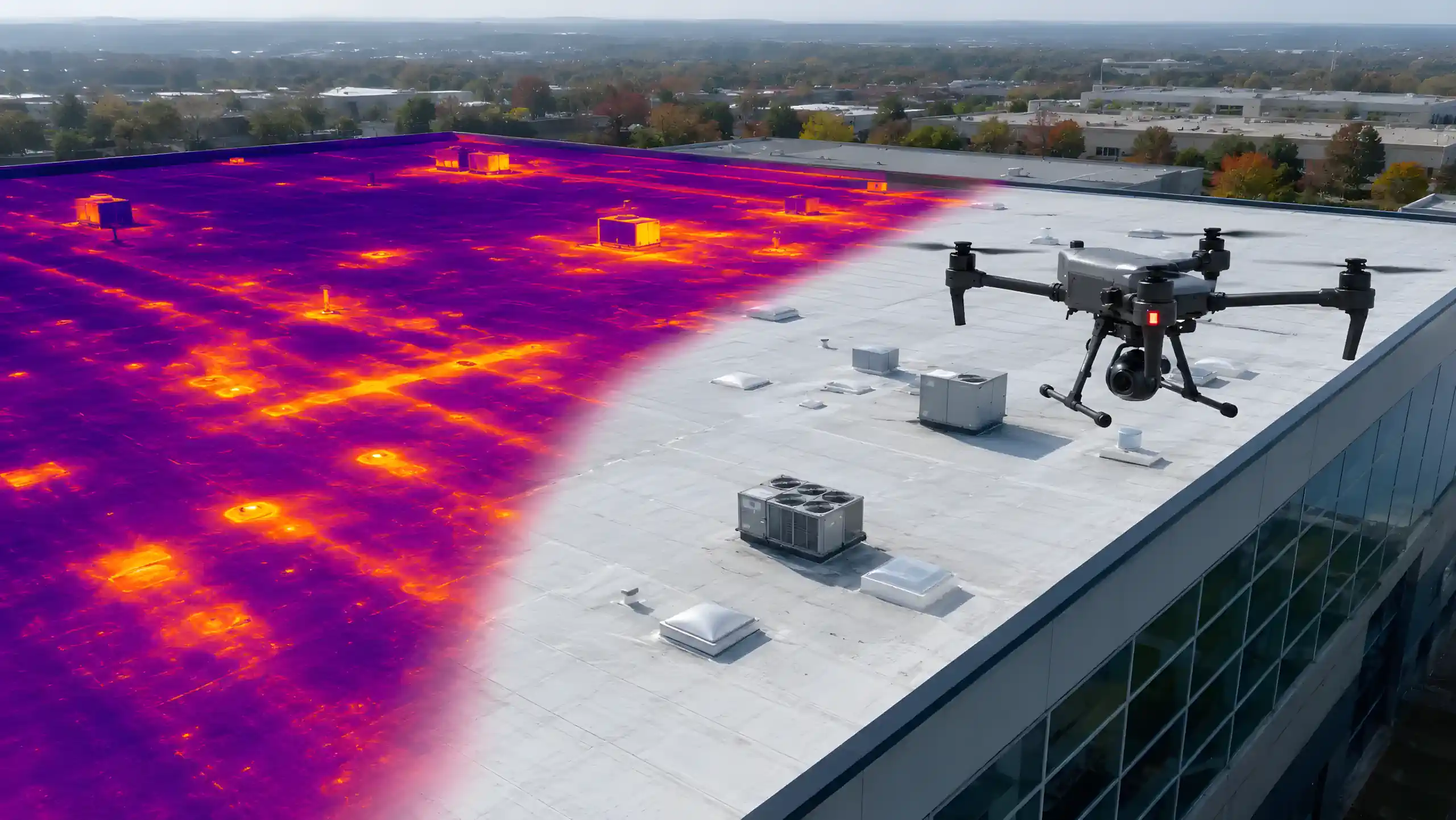
Thermal Drones for Professional Use
Professional thermal drone systems for roof, solar, utility, building and industrial inspections. Compare commercial and NDAA-compliant configurations built around the work you need to perform.
Ready-to-Deploy
Verified Specifications
U.S. Support
NDAA & Commercial Options
Select the Right Drone System
Describe what you need the drone system to do, or use our guided selector.
Loading selector...
Use AI-assisted selection, a guided questionnaire, or technical filters.
THERMAL
INSPECTIONS
HEAT ANOMALY DETECTIONTRACKING
TEMPERATURE MEASUREMENTSINSPECTIONS
HEAT LOSS DETECTIONMEASUREMENTS
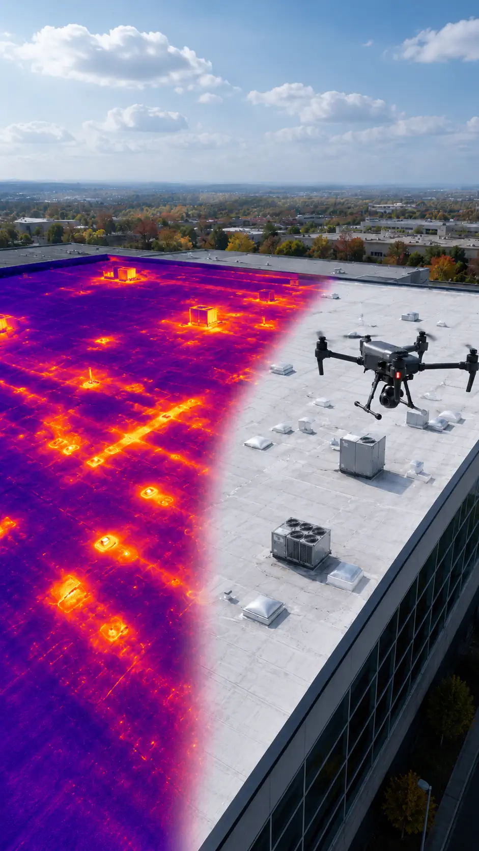
Thermal Drones for Professional Use
Professional thermal drone systems for roof, solar, utility, building and industrial inspections. Compare commercial and NDAA-compliant configurations built around the work you need to perform.
Ready-to-Deploy
Verified Specifications
U.S. Support
NDAA & Commercial Options
Select the Right Drone System
Describe what you need the drone system to do, or use our guided selector.
Loading selector...
THERMAL
INSPECTIONS
HEAT ANOMALY DETECTIONTRACKING
TEMPERATURE MEASUREMENTSINSPECTIONS
HEAT LOSS DETECTIONMEASUREMENTS
On this page:
NDAA Solutions
Commercial Solutions
Types of work
Software
Overview
FAQ
NDAA-COMPLIANT THERMAL DRONE SYSTEMS
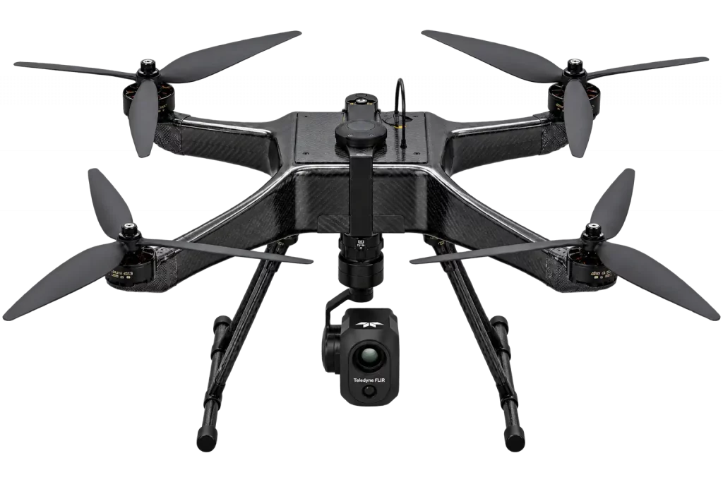 ✓ VERIFIED SOLUTION
- 35 minFlight Time
- 6 miOperating Range
- 64 MPRGB Resolution
- 640 × 512Thermal Resolution
- YesRadiometric
From $26,490
View System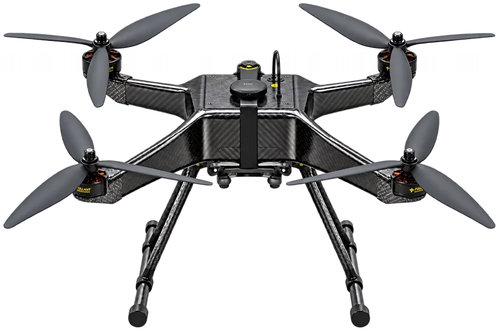
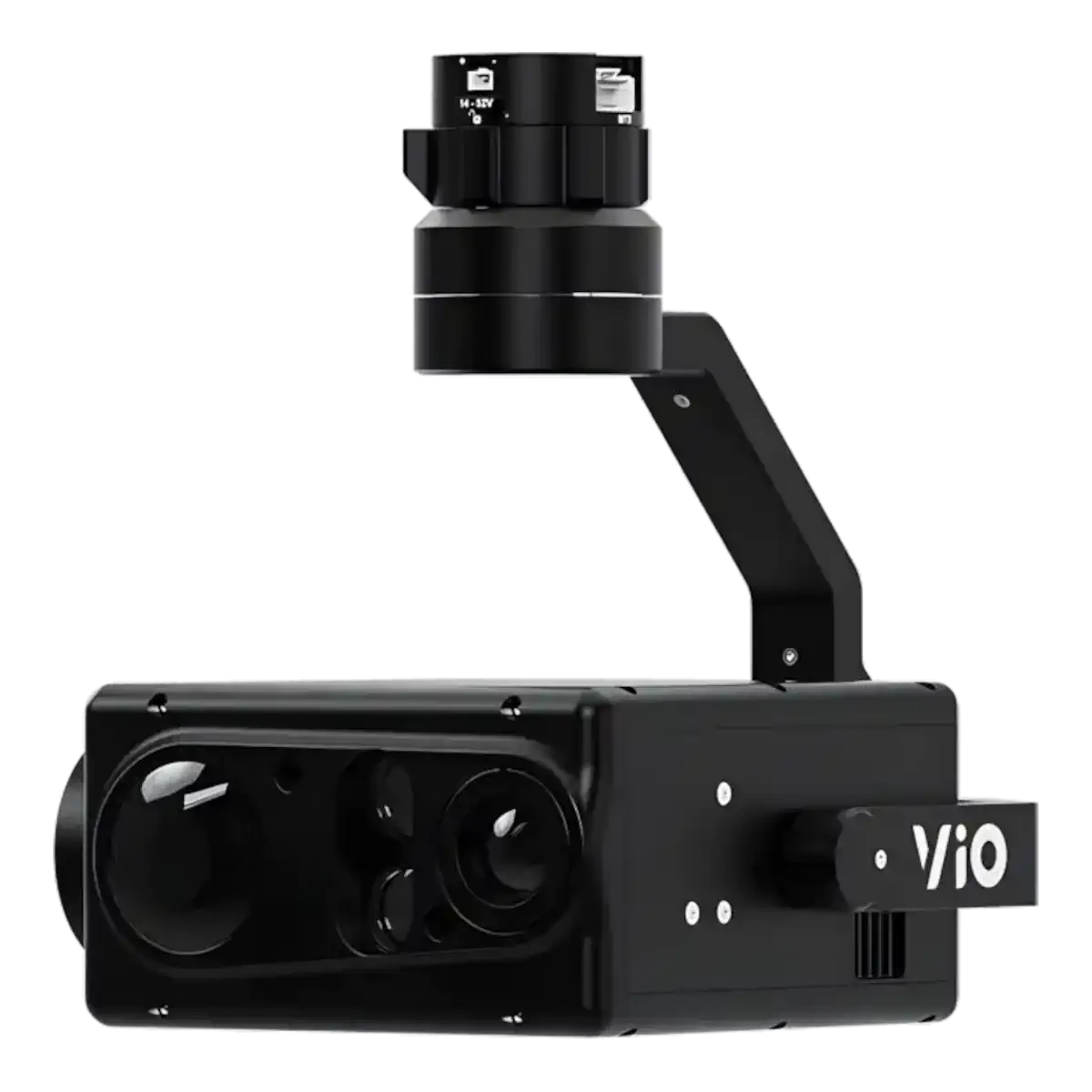
- 35 minFlight Time
- 3.5 miOperating Range
- 8.51 MP still; 3840x2160 4K videoRGB Resolution
- 20×Optical Zoom
- 640 × 512Thermal Resolution
- YesRadiometric
From $33,599
View SystemCOMMERCIAL THERMAL DRONE SYSTEMS
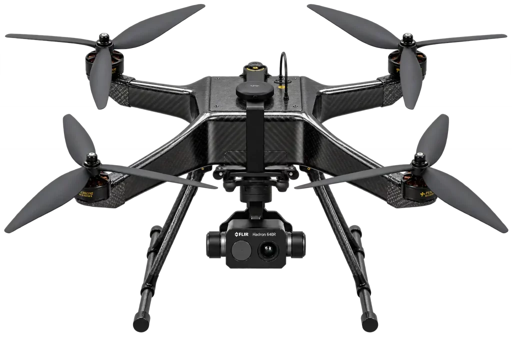 ✓ VERIFIED SOLUTION
Kinetic Analytics
Raven Thermal Inspection System
- 35 minFlight Time
- 6 miOperating Range
- 8 MPRGB Resolution
- 640 × 512Thermal Resolution
- YesRadiometric
From $8,490
View SystemKinetic Analytics
Raven UAV Platform
- 35 minFlight Time
- 3.5 miOperating Range
- 8.51 MP still; 3840x2160 4K videoRGB Resolution
- 20×Optical Zoom
- 640 × 512Thermal Resolution
- YesRadiometric
From $18,599
View SystemChoosing a Thermal Imaging Drone System
Start with the inspection task, required data, and operating conditions rather than a specific drone model.
1. DEFINE THE INSPECTION TASK
Define what you need to inspect: roofs, solar arrays, electrical assets, buildings, pipelines, or industrial equipment.
2. DEFINE THE REQUIRED RESULT
Determine whether you need anomaly detection, temperature data, visual documentation, measurements, or a combination of outputs.
3. DEFINE THE OPERATING CONDITIONS
Consider inspection distance, site size, wind exposure, access restrictions, and required operating range.
4. CONFIRM COMPLIANCE REQUIREMENTS
Determine whether the project requires an NDAA-compliant system or whether a commercial configuration is acceptable.
5. MATCH THE DRONE SYSTEM
Compare systems by payload capability, flight time, operating range, wind performance, and compatibility with the required inspection payload.
6. CONFIRM THE COMPLETE CONFIGURATION
Confirm the payload, batteries, charger, controller, software, accessories, training, and support required for deployment.
7. COMPARE COMPLETE SYSTEMS
Compare ready-to-deploy systems by capability, total configuration, compliance, support, and price rather than one specification.
Commercial Thermal Drone Systems
Commercial thermal drone systems are designed for professional inspection work where NDAA compliance is not required.
They can combine thermal imaging, RGB cameras, interchangeable payloads, inspection software, and accessories in a complete configuration.
The right system depends on the inspection task, operating conditions, required data, and budget.
NDAA-Compliant Thermal Drone Systems
NDAA-compliant thermal drone systems are intended for projects where procurement or organizational requirements restrict the use of certain platforms or components.
These systems should be evaluated as complete configurations, including the aircraft, payload, controller, communications, software, and supporting equipment.
Compliance should be confirmed for the specific configuration rather than assumed from one component.
Infra Red Drone Camera Resolution
An infra red drone must provide enough detector resolution for the target being inspected.
Thermal resolution determines how many infrared detector pixels are available to represent the scene.
More pixels can provide more useful detail, but resolution alone does not determine whether the camera can identify the required feature.
The final result also depends on:
- target size;
- inspection distance;
- lens field of view;
- viewing angle;
- focus;
- atmospheric conditions;
- thermal contrast;
- surface properties.
A thermal sensor that can detect a large hot object from a long distance may still be unable to resolve a small electrical component or localized defect from that same distance.
The camera must therefore be selected around the smallest target that needs to be identified.
Ready-to-Deploy Thermal Imaging Drone Systems
A professional thermal imaging drone system should provide a compatible combination of aircraft, imaging payload, controller, software, and supporting hardware.
A complete configuration may include:
- aircraft platform;
- thermal or EO/IR payload;
- RGB imaging where required;
- stabilized gimbal;
- controller or ground station;
- batteries;
- charger;
- payload mounting hardware;
- camera control;
- compatible software;
- setup and testing;
- documentation;
- training and support.
Compare complete systems by inspection capability, aircraft performance, payload compatibility, compliance requirements, included equipment, software, support, and total configuration price.ct, the distance from which the target must be inspected, required thermal and RGB detail, radiometric capability, aircraft performance, and complete system price.
Start with the inspection task, required data, and operating conditions. The aircraft, payload, software, and supporting equipment should be selected as one complete system.
What type of inspection will the system perform?
Different applications require different payloads, aircraft capabilities, and data workflows.
System matched to the inspection task
Working across large sites or longer inspection routes?
Flight time, operating range, batteries, and mission efficiency become more important.
Aircraft performance matched to the job
Need thermal and detailed visual documentation?
The aircraft must support the required thermal and RGB payload combination.
Compatible thermal + RGB system
Need to use the same aircraft for different types of work?
A fixed payload can limit future inspection configurations.
Modular payload platform
Is NDAA compliance required?
Procurement requirements may exclude some Commercial configurations.
Verified NDAA configuration
Select the Right Drone System
Describe what you need the drone system to do, or use our guided selector.
Loading selector...
Use AI-assisted selection, a guided questionnaire, or technical filters.
Thermal Drone Software and Data Workflow
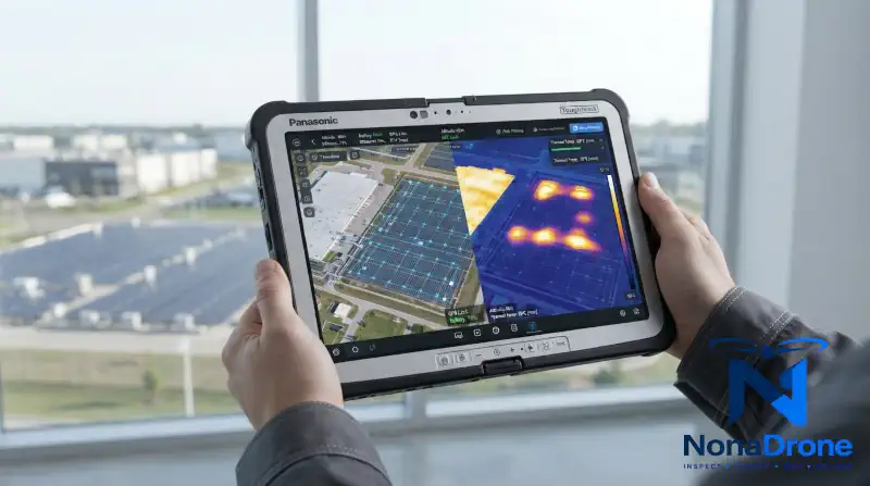
THERMAL IMAGING DRONE SYSTEMS USE COMPATIBLE SOFTWARE TO CONTROL FLIGHTS, VIEW THERMAL DATA, IDENTIFY TEMPERATURE DIFFERENCES, AND DOCUMENT INSPECTION RESULTS.
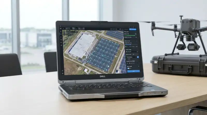
FLIGHT PLANNING
PLAN MANUAL OR AUTOMATED FLIGHT ROUTES, SET INSPECTION AREAS, AND MAINTAIN CONSISTENT COVERAGE ACROSS ROOFS, SOLAR ARRAYS, UTILITY CORRIDORS, AND INDUSTRIAL SITES.
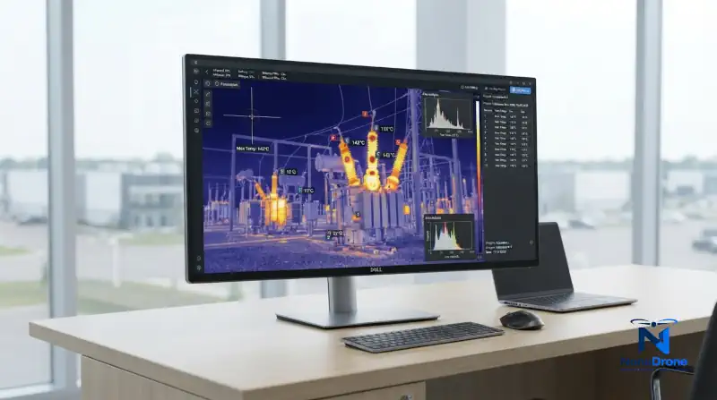
LIVE THERMAL VIEWING
VIEW THERMAL IMAGERY DURING FLIGHT TO LOCATE UNUSUAL HEAT PATTERNS, OVERHEATED COMPONENTS, INSULATION GAPS, AND AREAS THAT REQUIRE CLOSER INSPECTION.
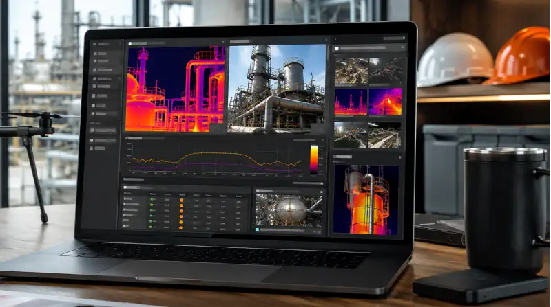
THERMAL DATA ANALYSIS
REVIEW CAPTURED IMAGES, COMPARE TEMPERATURE ZONES, MARK POTENTIAL PROBLEMS, AND ANALYZE RADIOMETRIC TEMPERATURE DATA WHEN SUPPORTED BY THE CAMERA.
INSPECTION REPORTS
ORGANIZE THERMAL AND VISIBLE IMAGES, ADD ANNOTATIONS, DOCUMENT FINDINGS, AND CREATE REPORTS FOR CLIENTS, MAINTENANCE TEAMS, OR FURTHER TECHNICAL ANALYSIS.
WHAT THERMAL IMAGING DRONES CAN DO
A thermal drone combines aerial access with heat detection, helping inspection teams locate temperature differences that may indicate equipment faults, heat loss, moisture, damaged components, or other problems that are difficult to see with a standard camera.
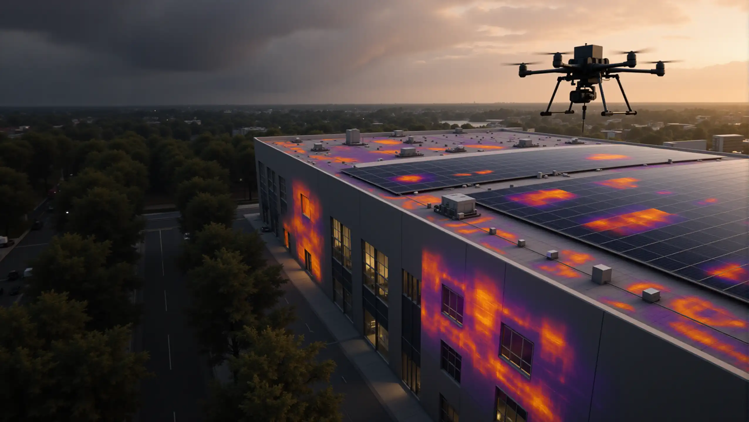
ROOF INSPECTIONS
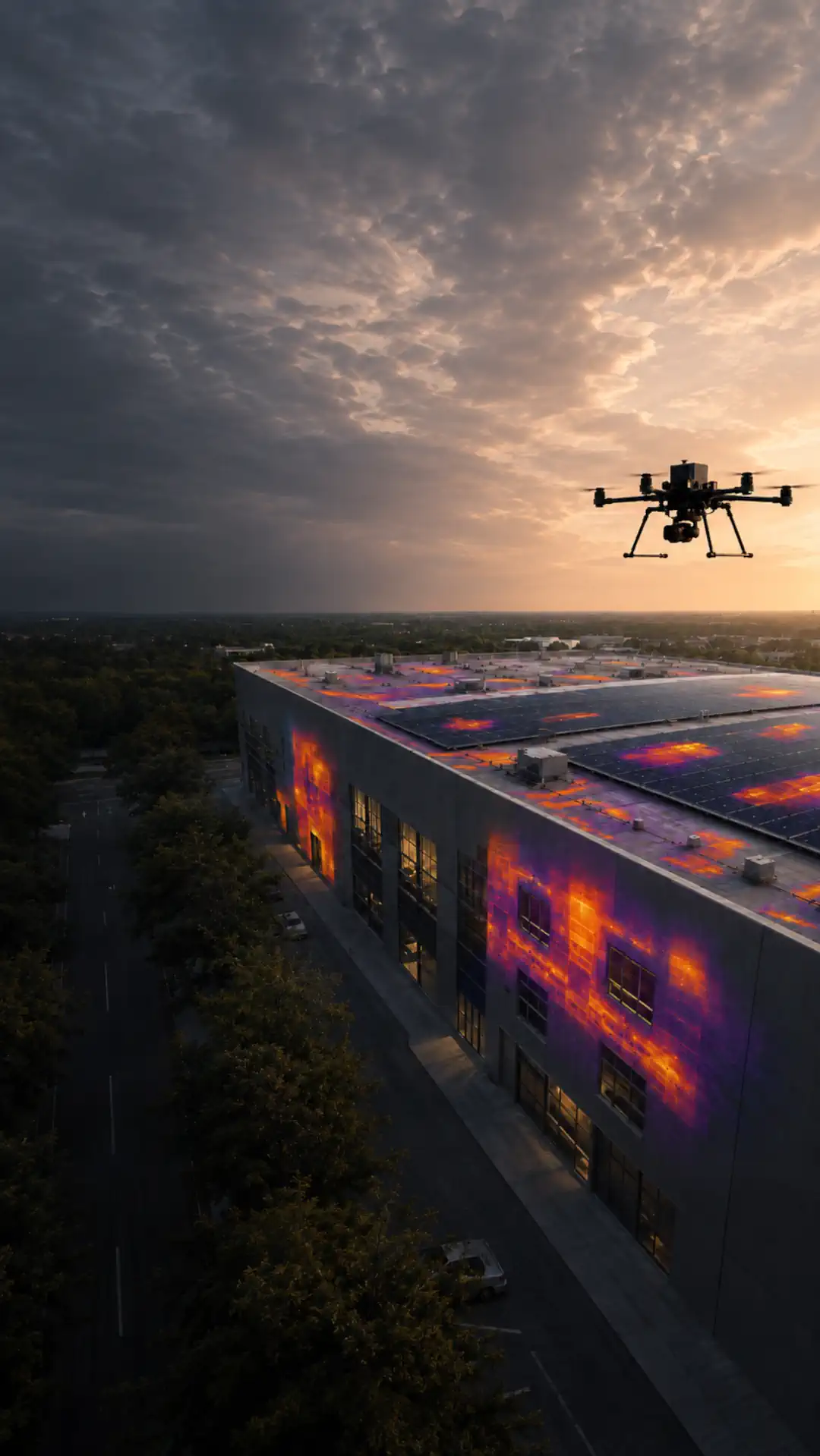
Thermal roof inspection drones can scan commercial and residential roofs for temperature differences associated with trapped moisture, wet insulation, missing insulation, and areas of heat loss.
They help inspectors cover large roof surfaces faster and identify locations that may require direct testing or closer visual inspection.
SOLAR PANEL INSPECTIONS
A drone for thermal imaging can inspect rooftop solar systems and utility-scale solar farms for hotspots, defective cells, disconnected strings, damaged modules, and uneven panel performance.
Aerial thermal inspection allows large arrays to be reviewed without checking every panel manually from the ground.
BUILDING HEAT-LOSS INSPECTIONS
Thermal vision drones can inspect exterior walls, roofs, windows, and building envelopes for heat loss, missing insulation, air leakage, and uneven thermal performance.
This is useful for commercial buildings, warehouses, industrial facilities, and other structures that are difficult to inspect from the ground.
POWER LINE AND ELECTRICAL INSPECTIONS
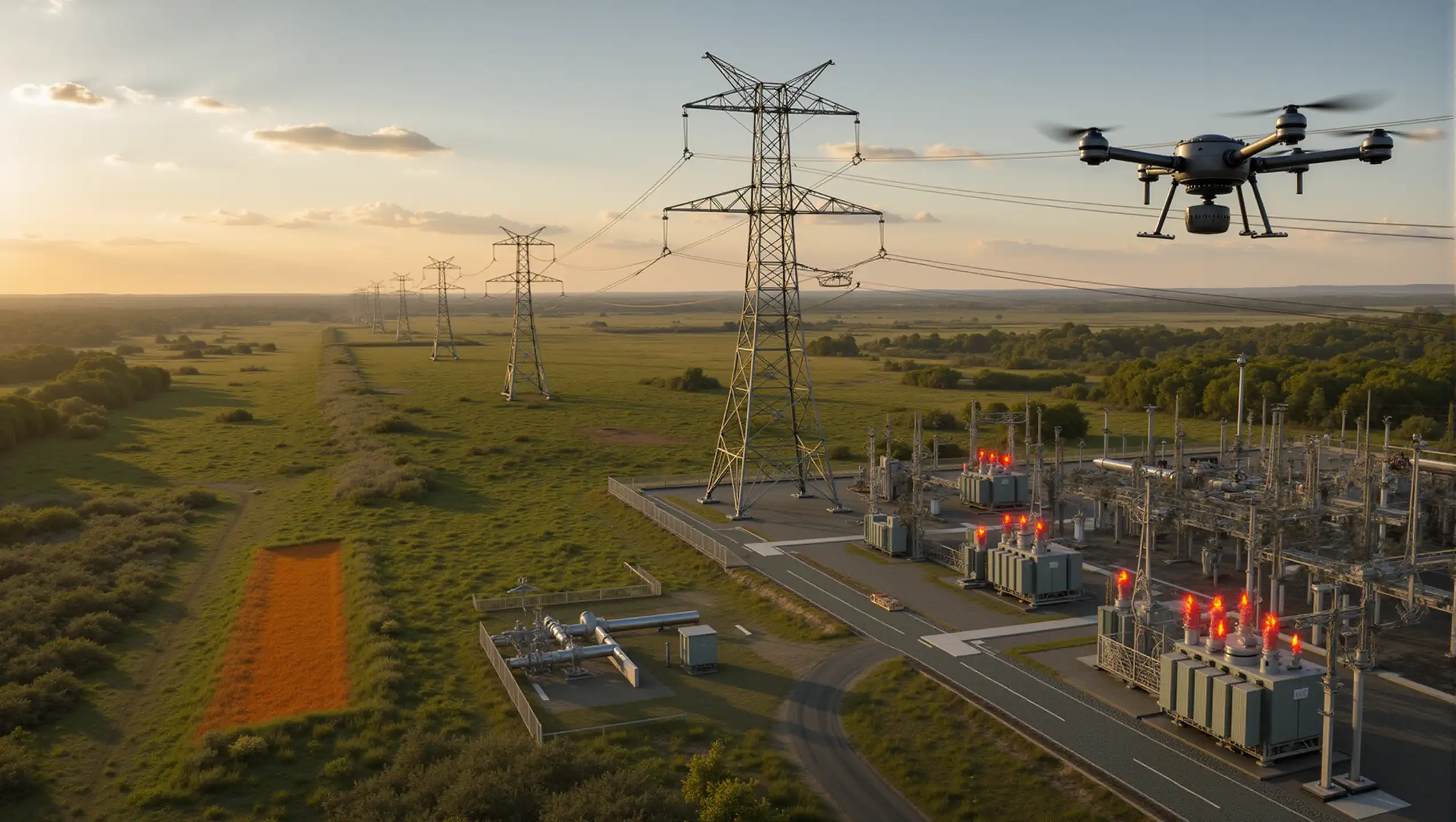
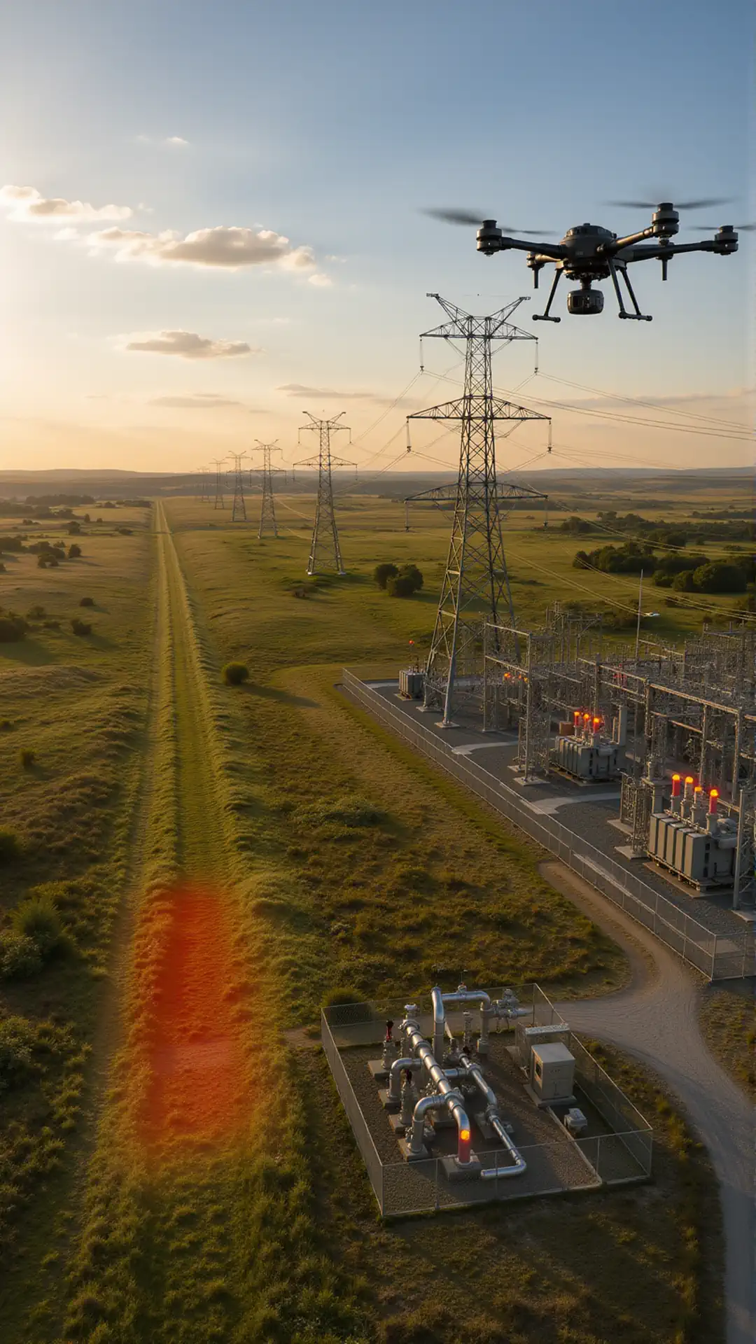
Thermal imaging drones can inspect substations, transformers, power lines, connectors, and other electrical equipment from a safer distance.
Abnormal heat patterns may help identify overloaded components, loose connections, damaged insulators, or equipment that requires maintenance.
PIPELINE INSPECTIONS
Thermal UAV systems can support pipeline inspections by identifying temperature differences around exposed pipelines, valves, pumping equipment, and surrounding ground.
Depending on the operating conditions, thermal data may help locate insulation problems, equipment overheating, or possible leakage areas that require further investigation.
INDUSTRIAL EQUIPMENT INSPECTIONS
Commercial thermal drones can inspect tanks, machinery, processing equipment, HVAC systems, and other industrial assets for overheating or unusual temperature patterns.
The drone provides access to elevated, restricted, or hazardous areas while reducing the need for scaffolding, lifts, or immediate physical contact with the equipment.
Integrated vs Modular Thermal Drone Systems
Integrated thermal drones are simpler to deploy, while modular thermal UAV platforms provide more flexibility when the payload or inspection requirements may change.
01 — SYSTEM ARCHITECTURE
Integrated Thermal Drone
Best for repeatable inspection work
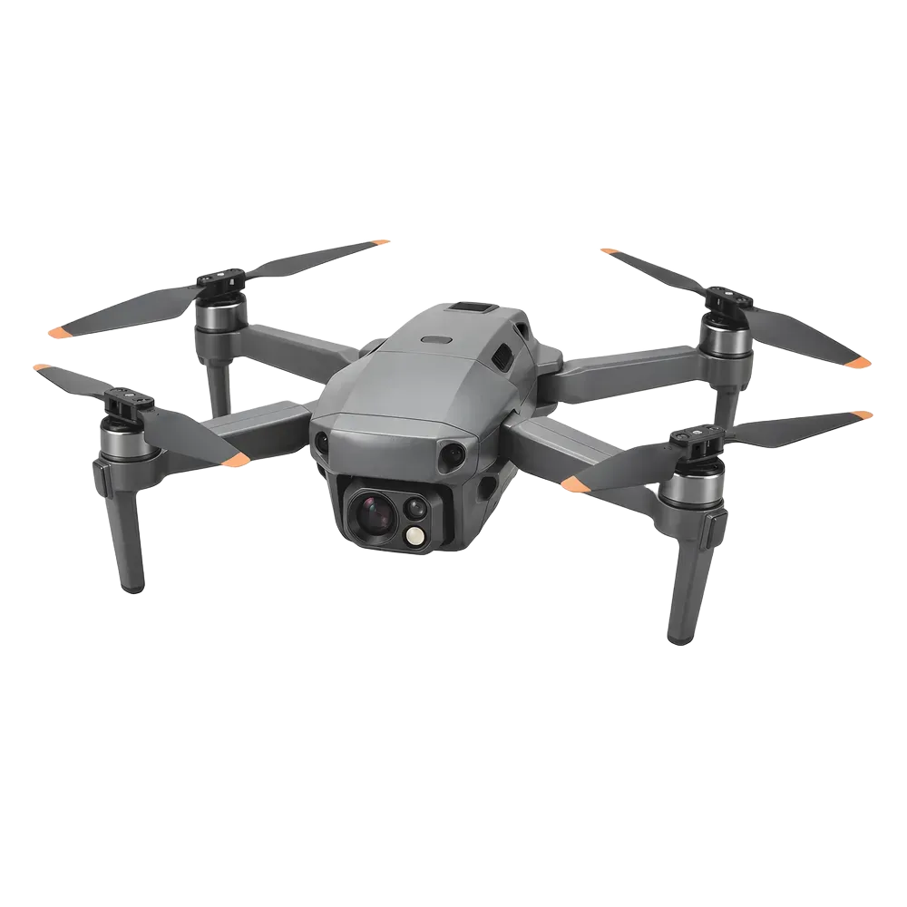
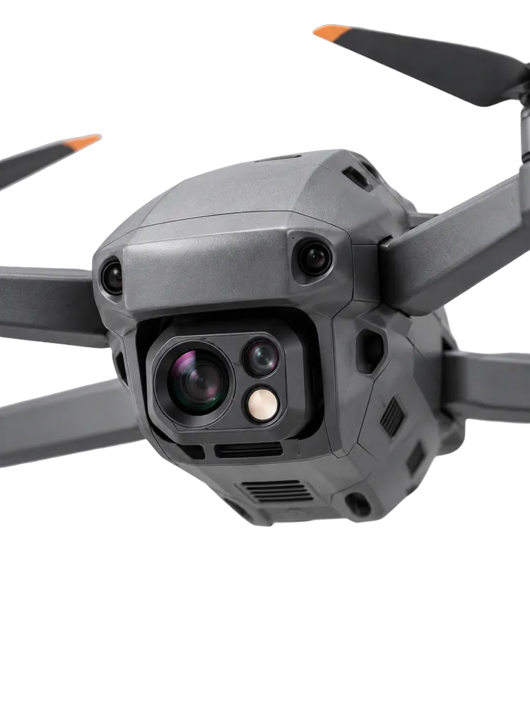
Aircraft and imaging system work as one package
Faster setup with fewer integration decisions
Limited flexibility to change the payload later
Compact system · Integrated sensor package
Modular Thermal UAV Platform
Best for specialized or changing payload needs
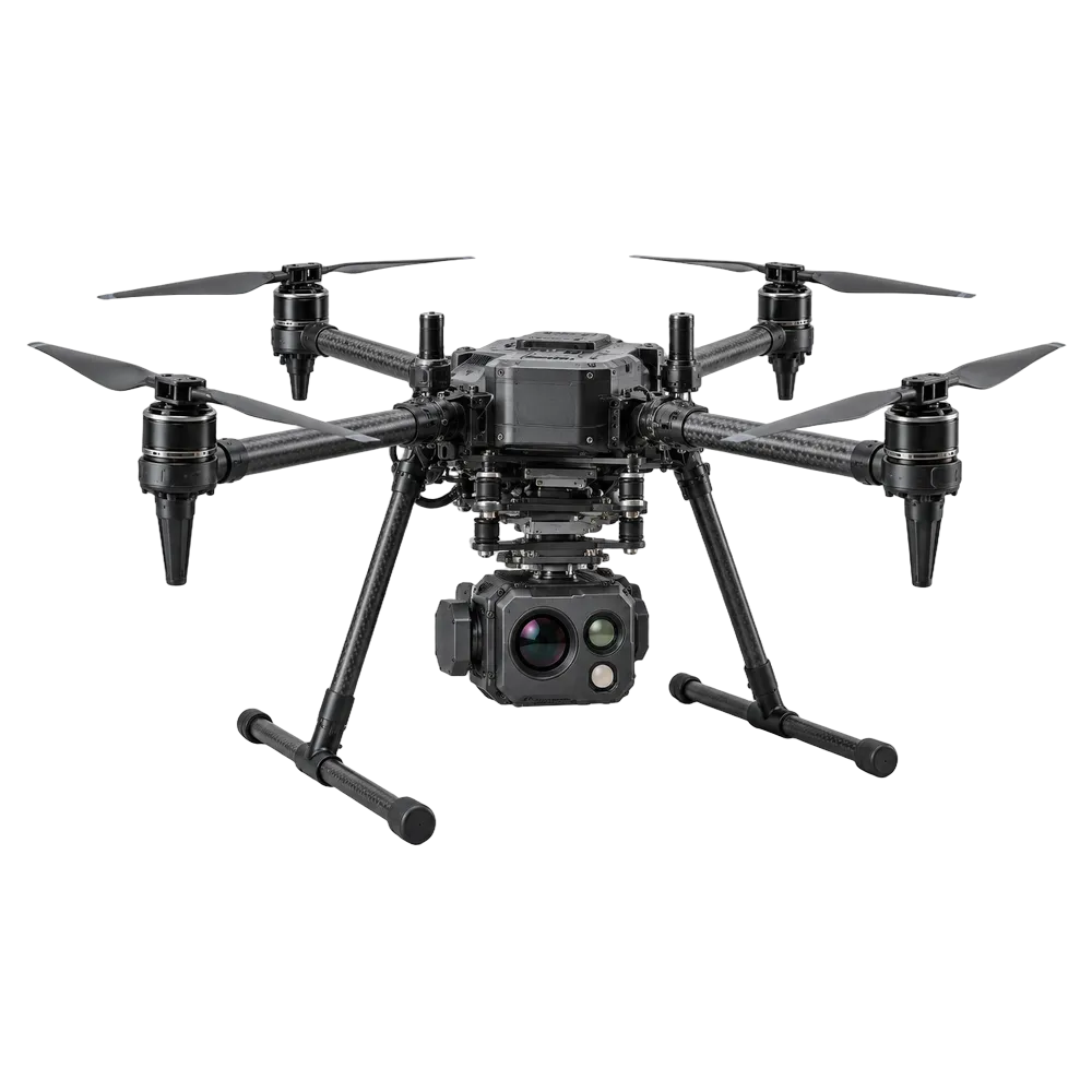
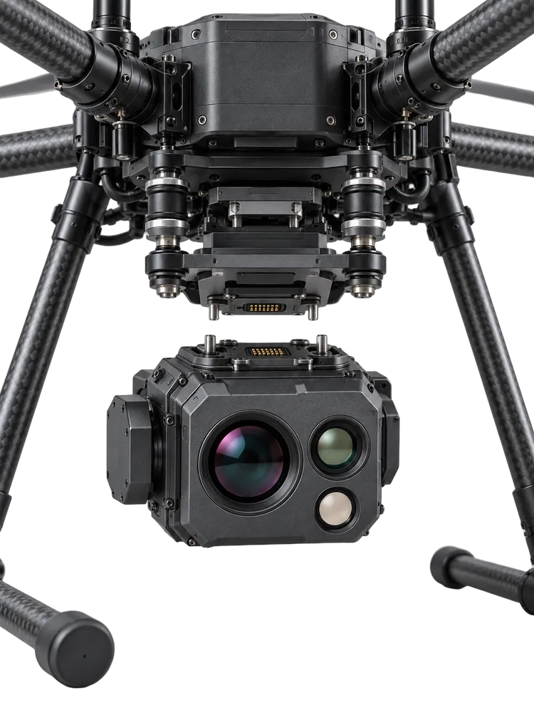
Supports removable or interchangeable payloads
Can be configured for different inspection requirements
Aircraft must match payload weight, power and integration needs
Flexible platform · Payload selected for the job
Payload Type
Integrated or interchangeable?
Payload Weight
What must the aircraft carry?
Integration
Mount, power, control and data
Future Use
Will the sensor package need to change?
System Fit
Choose architecture around the work
Choose the aircraft architecture around the payload and inspection requirements.
An integrated thermal drone reduces complexity. A modular platform provides more flexibility for different sensors and future work.
Integrated or Modular: Which Is the Better Fit?
An integrated thermal imaging drone makes sense when one sensor package covers the work and quick deployment matters.
It reduces setup complexity because the aircraft and imaging package are designed to operate together as one system.
This can be a practical fit for repeatable inspection workflows where the sensor requirements are unlikely to change.
A modular thermal UAV is more useful when different EO/IR payloads, optical configurations or other sensors may be required.
Payload flexibility can support different inspection tasks without replacing the entire aircraft platform.
That flexibility also makes aircraft capacity, payload weight, power, control and mounting compatibility more important.
Future payload needs should be considered before choosing a fixed or interchangeable architecture.
A modular platform can require more configuration and supporting equipment than an integrated system.
A modular thermal UAV can support different payloads over time, but only when the aircraft and payload interface are technically compatible.
The right choice is the architecture that supports the required payload and inspection workflow without adding unnecessary complexity.
Thermal-Only vs EO/IR Thermal Drone Systems
Choose thermal-only when the job is mainly about detecting heat patterns. Choose EO/IR when the inspection also requires visible identification or documentation of the affected component.
02 — SENSOR CONFIGURATION
Thermal-Only
Where is the anomaly?
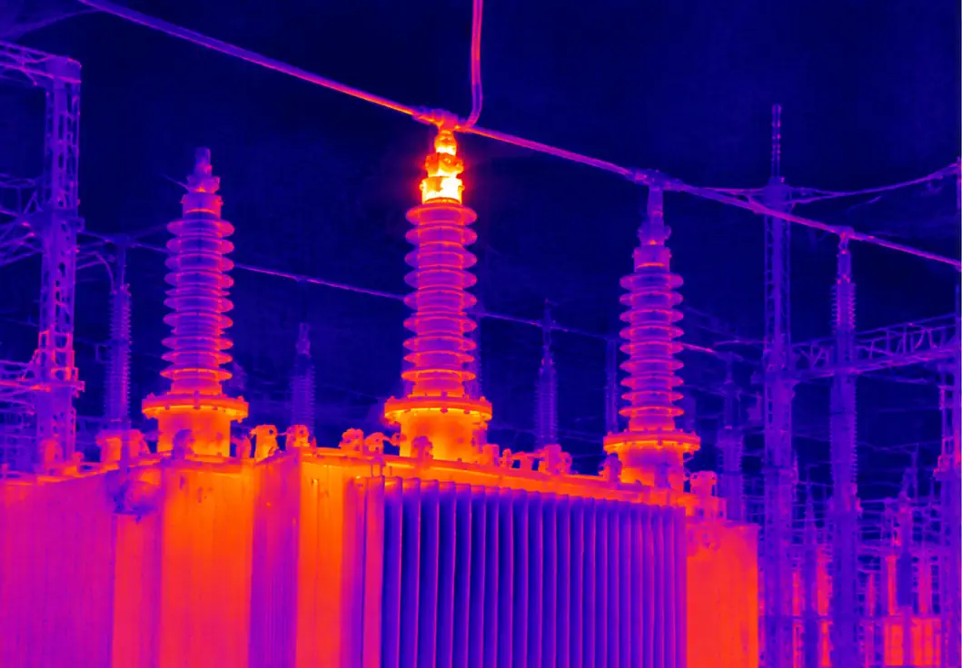
Detects hot and cold patterns
Supports thermal screening and anomaly location
Lower complexity when visual confirmation is not required
Required Inspection Result
Detection only or detection + identification
EO/IR
What exactly is affected?
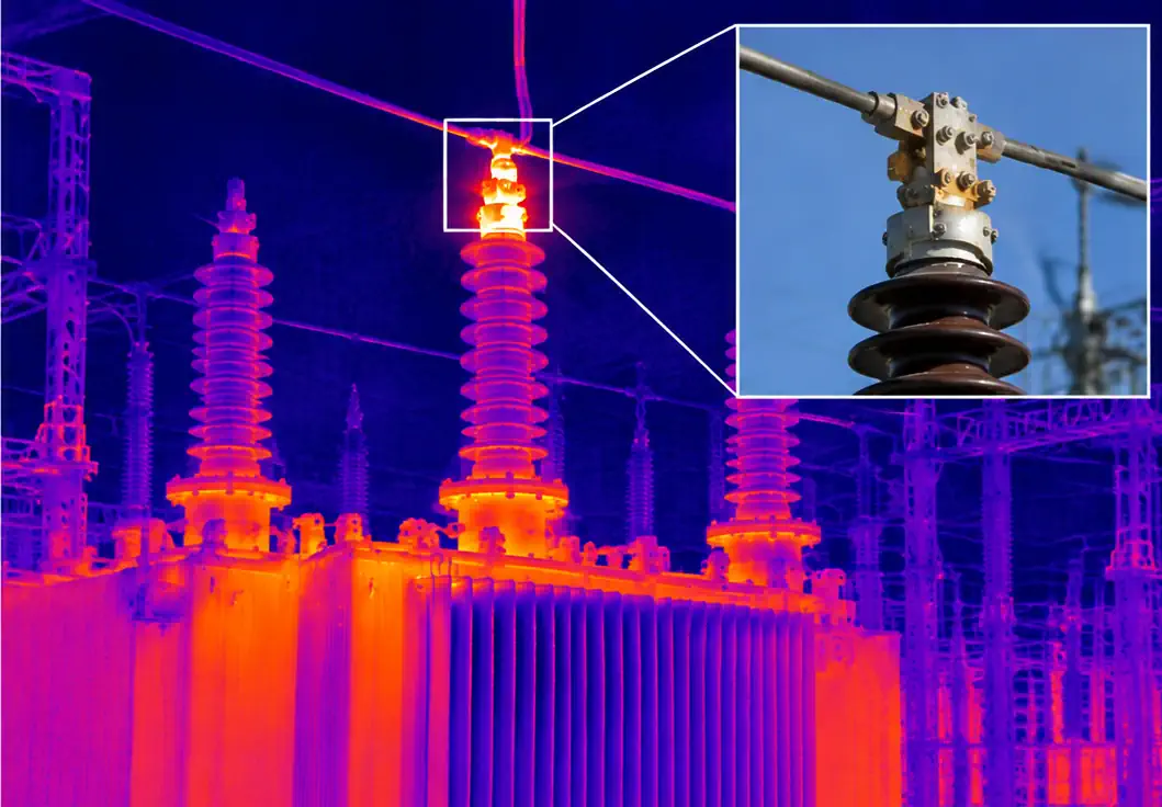
Combines thermal and visible imaging
Helps identify the affected component or surface
Provides stronger documentation of the finding
Radiometric Thermal
Adds temperature data when measurement is required.
Useful for post-flight thermal analysis.
EO/IR + Optical Zoom
Adds visible detail at greater stand-off distance.
Helps identify small or distant components.
Which Sensor Configuration Do You Need?
Thermal-only systems are appropriate when the main requirement is to locate abnormal temperature patterns.
Radiometric thermal adds temperature data when measurement is part of the inspection deliverable.
EO/IR combines thermal detection with visible identification.
This is useful when findings must show which physical component or surface is associated with the thermal anomaly.
Optical zoom becomes more valuable when the target is small or the aircraft must maintain greater stand-off distance.
For example, thermal imaging may locate an abnormal hot area while RGB or zoom helps identify the exact connector, panel, valve, cable or surface involved.
Thermal, RGB and zoom capabilities should be selected as one imaging package.
The correct configuration depends on the evidence the inspection must deliver, not simply on the highest camera specification.
What Changes the Price of a Thermal Drone System
Thermal drone prices depend on the complete configuration, not the aircraft alone. Payload capability, aircraft platform, compliance, integration and included equipment can all change the final system cost.
03 — TOTAL SYSTEM COST
Lower-Cost Configuration
Built for straightforward inspection requirements
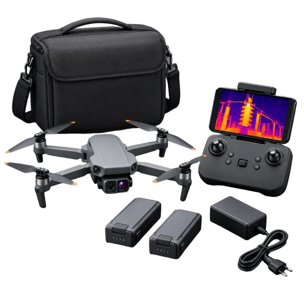
Simpler or integrated thermal payload
Lighter aircraft requirements
Fewer advanced capabilities and accessories
Higher-Capability Configuration
Built for more demanding inspection requirements
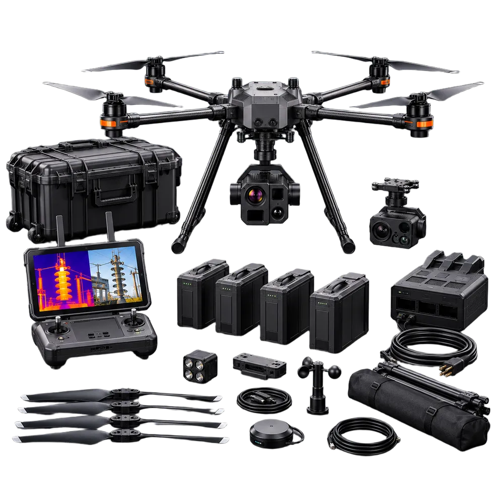
Advanced EO/IR or modular payload
More capable aircraft and supporting hardware
Broader inspection and integration capability
Payload + Aircraft
Sensor capability and payload weight affect the required platform
Compliance + Integration
NDAA requirements, mounting, control and software compatibility affect cost
Complete Package
Batteries, software, setup and support affect total price
Compare complete system price — not aircraft price alone.
A cheaper aircraft is not necessarily a lower-cost solution if the payload, accessories or integration required for the job are missing.
How to Compare Thermal Drone Prices
When comparing thermal drones for sale, confirm what is included in the complete configuration.
Aircraft price alone does not show the total cost of a ready-to-deploy thermal inspection system.
Payload capability is one of the main cost drivers because the required sensor package affects both imaging capability and aircraft requirements.
Aircraft platform requirements can change with payload weight, power demand, flight-time expectations and operating conditions.
NDAA requirements and configuration-specific compliance can also affect the available platform, components and total system cost.
Included equipment matters: batteries, chargers, controller or ground station, mounting hardware and accessories may be part of the package or priced separately.
Software and integration can change the final configuration price through payload setup, compatibility work, testing and data workflow requirements.
Training and support add cost when they are required for deployment or customer operations.
A lower-cost or affordable thermal drone may be enough for straightforward inspection work, while more demanding applications may require a higher-capability configuration.
For U.S. commercial buyers, compare the total ready-to-deploy system against the inspection result it can deliver rather than comparing aircraft prices in isolation.
Frequently Asked Questions About Thermal Imaging Drones
What is a thermal imaging drone?
A thermal imaging drone is an unmanned aircraft equipped with an infrared camera that detects temperature differences across buildings, equipment, land, and infrastructure. It can capture thermal data from the air while also recording standard visible images when equipped with an RGB camera.
What can thermal imaging drones be used for?
Thermal imaging drones are commonly used for roof inspections, solar panel inspections, electrical inspections, building heat-loss surveys, pipeline inspections, industrial equipment monitoring, and other applications where temperature differences can indicate a potential problem.
Can a thermal drone measure temperature?
A thermal drone can measure temperature when it carries a radiometric thermal camera. Radiometric cameras record temperature data for individual pixels, allowing captured images to be analyzed after the flight. Measurement accuracy depends on the camera, distance, angle, weather, surface material, and inspection settings.
What is the difference between a thermal camera and a standard drone camera?
A standard RGB camera records visible light and shows the appearance of an object. A thermal camera detects infrared radiation and displays temperature differences. Many thermal imaging drone systems use both cameras so operators can compare a visible image with the corresponding thermal view.
Can thermal imaging drones detect roof leaks?
Thermal imaging drones cannot directly confirm a roof leak, but they can identify temperature differences that may be associated with trapped moisture or wet insulation. Suspected areas should be verified using appropriate physical inspection methods.
Can thermal drones inspect solar panels?
Yes. Thermal drones can identify hotspots, defective cells, damaged modules, disconnected strings, and other temperature anomalies across rooftop and utility-scale solar installations.
Can a thermal UAV inspect power lines?
Yes. A thermal UAV can inspect transformers, substations, connectors, insulators, and power distribution equipment. It can help locate abnormal heat patterns while keeping the operator and aircraft at a controlled distance from energized infrastructure.
How far can a thermal imaging drone see?
The effective inspection distance depends on the thermal camera resolution, lens, target size, atmospheric conditions, and the level of detail required. Detecting a large heat source is possible from farther away than measuring a small electrical component accurately.
Are affordable thermal drones suitable for professional inspections?
Some affordable thermal drones are suitable for basic inspections, but professional work may require higher thermal resolution, radiometric measurement, optical zoom, longer flight time, weather resistance, and compatible reporting software. The lowest-cost system is not always suitable for collecting defensible inspection data. For close-range work, compare the 10-inch thermal FPV drone.
How much does a thermal imaging drone cost?
Thermal imaging drone prices vary significantly depending on the aircraft, thermal sensor resolution, radiometric capability, visible camera, zoom, flight time, compliance requirements, and included software. Entry-level systems cost less, while commercial thermal drones built for infrastructure and industrial inspections can cost substantially more.
Do thermal drone inspections require special software?
Most systems include or support software for flight control and live thermal viewing. More advanced workflows may require additional software for radiometric analysis, mapping, annotations, asset management, or inspection report generation.
Can thermal drones operate at night?
Thermal cameras do not require visible light, so they can capture thermal imagery at night. However, night operations must still comply with applicable aviation regulations, site procedures, visibility requirements, and safe operating conditions.
What should I look for in a thermal drone for sale?
Consider thermal resolution, radiometric capability, lens and field of view, visible camera quality, zoom, flight time, operating range, weather resistance, software compatibility, regulatory compliance, and the types of assets you need to inspect.
Does a thermal anomaly always indicate a defect?
No. A temperature difference can be caused by sunlight, reflections, surface materials, weather, equipment operation, airflow, or other environmental factors. Thermal findings should be interpreted by a qualified operator and confirmed when necessary with additional inspection methods.