Applied Aeronautics
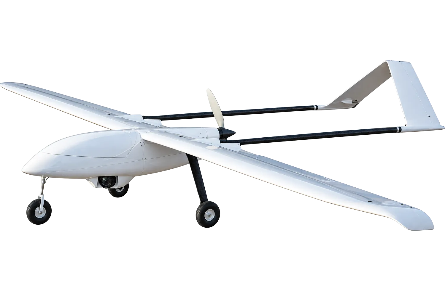
Albatross High-Resolution Mapping System
Professional long-endurance fixed-wing UAV system for aerial mapping, surveying, photogrammetry, and large-area geospatial data collection.
Survey Camera
Payload Model
240 min
Flight Time
4.4 kg
Payload Capacity
Positioning Systems
20.1 MP
RGB Camera
cm
LiDAR Accuracy
pts/s
LiDAR Point Rate
m
LiDAR Range
LiDAR Returns
LiDAR Capabilities
✓ VERIFIED SOLUTION
NDAA Configuration
Choose a configuration
From
$14,810
Final pricing depends on payload configuration, batteries,
accessories, positioning options, software, and support requirements
Get Pricing for Your Configuration
Tell us what you need, and we’ll recommend a suitable configuration and provide pricing details.
Ready-to-Deploy
Verified Specifications
U.S. Support
NDAA | Commercial
On this page:
Configuration
Specifications
Software
Workflow
FAQ
Configuration NDAA
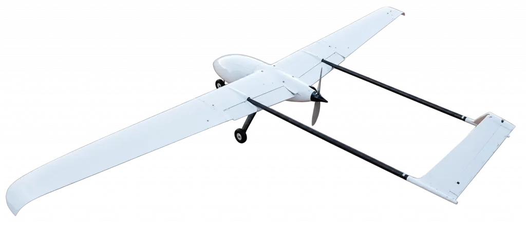
NDAA Configuration — Included
- ✓ Albatross-US NDAA-Compliant UAV Platform
- ✓ Selected Payload
- ✓ Camera Installation & Integration
- ✓ NDAA-Compliant Avionics & Communications
- ✓ Long-Range AES-256 Encrypted C2 Link
- ✓ 120 m Laser Altimeter
- ✓ 1 Flight Battery
- ✓ Battery Charger
- ✓ QGroundControl-Compatible Mission Planning
- ✓ System Configuration & Ground Testing
- ✓ Basic Support
NDAA Optional Add-ons
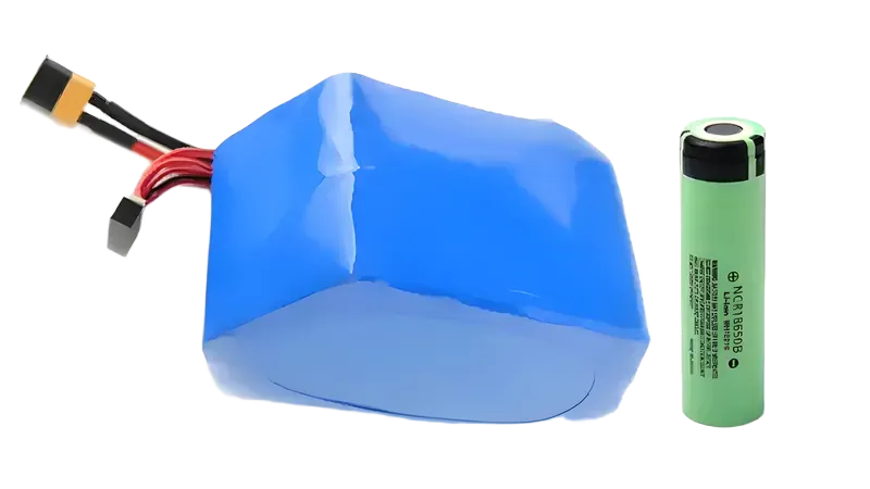
Additional Flight Battery
From $475
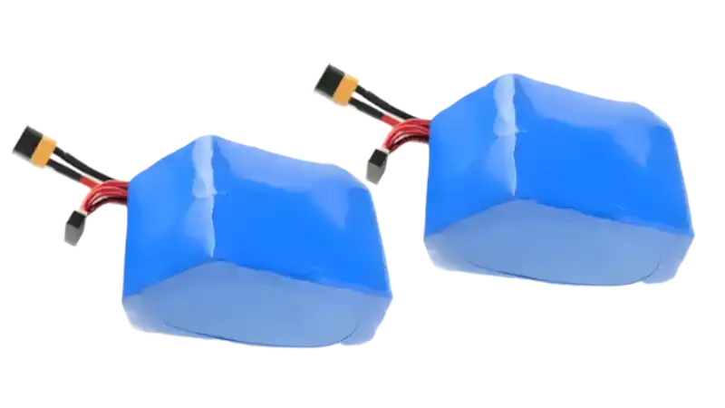
Additional Battery — 2-Pack
From $950
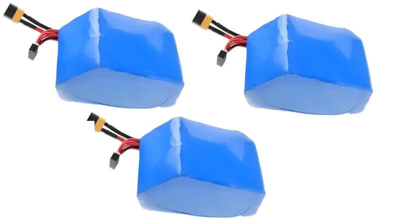
3-Battery Setup
From $1425
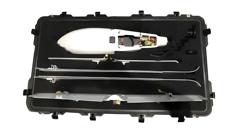
Rugged Transport Case
From $985
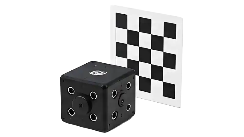
Autopilot Thermal Calibration
From $785
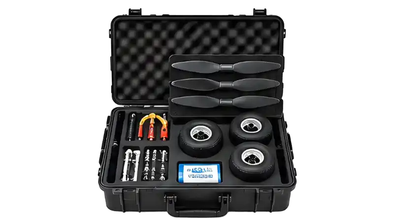
Albatross In-Field Kit
From $650
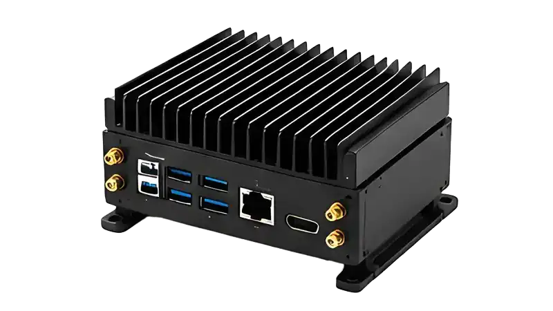
Onboard Compute
From $4400
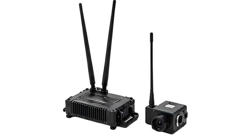
Long-Range FPV (30 km)
From $1095
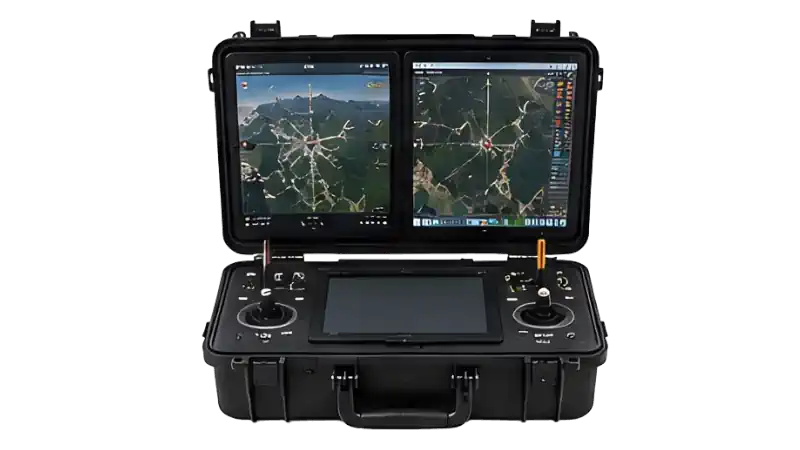
Dual-Screen Ground Station
From $12500
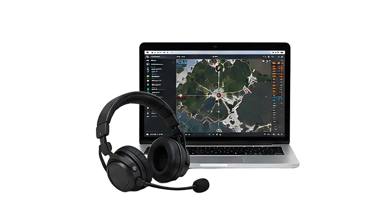
Remote Training — Full Day
From $4750

Onboard Compute
From $1400
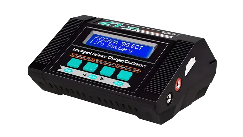
Battery Charger
From $95
Configuration Commercial
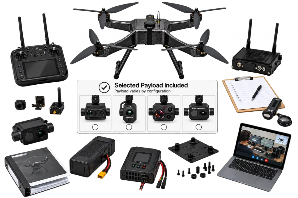
Commercial / Non-NDAA Configuration — Included
- ✓ Commercial UAV Platform
- ✓ Integrated Payload
- ✓ Commercial Flight Controller & Communication System
- ✓ 1 Flight Battery
- ✓ Battery Charger
- ✓ Payload Mount & Integration Hardware
- ✓ System Setup & Pre-Shipment Testing
- ✓ Documentation & Training Materials
- ✓ Basic Remote Training — materials + 1–2 hour video session
Commercial / Non-NDAA Optional Add-ons
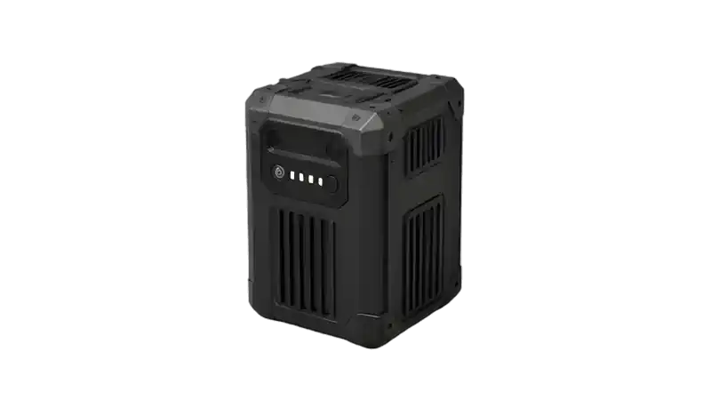
Additional Flight Battery
From $495
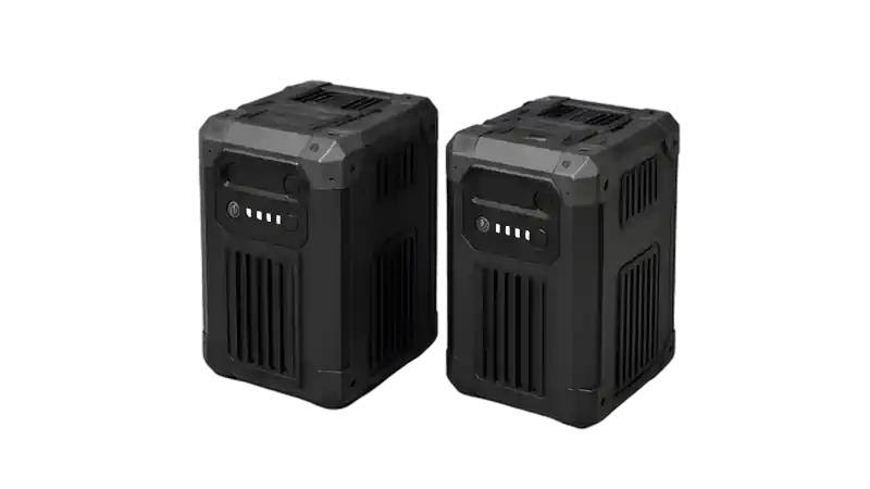
Additional Battery Set
From $895
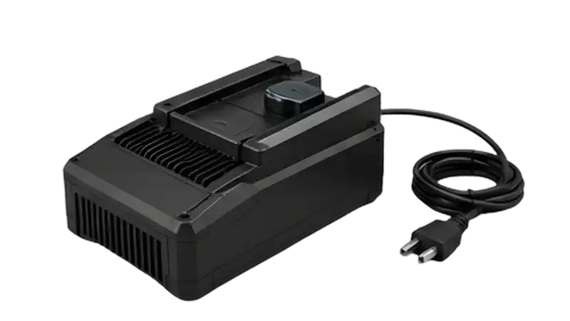
Additional / Backup Charger
From $395
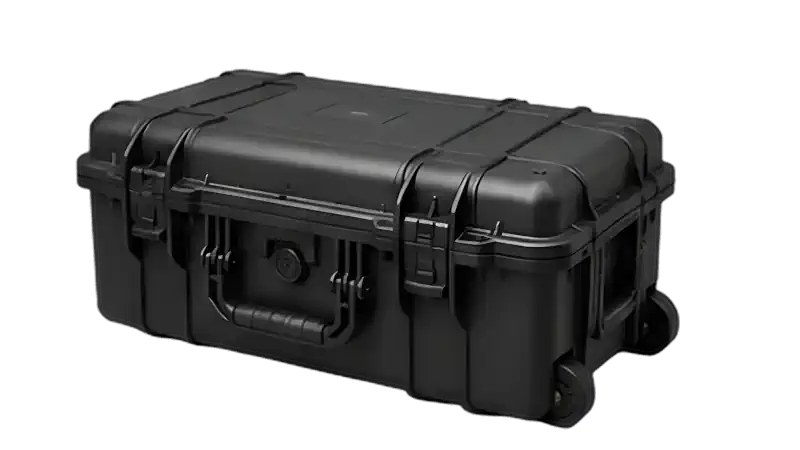
Rugged Transport Case
From $595
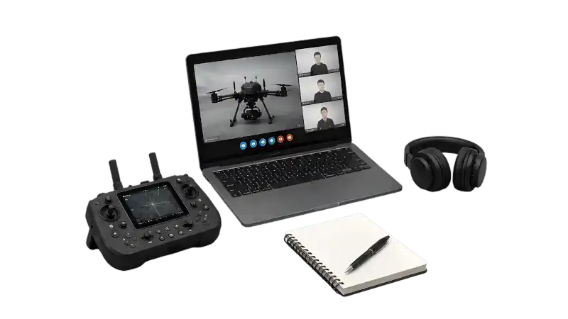
Extended Remote Training
From $750
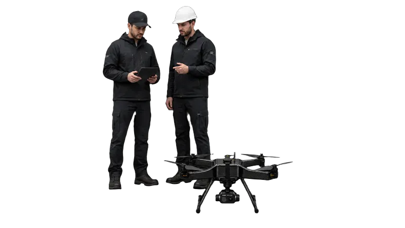
On-Site Training
From $2,500
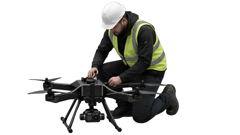
On-Site Setup & Commissioning
From $2,000
Specifications
Review the key technical specifications of this drone configuration, including flight performance, positioning systems, and payload capabilities.
Aircraft
Aircraft Type
fixed_wing
Defines the aircraft platform and its basic flight configuration.
Flight Time
240 min
Maximum stated airborne time per flight for this configuration.
Operating Range
124 mi
Maximum stated operating distance supported by the aircraft and control link.
Payload Capacity
4.4 kg
Maximum payload weight the aircraft platform is designed to carry.
Frame Size
3000 mm
Overall platform size, useful for transport, deployment, and operating-space planning.
Max Wind Speed
13.4 m/s
Maximum stated wind speed for operation of the aircraft.
Positioning
Positioning
Unknown
Positioning technologies available for navigation and repeatable data capture.
Thermal & RGB Imaging
RGB Resolution
20.1 MP
Determines the level of visible-image detail available for inspection and documentation.
Optical Zoom
Unknown
Provides closer visual detail while maintaining greater distance from the inspected asset.
Thermal Resolution
Determines the spatial detail available in the thermal image.
Thermal Field of View
Unknown
Defines the area captured by the thermal sensor at a given distance.
Thermal Sensitivity (NETD)
Unknown
States the smallest temperature difference the thermal sensor can distinguish.
Thermal Digital Zoom
Unknown
Magnifies the thermal image digitally without increasing its native sensor resolution.
Radiometric
Unknown
Indicates whether temperature values are recorded for individual pixels in the thermal image.
Thermal Accuracy
Unknown
Stated temperature-measurement accuracy of the thermal sensor.
Temperature Range
Unknown
Temperature interval the thermal sensor is specified to measure.
LiDAR
LiDAR Accuracy
Unknown
Stated spatial accuracy of the LiDAR payload.
LiDAR Range
Unknown
Stated LiDAR measurement range.
LiDAR Returns
Unknown
Maximum recorded returns per pulse.
LiDAR Point Rate
Unknown
Stated LiDAR point collection rate.
Mapping and Data Workflow
From mission planning and aerial data capture to photogrammetry processing and final mapping deliverables, the Albatross provides a long-endurance fixed-wing platform for professional surveying and geospatial workflows
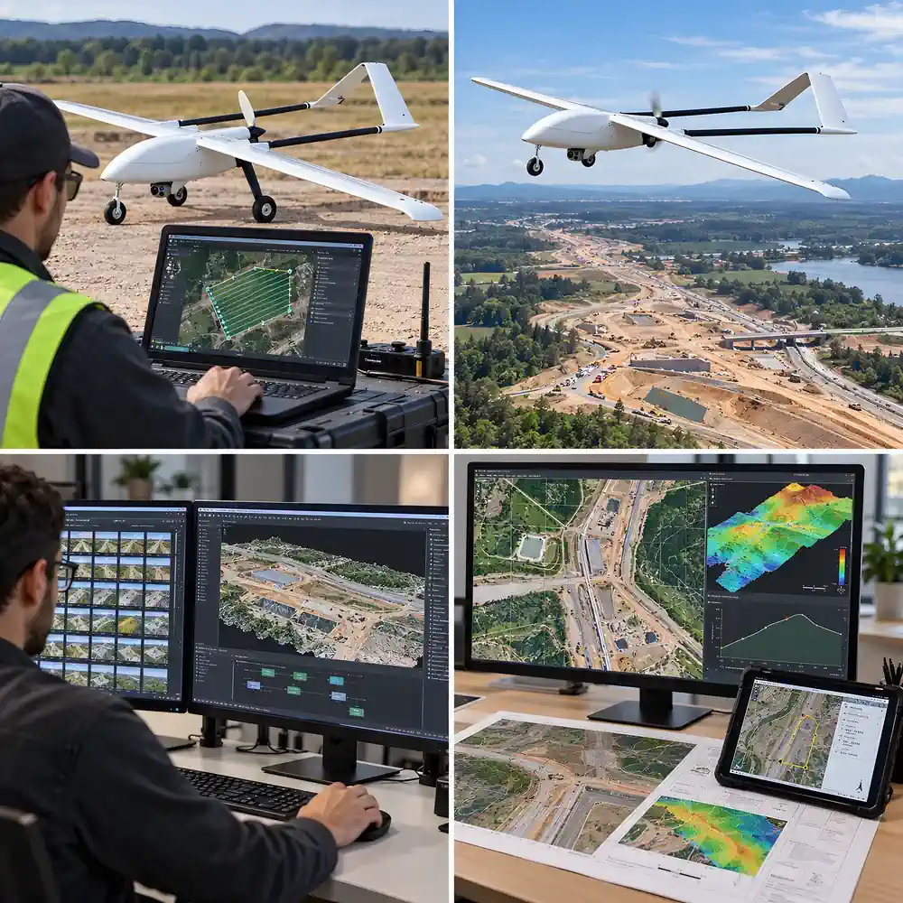
Mission Planning
Plan automated survey missions around the required coverage area, flight path, altitude, and image overlap. The fixed-wing platform supports efficient data collection across large sites and long linear corridors.
Survey Data Capture
Capture overlapping aerial imagery with the selected mapping payload using a structured survey mission. Imaging capabilities and capture specifications depend on the active payload configuration.
Photogrammetry Processing
Process captured survey imagery through the selected photogrammetry workflow to generate mapping and geospatial data products for project review and analysis.
Mapping Deliverables
Use processed mapping data for site documentation, construction progress tracking, corridor mapping, asset planning, measurements, and other professional geospatial workflows.
Compatible Software
The Albatross-US supports mission planning and professional photogrammetry workflows for processing geotagged 20MP survey imagery into mapping and geospatial deliverables.
QGroundControl
Ground control software for mission planning, aircraft configuration, flight monitoring, and automated survey routes with the PX4-compatible Albatross-US autopilot.
WebODM
Open-source drone mapping software for processing aerial survey imagery into orthophotos, point clouds, digital elevation models, textured 3D models, and other geospatial outputs.
Agisoft Metashape
Professional photogrammetry software for processing geotagged aerial imagery into orthomosaics, dense point clouds, 3D models, elevation models, and measurement-ready spatial data.
Pix4Dmapper
Photogrammetry software for processing aerial RGB imagery into orthomosaics, point clouds, 3D models, measurements, and georeferenced mapping datasets.
Frequently Asked Questions
What is the Albatross mapping system designed for?
The Albatross is configured for professional aerial mapping, surveying, photogrammetry, and large-area geospatial data collection. Its fixed-wing platform is suited to projects where long endurance and efficient coverage of large sites or linear corridors are important.
What payload is used for mapping?
The active payload depends on the selected system configuration. Mapping configurations can use an RGB survey camera or another supported payload selected for the required data collection workflow. Payload-specific specifications are shown with the active configuration.
How long can the Albatross remain in flight?
The Albatross platform is rated for up to 4 hours of flight time. Actual endurance depends on the selected payload, battery configuration, weather conditions, mission profile, and operating environment.
Can the system be used for large-area and corridor mapping?
Yes. The fixed-wing platform is designed for efficient coverage of large areas and long linear routes. This makes it suitable for site mapping, corridor surveys, construction documentation, infrastructure projects, and other missions where repeated aerial data collection over extended areas is required.
What mapping software can be used with the system?
QGroundControl can be used for mission planning and flight operations with the PX4-compatible Albatross autopilot. Captured aerial imagery can then be processed in photogrammetry software such as WebODM, Agisoft Metashape, or Pix4Dmapper, depending on the project workflow.
What mapping outputs can be produced?
Depending on the selected payload and processing software, captured aerial imagery can be used to generate orthomosaics, point clouds, 3D models, elevation products, measurements, and other georeferenced mapping datasets.
Is an NDAA-compliant configuration available?
Yes. The Albatross-US is available as an NDAA-compliant configuration with NDAA-compliant avionics and communications. A separate commercial configuration is also available for projects that do not require NDAA procurement compliance.
Does the system include the mapping payload and integration?
The configured system can include the selected payload, payload installation and integration, aircraft configuration, ground testing, battery, charger, mission-planning capability, and support. The exact included items and system price depend on the selected configuration.