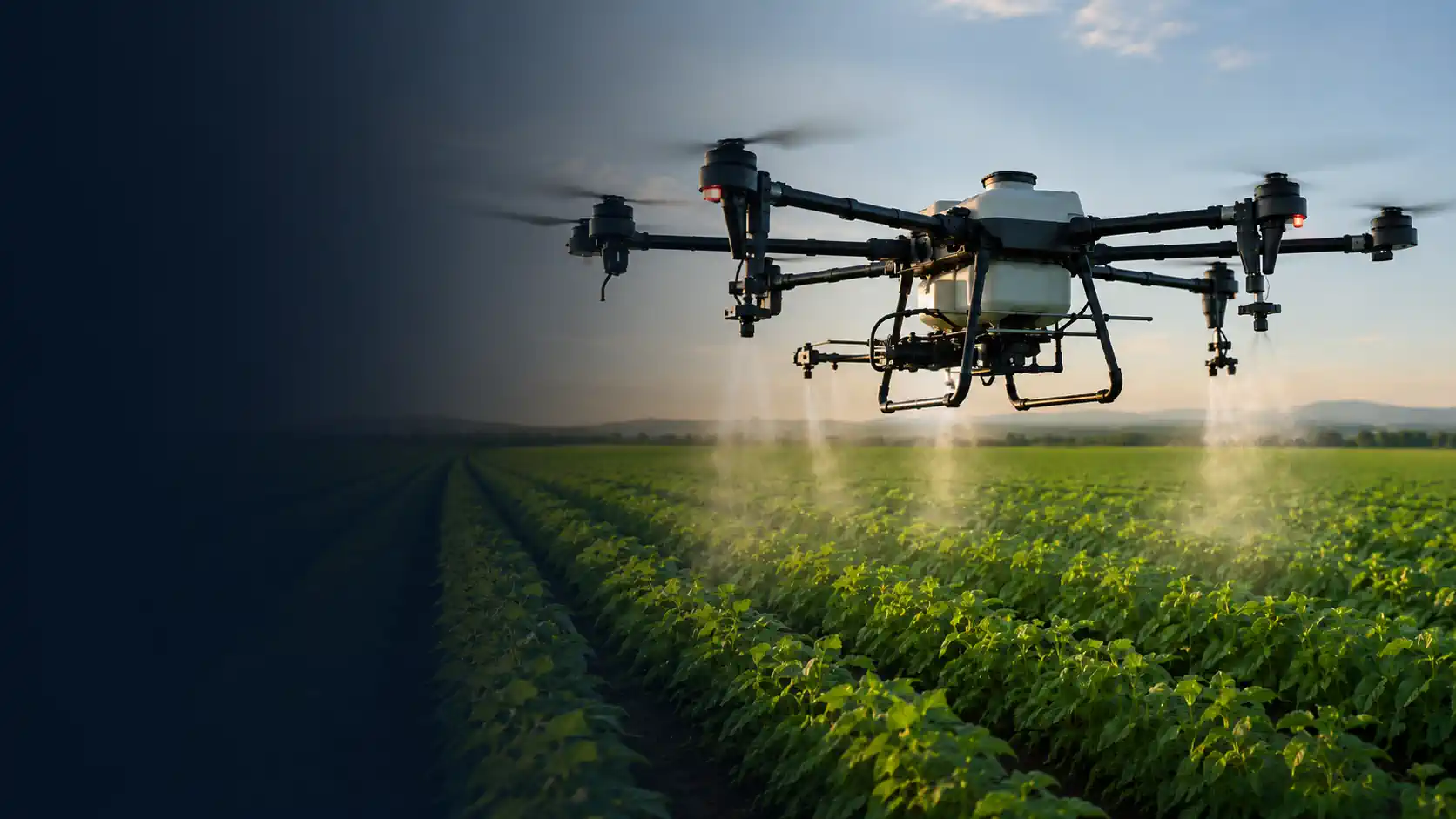
Crop Monitoring Drones
| Imaging systems for faster field scouting and repeatable crop review. |
Select the Right Drone System
Describe what you need the drone system to do, or use our guided selector.
Loading selector...
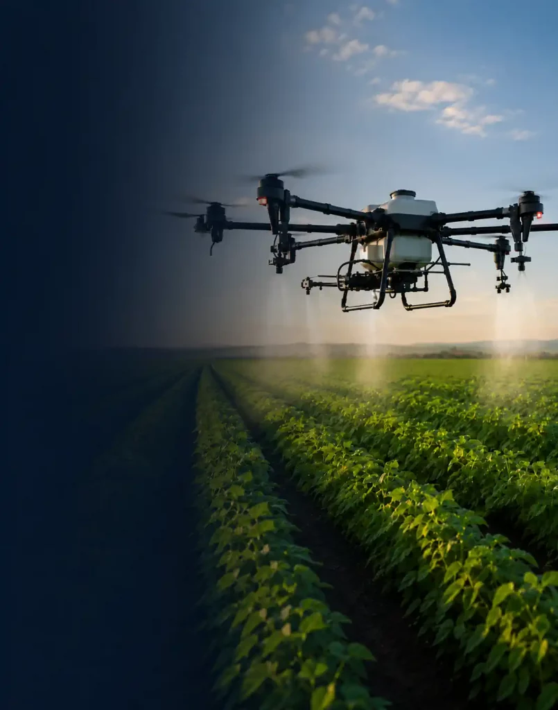
Crop Spraying Drones
Field-ready systems for precise, efficient liquid application.
Select the Right Drone System
Describe what you need the drone system to do, or use our guided selector.
Loading selector...
Crop monitoring drones help farm teams collect current imagery across fields and direct ground scouting toward areas that need attention. The right system depends on the condition being observed, the level of detail required, the size of the field, how often data will be collected, and what must happen after the flight.
Nonadrone helps operators compare ready-to-deploy monitoring systems with RGB, multispectral, or thermal payloads, compatible mission-planning and processing software, battery and charging equipment, positioning options, training, and support.
Match the Sensor to the Scouting Question
Different cameras reveal different types of information. Buying the most complex sensor does not guarantee a more useful result.
RGB Cameras
Standard color imagery is useful for visual crop scouting, field documentation, stand and emergence review, storm-damage documentation, and locating visible variation such as bare areas, lodging, weed patches, drainage patterns, or uneven development. Useful detail depends on lens, resolution, altitude, flight speed, image overlap, focus, and lighting.
Multispectral Cameras
Multispectral sensors capture selected spectral bands for vegetation indices and comparisons of crop variability. A dependable workflow may require a calibrated sensor, reflectance reference, sunlight information, consistent collection practices, compatible processing, and a clear plan for interpreting the output.
Thermal Cameras
Thermal imaging measures surface-temperature differences. Depending on timing, resolution, crop, weather, and field conditions, it may help locate temperature patterns associated with irrigation performance, water stress, drainage, or another condition that warrants ground investigation. Thermal patterns are not a diagnosis by themselves.
Field Scouting Versus Full Mapping
Not every monitoring flight needs a processed orthomosaic. Rapid visual review can be sufficient when the objective is to locate obvious damage or direct a crew to specific parts of a field. A map becomes more valuable when the operator needs complete coverage, a shareable field layer, area measurement, repeatable comparison, or integration with another workflow.
If the deliverable requires orthomosaics, positional consistency, repeat surveys, or exports to agronomy software, compare dedicated agricultural mapping drones and their processing workflows.
What to Compare in a Crop Scouting Drone
- Ground detail: the smallest feature that must be visible at a practical flight altitude.
- Field coverage: useful area per battery at the required altitude, speed, overlap, and reserve.
- Sensor consistency: exposure control, calibration requirements, geotagging, and capture repeatability.
- Positioning: standard GNSS, RTK, or PPK according to the output—not as a specification purchased without a use case.
- Processing: supported inputs, output formats, local or cloud workflow, subscription costs, and data-export options.
- Field operation: launch area, wind limits, batteries, charging, transport, setup time, and operator workload.
Ready-to-Deploy Crop Monitoring Systems
A complete monitoring package can include the aircraft, selected camera, batteries, charger, controller, mission-planning software, processing or analysis software, calibration accessories, positioning equipment, transport case, setup, training, warranty, and support. Confirm which licenses and correction services are included and which recur separately.
For systems that also support spraying, granular spreading, or broader farm workflows, return to agricultural drones.
Read more about crop monitoring drone selection
Repeatable Collection Matters
Comparing fields over time requires more than revisiting the same location. Altitude, route, image overlap, camera settings, calibration, time of day, sunlight, wind, crop stage, and recent weather can change the appearance of the data. A repeatable mission and field procedure improve the value of seasonal comparisons.
Resolution Must Be Evaluated on the Ground
Megapixels and thermal pixel counts do not directly state what can be seen in a field. The sensor, lens, flight altitude, motion, focus, and processing determine ground detail. Define the feature or pattern that must be visible, then verify that the proposed system can collect usable data at an efficient operating altitude.
From Aerial Pattern to Field Decision
Visible, spectral, and thermal differences can have multiple causes. A monitoring workflow should connect imagery to field verification: mark the location, inspect it on the ground, document observations, and decide whether additional agronomic analysis is needed. This keeps the drone in its proper role as a data-collection and scouting tool.
Software and Data Ownership
Confirm how flights are planned, where imagery is processed, how long data is stored, whether raw files can be downloaded, and which formats can be exported. If the operation already uses farm-management or GIS software, verify compatibility before selecting the aircraft and sensor package.
Frequently Asked Questions
What is the best camera for crop monitoring?
There is no single best sensor. RGB is suitable for visible-condition review and documentation; multispectral supports calibrated vegetation-index workflows; thermal shows surface-temperature patterns. The correct choice depends on the question and required output.
Can crop monitoring drones identify plant disease?
Drone imagery can reveal unusual patterns or visible symptoms, but similar patterns may have different causes. Disease identification generally requires ground verification and qualified agronomic assessment.
Do I need multispectral imaging for crop scouting?
Not always. RGB imagery may be sufficient for visual documentation and locating obvious variation. Multispectral is justified when the operation has a defined vegetation-index workflow, calibration process, and plan for using the output.
Is an orthomosaic required after every monitoring flight?
No. Rapid image review may be enough for targeted scouting. Orthomosaics are more useful when complete coverage, measurements, repeatable comparison, sharing, or integration with other field data is required.