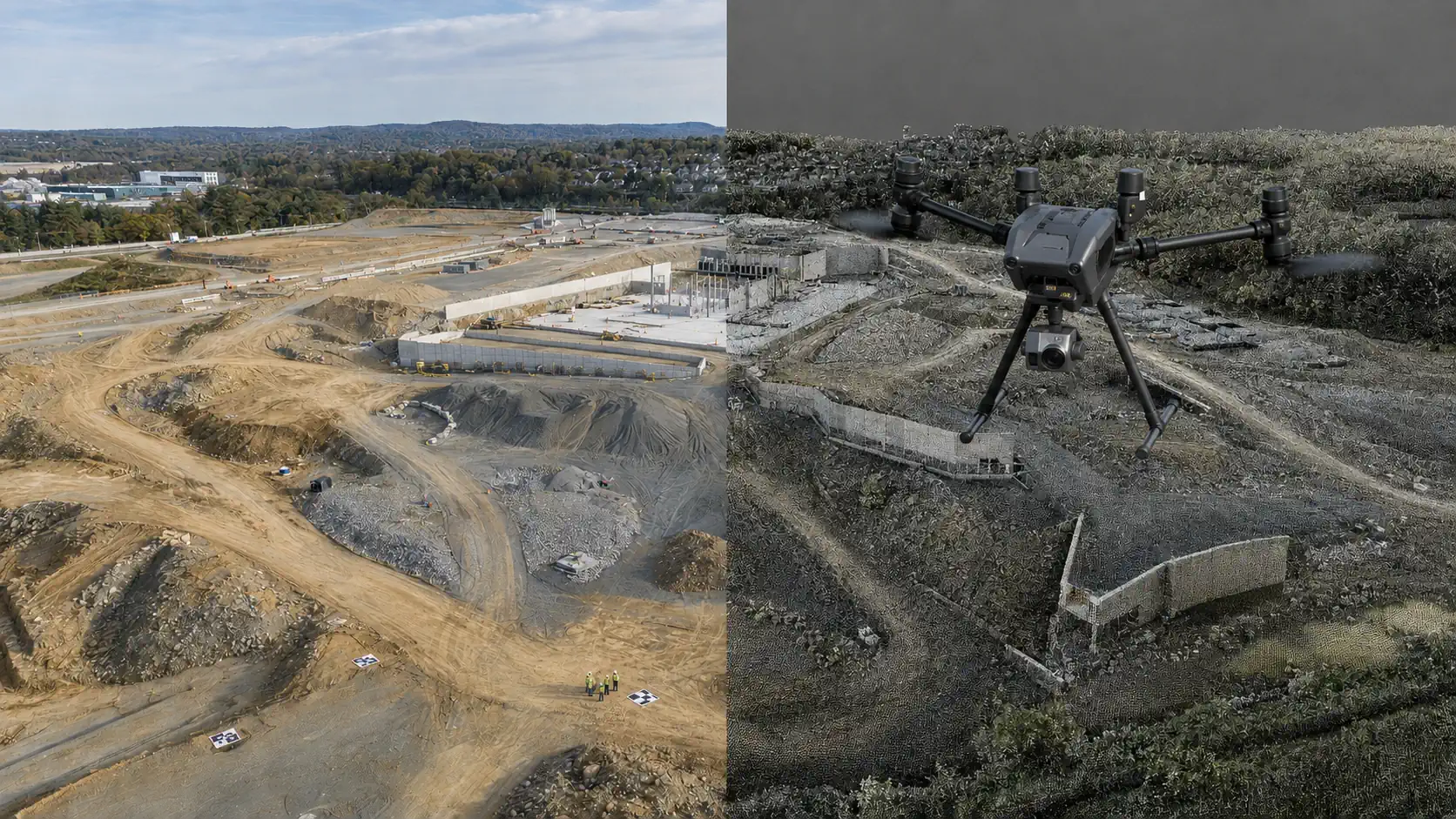
Surveying Drones for Land Surveying and Mapping
Find a ready-to-deploy UAV system for land surveying, aerial mapping, accurate measurements, and repeatable site data collection.
Ready-to-Deploy
Verified Specifications
U.S. Support
NDAA Compliant
Select the Right Drone System
Describe what you need the drone system to do, or use our guided selector.
Loading selector...
SITE
MAPPING
PROGRESS
TRACKING
SITE
INSPECTIONS
ACCURATE
MEASUREMENTS
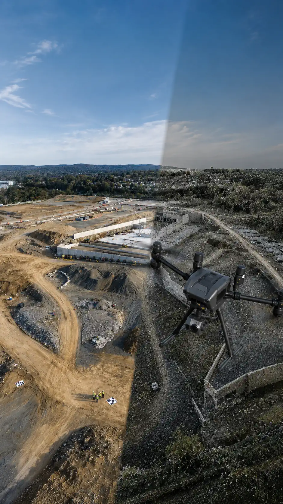
Surveying Drones for Land Surveying and Mapping
Find a ready-to-deploy UAV system for land surveying, aerial mapping, accurate measurements, and repeatable site data collection.
Ready-to-Deploy
Verified Specifications
U.S. Support
NDAA Compliant
Select the Right Drone System
Describe what you need the drone system to do, or use our guided selector.
Loading selector...
SITE
MAPPING
PROGRESS
TRACKING
SITE
INSPECTIONS
ACCURATE
MEASUREMENTS
On this page:
NDAA Solutions
Commercial Solutions
Types of work
Software
FAQ
Overview
NDAA DRONE SOLUTIONS
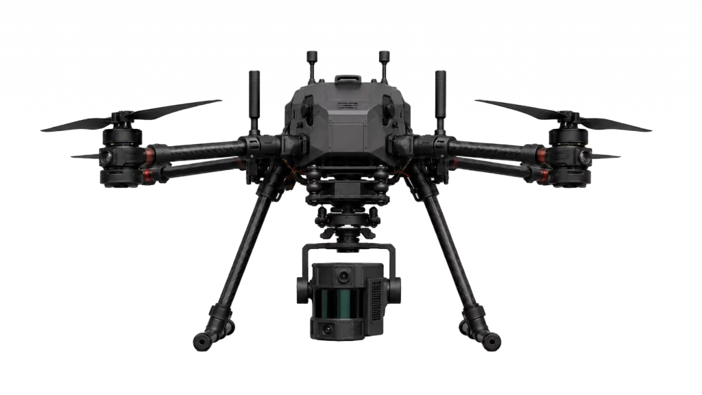 ✓ VERIFIED SOLUTION
- 42 minFlight Time
- 9.3 miOperating Range
- 48 MPRGB Resolution
- 2 cmLiDAR Accuracy
- 20×Optical Zoom
- 250 mLiDAR Range
From $59,900
View SystemCOMMERCIAL DRONE SOLUTIONS
✓ VERIFIED SOLUTION
Kinetic Analytics
PMpro-2b LiDAR Mapping System
- 42 minFlight Time
- 9.3 miOperating Range
- 48 MPRGB Resolution
- 2 cmLiDAR Accuracy
- 20×Optical Zoom
- 250 mLiDAR Range
From $29,900
View SystemSOFTWARE FOR SURVEYING AND MAPPING DRONES
SURVEYING AND MAPPING SOFTWARE CONNECTS EVERY STAGE OF THE WORKFLOW—FROM FLIGHT PLANNING AND DATA COLLECTION TO PROCESSING, MEASUREMENT, AND EXPORT INTO PROFESSIONAL PROJECT SYSTEMS.
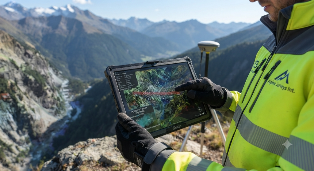
FLIGHT PLANNING
DEFINE THE SURVEY AREA, FLIGHT ALTITUDE, IMAGE OVERLAP, GROUND RESOLUTION, FLIGHT DIRECTION, AND AUTOMATED ROUTE BEFORE TAKEOFF.
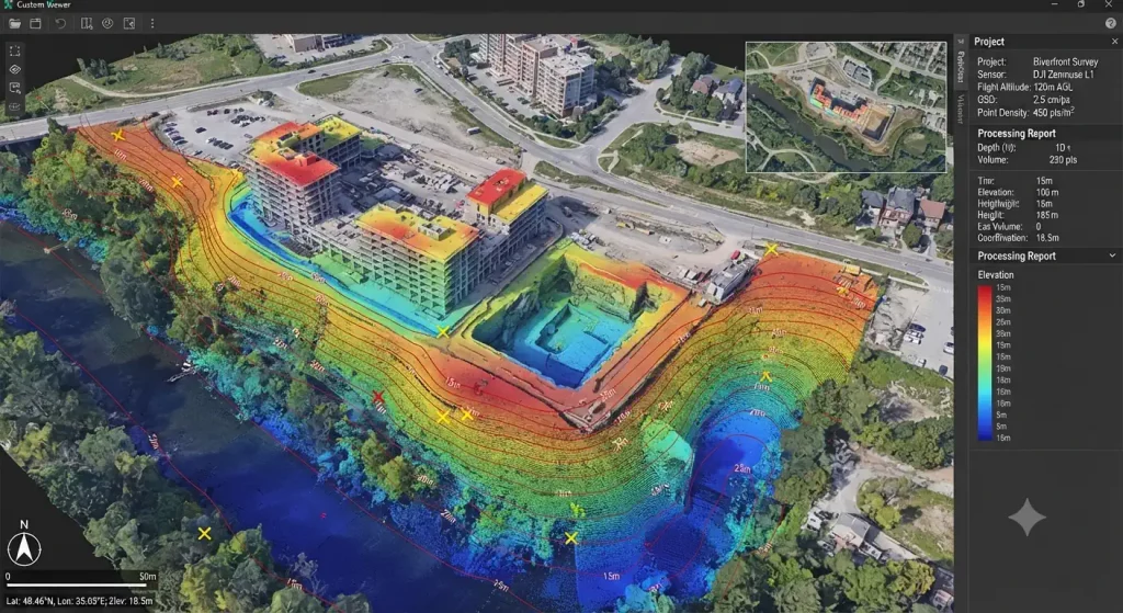
DATA PROCESSING
CONVERT AERIAL IMAGES AND SENSOR DATA INTO GEOREFERENCED ORTHOMOSAICS, POINT CLOUDS, ELEVATION MODELS, AND OTHER MEASURABLE SURVEY OUTPUTS.
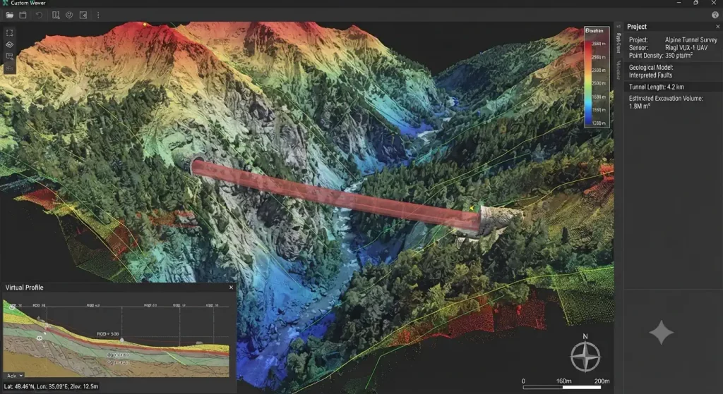
MAPPING AND 3D MODELING
CREATE 2D MAPS, CONTOUR LINES, TERRAIN MODELS, VOLUME MEASUREMENTS, AND DETAILED 3D SITE
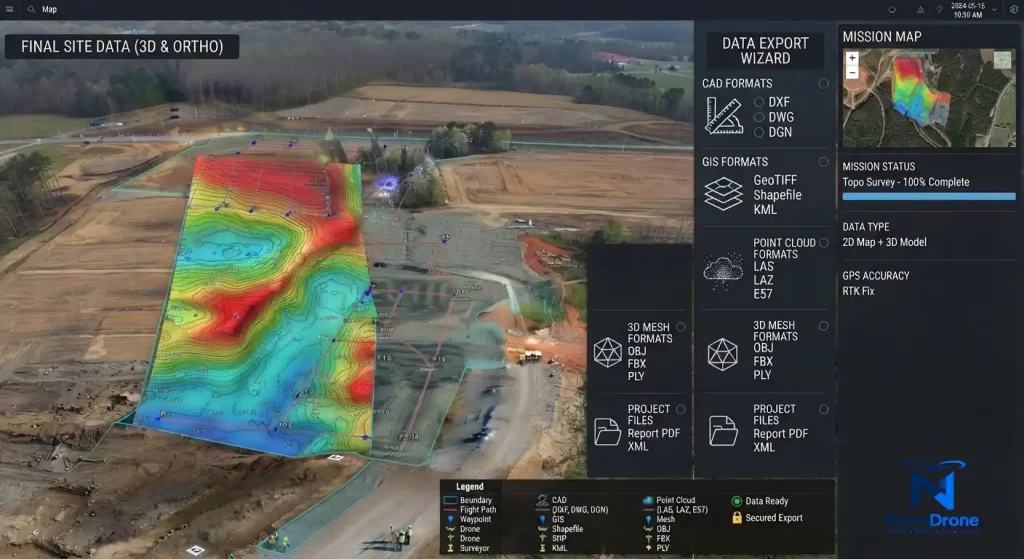
EXPORT AND INTEGRATION
EXPORT PROCESSED SURVEY DATA IN COMMON FORMATS FOR CAD, GIS, ENGINEERING, CONSTRUCTION, AND PROJECT WORKFLOWS.
SURVEYING AND MAPPING WORK
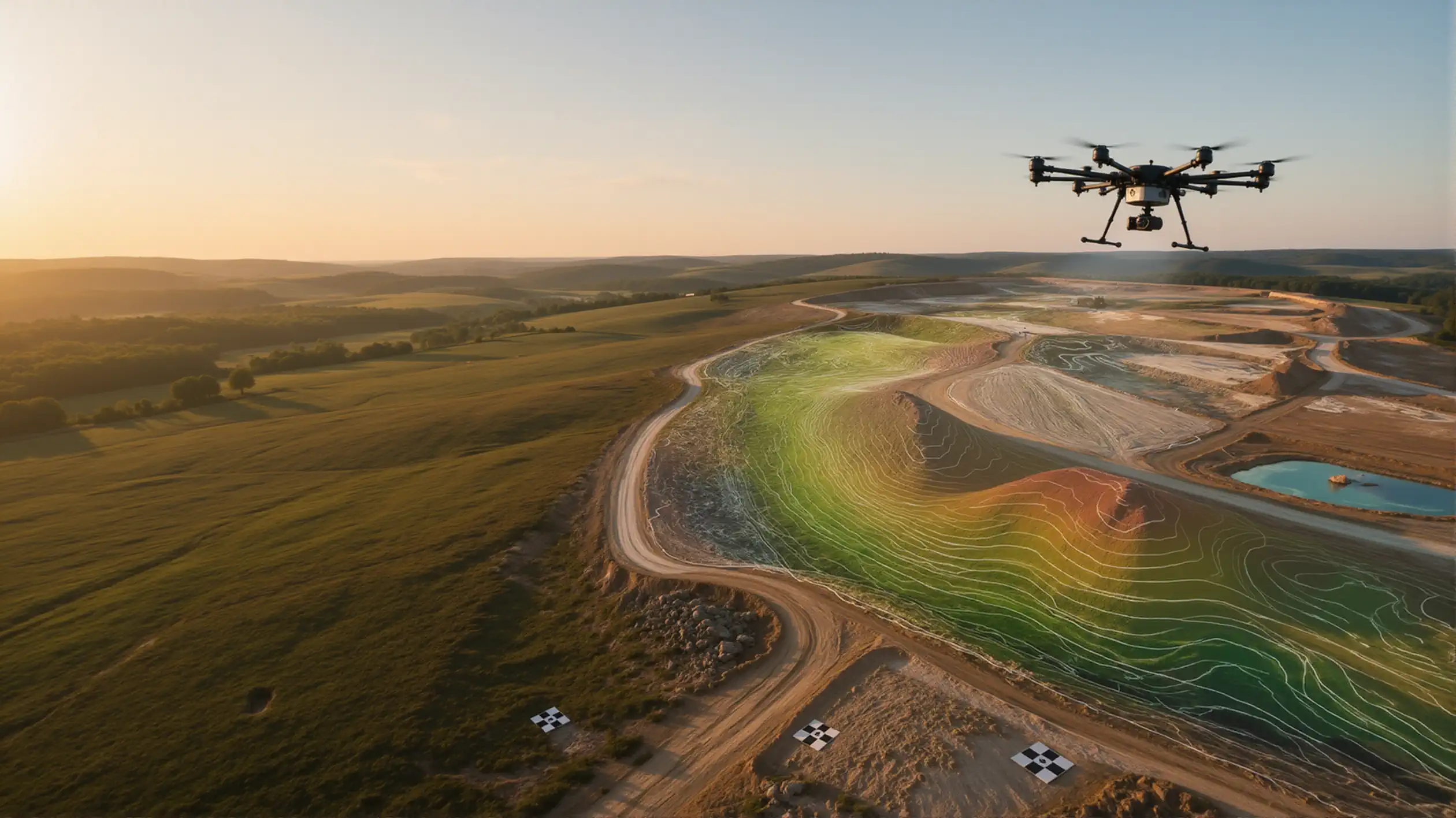
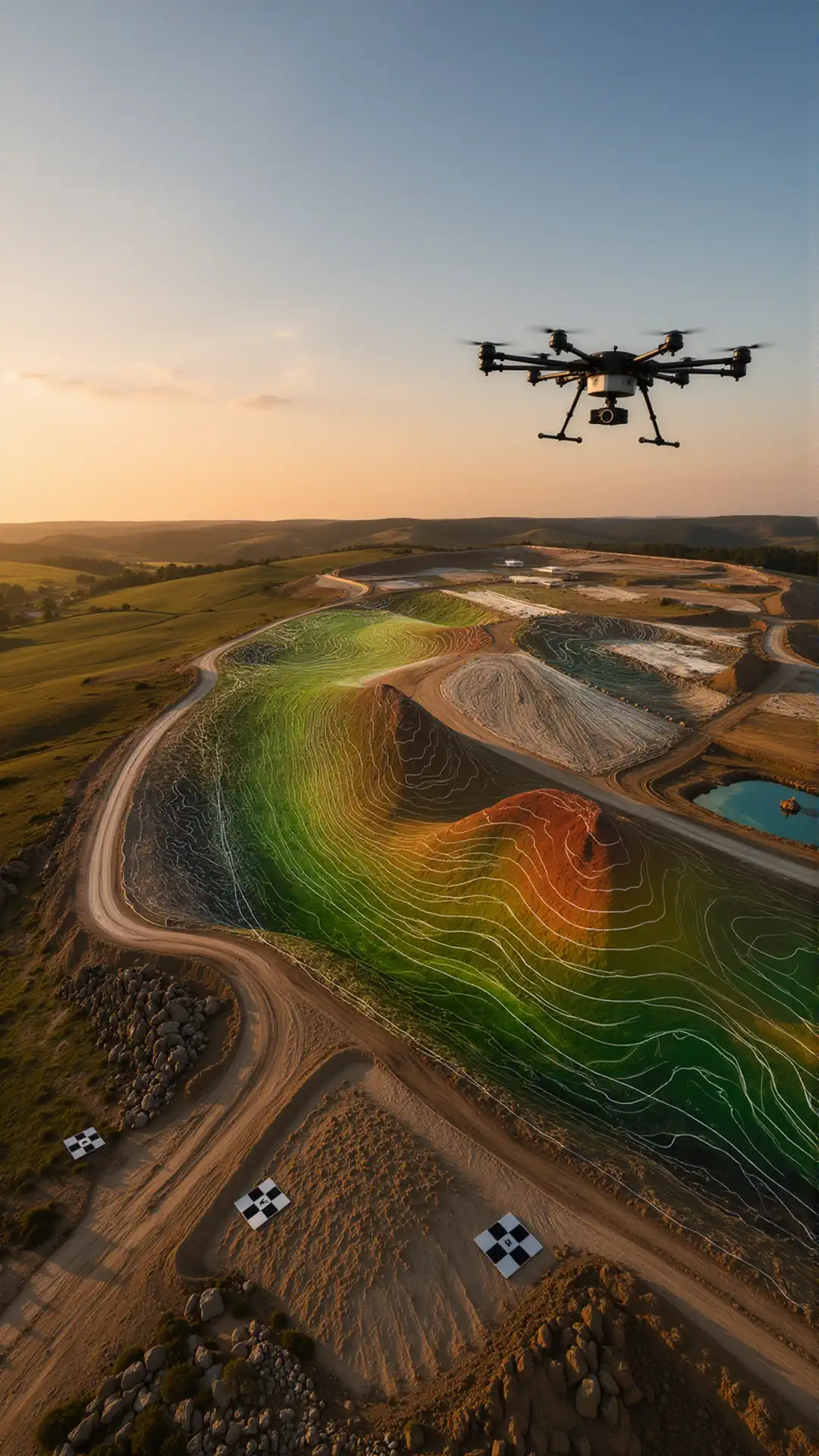
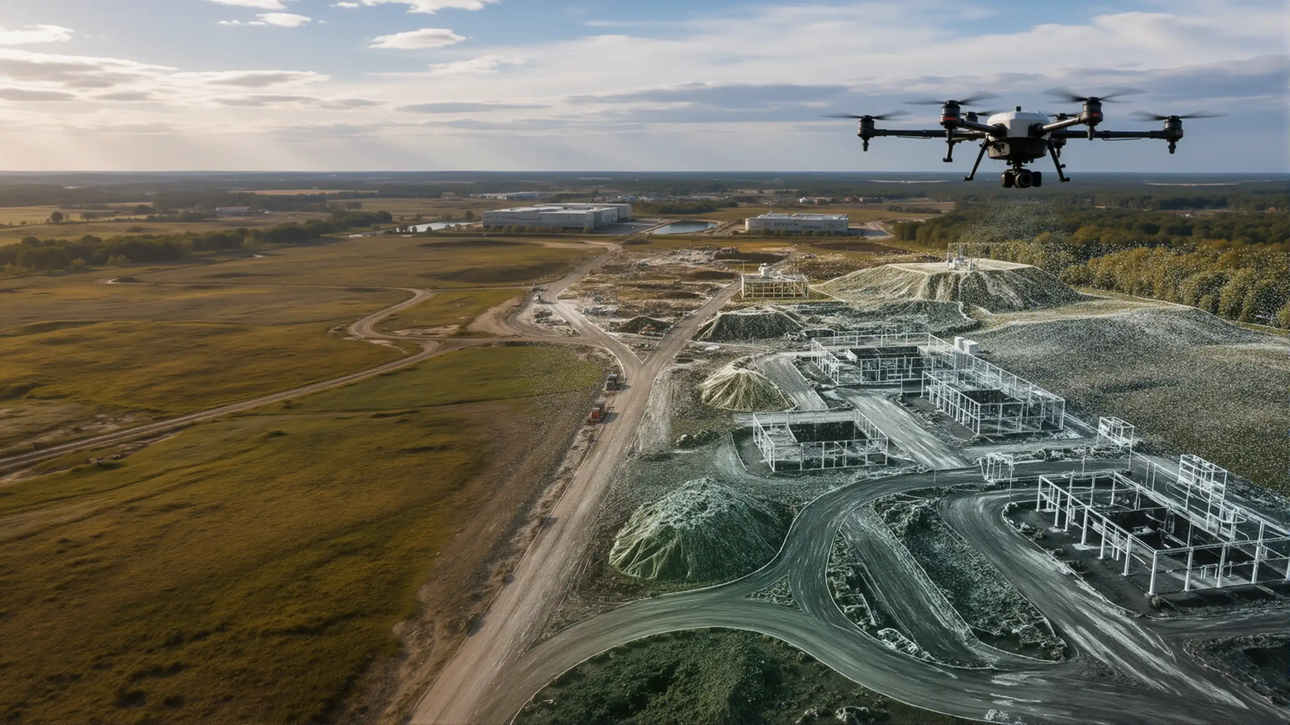
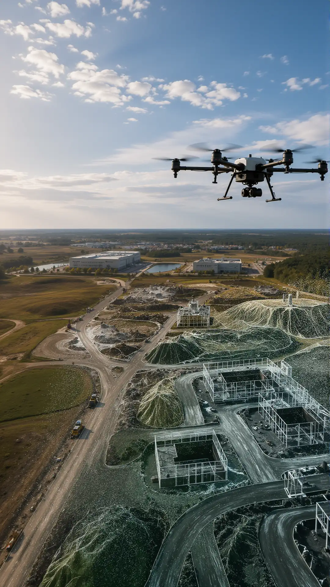
Aerial Drone Surveying
Aerial drone surveying provides current, high-resolution site data for engineering, development, infrastructure, and commercial drone survey projects. A UAV aerial survey can be repeated throughout a project to document changes, update site maps, and support GIS or CAD workflows.
Topographic Drone Surveying
Collect aerial data for terrain models, contours, elevation analysis, site planning, and existing-condition documentation. The required camera or sensor, positioning method, flight altitude, and ground control depend on the accuracy and final deliverables required by the project.
Drone Photogrammetry
Photogrammetry drones capture overlapping aerial images that compatible software converts into georeferenced orthomosaics, point clouds, elevation models, and measurable site data. UAV photogrammetry is used for land surveying, engineering, construction documentation, and large-area mapping.
3D Mapping and Site Modeling
3D mapping drones generate detailed point clouds, textured models, digital surface models, and digital terrain models. These outputs support site measurement, engineering analysis, planning, inspection, and project documentation.
Land Surveying with Drones
Land survey drones capture detailed aerial data for topographic surveys, site planning, contour generation, existing-condition documentation, and other professional land surveying workflows.
Frequently Asked Questions
What type of drone is best for land surveying?
The right land survey drone depends on the required accuracy, site size, terrain, deliverables, and processing workflow. Most surveying projects need a high-resolution mapping camera, automated flight planning, consistent image overlap, and RTK or PPK positioning. Larger sites may also benefit from longer flight time or a fixed-wing VTOL platform.
How accurate is drone surveying?
Drone surveying accuracy depends on flight altitude, camera quality, image overlap, positioning technology, ground control, terrain, and processing settings. RTK and PPK drones can improve image geotagging, but they do not guarantee a specific final accuracy on their own. The complete capture and processing workflow must match the project’s accuracy requirements.
What is the difference between RTK, PPK, and ground control points?
RTK applies positioning corrections during the flight, while PPK corrects the recorded position data after the flight. Ground control points are surveyed reference markers used to constrain or independently verify the final model. Some UAV land surveying workflows use RTK or PPK with a small number of checkpoints rather than a dense ground-control network.
What deliverables can be created from a UAV aerial survey?
Depending on the sensor and processing software, a UAV aerial survey can produce georeferenced orthomosaics, point clouds, contour lines, digital surface models, digital terrain models, elevation data, measurements, and textured 3D models. The required output should be defined before choosing the drone, camera, positioning system, and software.
What is drone photogrammetry?
Drone photogrammetry uses overlapping aerial images to reconstruct measurable maps and models of a site. Compatible software identifies common points across the images and converts them into orthomosaics, point clouds, elevation models, and 3D site models. Image quality, overlap, lighting, flight consistency, and positioning data all affect the result.
Do I need LiDAR or a photogrammetry drone?
Photogrammetry is generally suitable when the surface is visible and detailed color imagery is useful. LiDAR may be more appropriate for vegetation penetration, complex terrain, powerline corridors, or projects where direct distance measurements are required. Neither technology is universally better—the correct sensor depends on the site and required deliverables.
Can surveying drones create 3D models?
Yes. A compatible mapping drone and photogrammetry workflow can generate point clouds, textured models, digital surface models, and digital terrain models. For systems intended specifically for this workflow, see our LiDAR drones.
How do I choose a drone camera for land surveying?
Compare sensor size, image resolution, lens characteristics, shutter type, geotagging quality, payload integration, and compatibility with your processing software. A mechanical or global shutter is generally preferred for mapping because it reduces distortion caused by movement during image capture.
How much does a professional surveying drone system cost?
Pricing varies by aircraft type, camera or sensor, RTK or PPK capability, base station requirements, batteries, software, support, and training. Entry-level photogrammetry packages and complete commercial survey systems should not be compared by aircraft price alone. The full workflow and required deliverables determine the actual system cost.
Can one drone handle land surveying, photogrammetry, and 3D mapping?
Often, yes. A system with a suitable mapping camera, precise positioning, automated missions, and compatible processing software can support all three workflows. However, specialized requirements such as LiDAR mapping, bathymetric surveying, dense vegetation, or very large sites may require a different sensor or aircraft platform.
Drone Surveying for Land, Construction, and Mapping Projects
Drone surveying allows surveyors, engineers, contractors, and site managers to collect current aerial data across large or difficult-to-access areas. Instead of relying only on measurements taken from individual ground points, a drone can capture a consistent visual record of the entire site for subsequent processing, measurement, and comparison.
A typical UAV drone survey may be used to produce orthomosaic maps, point clouds, elevation models, contour data, 3D site models, stockpile measurements, and construction progress records. The exact accuracy and usefulness of these outputs depend on the aircraft, camera or sensor, flight plan, positioning method, ground control, processing workflow, and site conditions.
Drone surveying does not replace professional judgment. The system must be selected around the required deliverable, operating environment, accuracy target, and the software already used by the project team.
Choosing Land Survey Drones for Professional Work
Land survey drones vary significantly in flight endurance, camera quality, positioning capability, payload compatibility, and field setup. A system suitable for documenting a small construction site may not be the right choice for mapping a large corridor, quarry, agricultural property, or uneven terrain.
Before comparing land surveying drones, define:
- the size and shape of the survey area;
- the required ground sampling distance;
- the expected horizontal and vertical accuracy;
- whether RTK, PPK, or ground control points will be used;
- the type of terrain and available launch space;
- the required deliverables and file formats;
- the software used for processing, CAD, GIS, or engineering analysis.
Multirotor systems are generally easier to deploy in restricted areas and can capture detailed data over smaller sites. Fixed-wing and VTOL platforms are often better suited to larger areas where flight efficiency and coverage matter more than stationary inspection capability.
The best system is not necessarily the drone with the highest camera resolution or longest advertised flight time. It is the one that can consistently collect usable data under the actual conditions of the project.
UAV Land Surveying and Positioning Accuracy
For UAV land surveying, positioning is one of the most important parts of the complete workflow. Standard onboard GPS may be sufficient for visual documentation and general mapping, but projects requiring repeatable measurements or survey-grade outputs usually need a more controlled positioning process.
RTK and PPK systems can improve image geotagging and reduce reliance on numerous ground control points. However, they do not automatically guarantee final accuracy. Satellite visibility, base-station data, camera calibration, terrain variation, flight altitude, image overlap, processing settings, and checkpoint verification all affect the result.
A professional drone surveyor should evaluate the complete accuracy chain rather than relying on a single specification. This includes how data is captured, how coordinates are corrected, how the model is processed, and how the final output is checked against known points.
For legal boundaries, engineering certification, or regulated survey work, the final data may still need to be reviewed or certified by a licensed land surveyor according to applicable state and project requirements.
Aerial Drone Surveying and Site Coverage
Aerial drone surveying is especially useful where conventional field collection would be slow, disruptive, or difficult. Common applications include construction sites, road corridors, open land, quarries, stockpiles, industrial facilities, drainage areas, and preliminary site planning.
An aerial land survey drone can collect overlapping images across the project area while following a predefined route. Consistent altitude, speed, overlap, and camera orientation help processing software reconstruct the site accurately.
Coverage estimates should be treated carefully. Advertised flight time rarely equals productive mapping time because the aircraft must also account for takeoff, landing, reserve battery capacity, wind, turns, terrain, and safe operating distances. Large or complex sites may require multiple flights, additional batteries, or a higher-endurance aircraft.
The practical objective is not simply to fly the largest area. It is to collect a complete and consistent dataset without gaps, motion blur, poor overlap, or major changes in lighting conditions.
Photogrammetry Drones and Measurable Survey Outputs
Photogrammetry drones capture a series of overlapping aerial images that processing software uses to reconstruct the surveyed area. Depending on the workflow, UAV photogrammetry can produce:
- georeferenced orthomosaic maps;
- dense point clouds;
- digital surface models;
- digital terrain models;
- contour lines;
- textured 3D models;
- distance, area, and volume measurements.
Camera quality is important, but megapixel count alone does not determine the result. Sensor size, lens characteristics, shutter type, image sharpness, flight stability, image interval, and positioning quality can have an equal or greater effect on usable detail.
A mechanical or global shutter is often preferable for mapping because it reduces distortion caused by aircraft movement during image capture. Rolling-shutter cameras can still be useful, but they may require slower flight speeds or more careful processing.
When comparing photogrammetry drones, the correct starting point is the required ground resolution and accuracy—not the lowest aircraft price. A cheaper system can become more expensive in practice if it requires additional field time, repeated flights, more control points, or extensive manual data cleanup.
UAV Aerial Survey Workflows
A reliable UAV aerial survey workflow normally includes planning, site preparation, data collection, processing, verification, and export.
Before the flight, the operator should inspect the site, confirm airspace requirements, identify obstacles, define the survey boundary, and set appropriate altitude and image overlap. Ground control points or checkpoints should be placed where required and measured using suitable survey equipment.
During collection, the operator should monitor image quality, GNSS status, battery use, weather, and coverage. After the flight, the dataset should be checked before leaving the site. Missing images, poor focus, insufficient overlap, or incorrect exposure are easier to correct while the team is still on location.
Processing should then follow a repeatable workflow with documented coordinate systems, correction data, quality settings, and validation points. This is particularly important when results will be compared across multiple dates.
What a Drone Surveyor Should Consider Before Buying
A drone surveyor should choose a complete system rather than evaluate the aircraft in isolation. The camera, positioning equipment, batteries, controller, flight-planning application, processing software, support, training, and replacement-part availability all affect field performance.
Important questions include:
- Can the aircraft cover the expected site within a practical number of flights?
- Does the camera provide the required ground resolution at a safe altitude?
- Is RTK or PPK supported?
- Can the system work with the intended base station or correction network?
- Are the required coordinate systems and export formats supported?
- Is the processing software local, cloud-based, subscription-based, or perpetual?
- Can the system collect repeatable data for progress comparisons?
- Are technical support and replacement components available in the United States?
The appropriate configuration may also change between projects. A land development survey, construction progress map, stockpile calculation, and corridor survey can require different cameras, flight patterns, positioning methods, and processing settings.
Selecting a Surveying and Mapping Drone System
There is no single land surveying drone that is best for every project. Small sites may benefit from a compact multirotor system that is easy to transport and launch. Large-area mapping may justify a fixed-wing or VTOL platform with longer endurance. High-detail inspection and terrain modeling may require different payloads or flight characteristics.
The most effective way to compare systems is to start with the required output:
- Define what must be measured or delivered.
- Establish the accuracy and resolution requirements.
- Confirm the site size, terrain, and operating restrictions.
- Select an appropriate aircraft, camera, and positioning workflow.
- Verify compatibility with the required processing and export software.
This approach prevents overpaying for features that do not improve the final result while reducing the risk of selecting a system that cannot meet the project requirements.
A ready-to-deploy surveying and mapping system should provide more than an aircraft. It should combine compatible hardware, positioning, flight planning, data processing, and a practical field workflow built around the work the operator actually performs.